Printable map of Indian states and union territories
Free PDFs, ready for A4 or Letter. Print in colour or black and white.
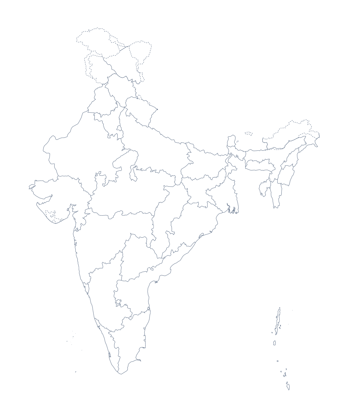
Printing a map of Indian states and union territories
An Indian geography class has a great deal to place on one sheet: 28 states and 8 union territories, plus the cities that anchor a lesson. This page has two PDFs for it, a blank outline and a version with regions, both without names, for A4 or Letter in colour or black and white.
Sorting states from union territories
Ask pupils to colour the states in one colour and the union territories in another, working from a reference list from their textbook. The sheet makes the sorting visible, and the answer is simple to check at the end of the lesson.
For a quick starter, give out the blank outline and ask for five dots. Mumbai, Delhi, Kolkata, Chennai and Bengaluru make a good set, and New Delhi, the capital, can earn a star. Younger children can match each dot to its name on a card.
Quizzes and group work
Older pupils can number twelve shapes on the version with regions and write their names, then swap and mark against the list on this page. Split the full set among groups for a display: each group researches its share, colours it and labels it, and the sheets are mounted side by side.
Picking the PDF and printing it
Use With regions for labelling, sorting and anything that needs the lines between states. Use Blank outline when the lesson is about the shape or about placing cities. A class set photocopies well in Black and white. Print at 100% so the sheet matches the key, or "fit to page" if your printer cuts the edge.
To add names, a title or A3 paper, choose Customise before printing. The printable map of India is the country's own sheet, and the editable map of the Indian states and union territories adds labels on screen.
How to do it in MapMaker
- Choose With regions for the states and union territories, or Blank outline for the shape.
- Pick A4 or Letter, and Colour or Black and white.
- Open the PDF and print it at 100%.
- Colour the shapes your lesson needs with the bar on the map, then choose Download your map to save a PDF with them.
- Choose Customise before printing for names, a title or an A3 sheet.
The 28 states and 8 union territories on the map
A key for labelling the map by hand.
- Andaman and Nicobar Islands
- Andhra Pradesh
- Arunachal Pradesh
- Assam
- Bihar
- Chandigarh
- Chhattisgarh
- Dadra and Nagar Haveli and Daman and Diu
- Delhi
- Goa
- Gujarat
- Haryana
- Himachal Pradesh
- Jammu and Kashmir
- Jharkhand
- Karnataka
- Kerala
- Ladakh
- Lakshadweep
- Madhya Pradesh
- Maharashtra
- Manipur
- Meghalaya
- Mizoram
- Nagaland
- Odisha
- Puducherry
- Punjab
- Rajasthan
- Sikkim
- Tamil Nadu
- Telangana
- Tripura
- Uttar Pradesh
- Uttarakhand
- West Bengal
Facts about Indian states and union territories
This map shows 28 states and 8 union territories in Southern Asia. The capital is New Delhi. The population is about 1.4 billion (2019 estimate). The largest cities are Mumbai, Delhi, Kolkata, Chennai and Bengaluru.
Questions people ask
How many states and union territories does the printable map show?
The With regions PDF draws 28 states and 8 union territories as separate shapes. The list further down this page names every one, so it doubles as the key when you check a labelling sheet.
Does the map have the names printed on it?
No. The PDFs are drawn without names, so pupils can write them in. If you want names or a title already on the sheet, choose Customise before printing and download a PDF from the editor.
Can I colour states and union territories differently?
Yes. Pupils can do it by hand with two pencils, or you can click the shapes with colours from the bar on the map and choose Download your map to save a PDF with those colours.
Which cities should pupils mark on it?
Mumbai, Delhi, Kolkata, Chennai and Bengaluru are the largest cities in the map's data, and New Delhi is its capital. A blank outline with five dots and five names is a good first task.