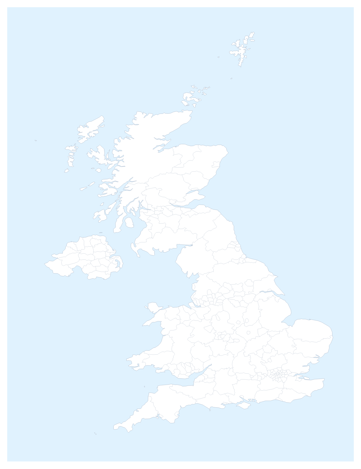
Editable map of UK counties and council areas
Colour the regions, add cities and labels, and download it in minutes. Free, no sign-up.
Ideas for a map of UK counties and council areas
Anyone who needs a map below country level in the UK ends up with this one: a delivery round, a franchise patch, a planning report or a school project that works county by county. The map opens in the editor with all 232 administrative areas drawn, so you colour the shapes you need and leave the rest.
Patches, rounds and sites
A regional sales team can give each rep a colour and click the counties and council areas that rep covers, with a legend that carries the rep's name. A trade business can colour the areas it will travel to and pin Birmingham, Manchester, Leeds and Sheffield as bases. A property or retail report can mark the areas with a shop in one colour and the areas planned next in another. With so many shapes on the page, a national slide works best when most are left grey and a handful carry colour.
A project or a trip
Pupils studying a handful of areas, such as Cornwall, Highland or Gwynedd, can colour them and show the names; a family can colour where relatives lived, one colour per branch, and add a title. A road trip is a few pins, say London, Leeds and Manchester, joined by a route with numbered stops.
Working with 232 areas
Small areas are hard to hit on a page map, so use Customise this map: the editor's place list names each one, and a pick selects it. Neighbours shows Ireland in grey beside the UK, and Sea turns the sea white. Minimal keeps a report quiet and Dark suits a deck with a dark theme.
Slides and files
Set the canvas to 16:9 and download a PNG with Transparent on for a slide with its own background, or use Copy image to paste into PowerPoint, Google Slides or Keynote. The map for PowerPoint page has more. SVG goes to a design tool. For the country on its own, see the editable map of the United Kingdom.
How to do it in MapMaker
- Pick a colour in the bar on the map and click the areas you want, or choose Customise this map and pick small ones from the place list.
- Give each territory its colour, then rename the legend lines under Legend labels in the Data panel.
- Add London, Birmingham or Leeds with Find a city, and a title on the Canvas tab.
- Choose Download and save a PNG for slides or an SVG for a design tool.
Embed this map
Paste this code into your website to show this map of UK counties and council areas, with a small credit link back to MapMaker.so.
Facts about UK counties and council areas
This map shows 232 administrative areas in Northern Europe. Together they have an area of about 243,000 km². The capital is London. The population is about 67 million (2019 estimate). The largest cities are London, Birmingham, Manchester, Leeds and Sheffield.
Questions people ask
How do I colour the counties and council areas?
Pick a colour in the bar on the map and click an area to fill it; click again to clear it. With 232 administrative areas, the editor's place list is quicker for small ones: choose Customise this map and pick Rutland or Kent by name.
How do I group areas into sales territories?
Give each territory one colour and click every area it covers. The legend gets a line per colour, and you can rename each line under Legend labels in the Data panel, for example with the name of the rep or depot.
Can I show the names of the counties and council areas?
Yes. In the editor, select the areas you want named and choose Show names on the card. With so many areas, name only the ones the slide is about, or the labels will crowd each other.
Can I add Manchester, Leeds or Sheffield to the map?
Yes. Add your cities opens the pin tool with Find a city ready. Type London, Birmingham, Manchester, Leeds or Sheffield and the pin lands on it; rename it for your own branch or site.