Printable map of South Asia
Free PDFs, ready for A4 or Letter. Print in colour or black and white.
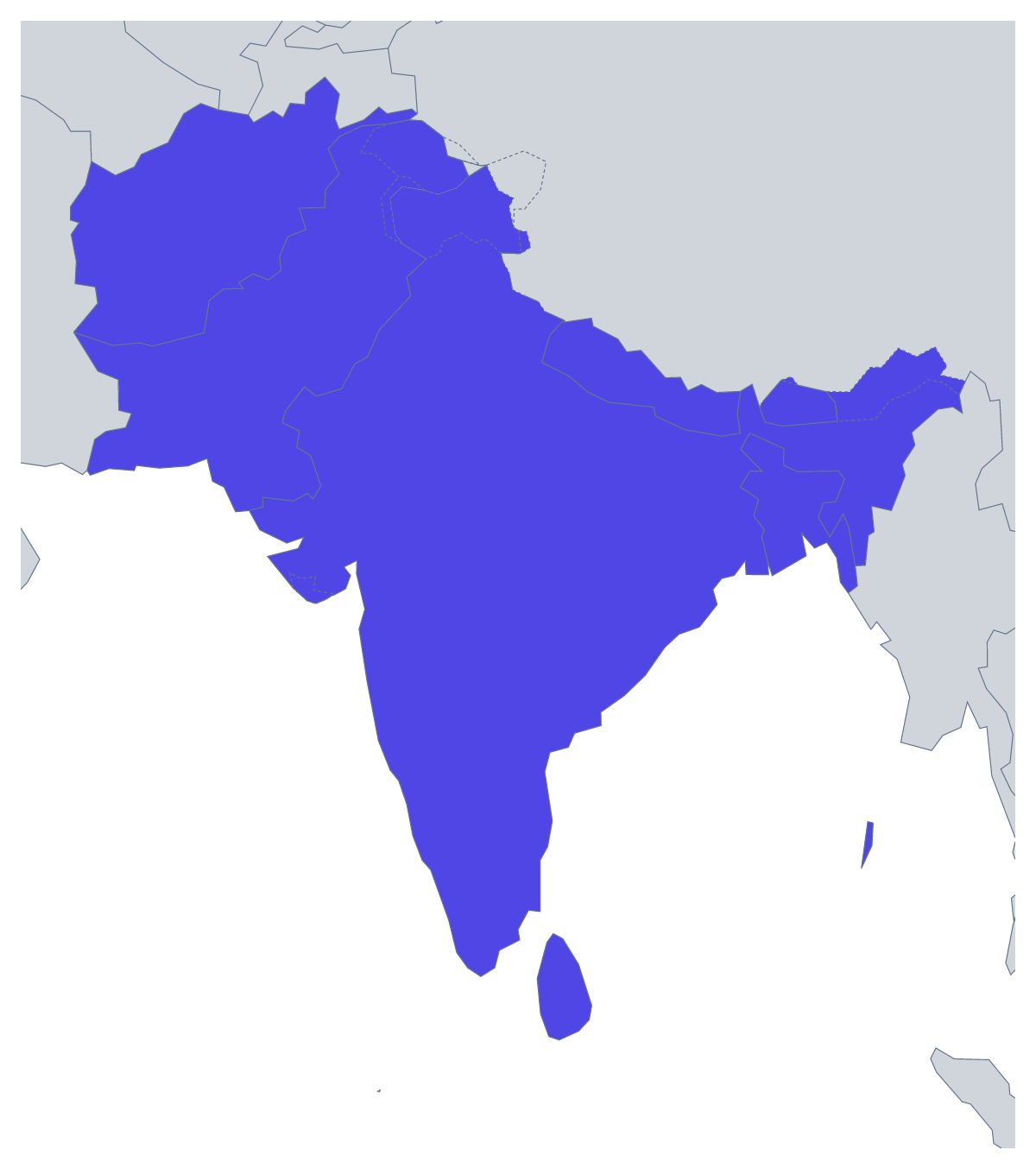
Printing a map of South Asia
Eight countries make one of the easiest regions to put on a single sheet, which is why teachers print this map for a topic on the subcontinent, a short test or a display board, and why parents use it for homework. You can print With country borders, which draws all eight, or a Blank outline of the region with the borders left out. Both are PDFs with no names on them.
A sheet for each age
With eight countries, a full labelling test fits in ten minutes. Older pupils fill in every name from memory, then check against the list further down this page and swap sheets to mark. A harder version asks them to colour the countries in groups by a rule you set, with a key to explain it.
Younger children can colour Nepal one colour, Bhutan another and so on, and copy each name into a key beside the map. For a research task, hand one country to each of eight pairs, ask for a short fact sheet in the margin and join the finished maps into one large display.
Picking the version
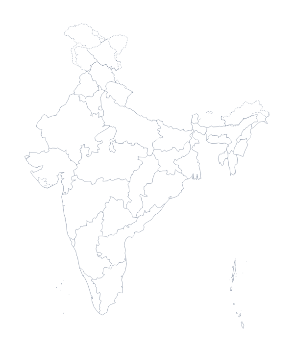
With country borders is the sheet for labelling, quizzes and colour rules. The Blank outline is for drawing borders by hand or tracing the shape of the region. Black and white photocopies cleanly for a class set; colour suits a single sheet for the wall. Shade a few countries first with the bar on the map and Download your map prints your version. For names, a title or A3, use Customise before printing. The printable map of India goes with it when a lesson looks closer at the largest country on the sheet.
Printing tips
Laminate one copy per table and give out dry-wipe pens; the same sheet then serves every class that day.
How to do it in MapMaker
- Pick A4 or Letter, then Colour or Black and white.
- Choose With country borders for the eight countries, or Blank outline for the shape of the region.
- Print the PDF at 100% so the countries keep their proportions.
- To shade countries first, pick a colour in the bar on the map, click them and choose Download your map.
- Choose Customise before printing for names, a title or an A3 sheet.
The 8 members on the map
A key for labelling the map by hand.
- Afghanistan
- Bangladesh
- Bhutan
- India
- Maldives
- Nepal
- Pakistan
- Sri Lanka
Facts about South Asia
This map shows the eight countries of South Asia that make up SAARC. 8 members are on the map. The members are Afghanistan, Bangladesh, Bhutan, India, Maldives, Nepal, Pakistan and Sri Lanka.
Maps of places in South Asia

Questions people ask
Which countries are on the printable map of South Asia?
Eight: Afghanistan, Bangladesh, Bhutan, India, Maldives, Nepal, Pakistan and Sri Lanka. The list further down this page names each one, so it can serve as the answer key.
Which version should I print for a labelling worksheet?
With country borders. It gives each of the eight countries its own shape to write a name in. The blank outline leaves the borders out, so it suits pupils who draw the lines in from an atlas.
Does the printable map of South Asia show country names?
No. Names are left off on purpose so pupils can write them in. To print a copy with names, choose Customise before printing, show the names in the editor and download a PDF from there.
Is this printable map of South Asia free?
Yes. Both versions are free to download and print on A4 or Letter, in colour or black and white. There is nothing to sign up for.