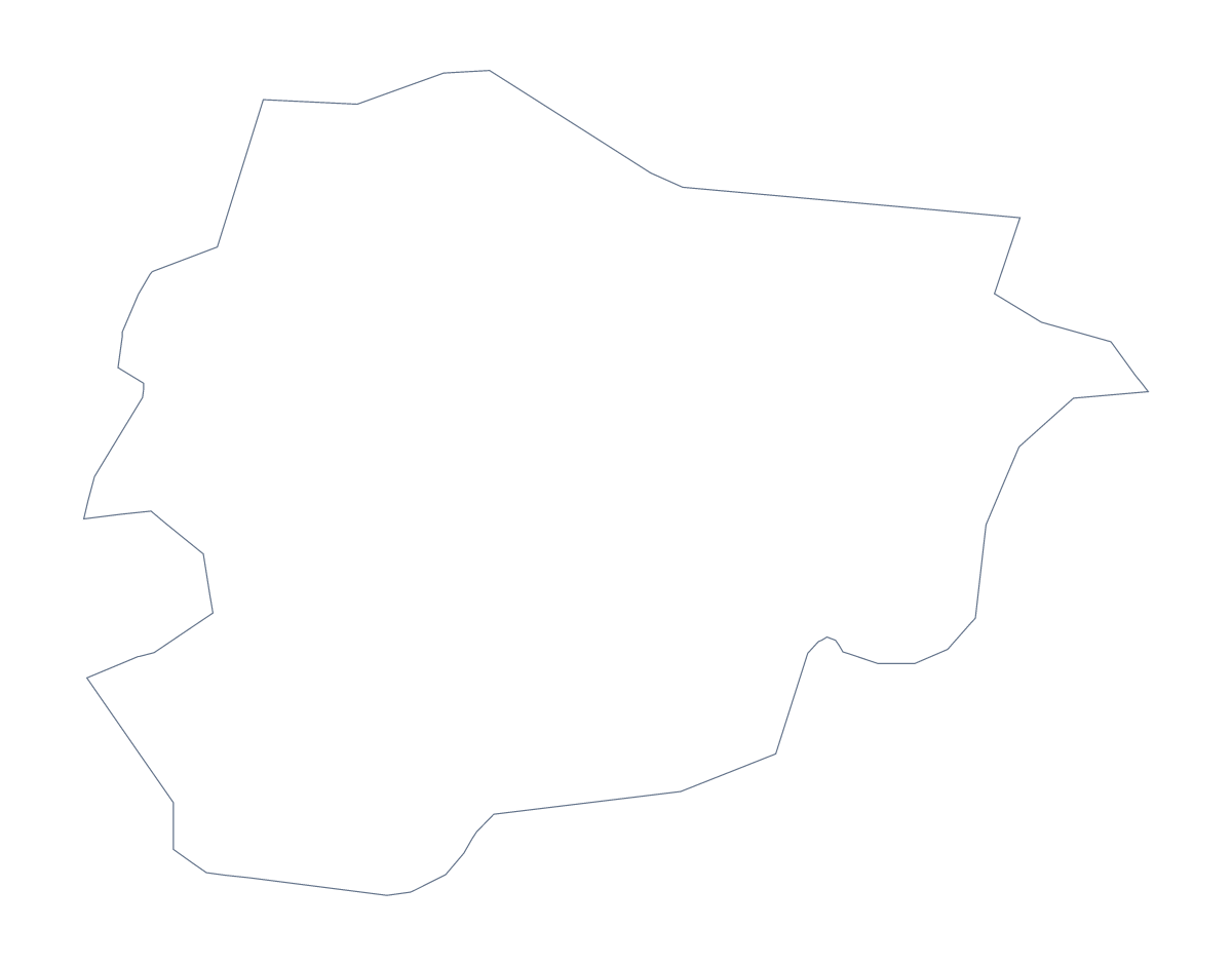
Blank map of Andorra
The outline, free as a PNG, SVG or PDF. Label it, colour it in or drop it into a slide.
Using a blank map of Andorra
A map of Andorra is often used large, because the country is small, so the file format matters more here than the shape. This page gives you the outline as a PNG, an SVG or a PDF. Outline only is the country on its own, and With borders draws its 7 administrative areas inside it.
Scale it up without losing detail
The SVG and the PDF are vector files, so a poster or a banner can use Andorra at several times the size of a slide without blurring. That helps when you want the 7 areas big enough to label by hand. If a slide only needs the shape, the PNG drops in with its transparent background.
In a lesson or a quiz
Place the PNG of With borders on a worksheet and number three or four areas, such as Encamp, La Massana and Escaldes-Engordany. Pupils write the name for each number, and the list further down this page is the answer sheet. A shorter starter for younger children: colour the whole outline, then trace it onto thin paper and cut the shape out for a class display. Pupils who finish early can add a title and a key in the margin before the answers are revealed.
Which version
The political blank map of Andorra is With borders: seven areas, no names. Outline only suits a silhouette on a cover, a logo sketch or a place marker on a bigger design. For colouring, pins or names, Customise this map opens the same outline in the editor; for black and white or choices on paper, see the printable map of Andorra.
How to do it in MapMaker
- Choose With borders for the 7 administrative areas, or Outline only for the plain shape.
- Pick SVG or a PDF if the map will be enlarged, and PNG for a slide or a document.
- Place the file on your page and resize it from a corner.
- Use the list of areas on this page as an answer sheet.
- Choose Customise this map to add names, pins or a title.
The 7 administrative areas on the map
A key for labelling the map by hand.
- Andorra la Vella
- Canillo
- Encamp
- Escaldes-Engordany
- La Massana
- Ordino
- Sant Julià de Lòria
Facts about Andorra
Andorra is in Southern Europe. The capital is Andorra. The population is about 77,000 (2019 estimate). Andorra has an area of about 450 km². It borders France and Spain. The map divides it into 7 administrative areas.
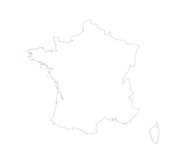
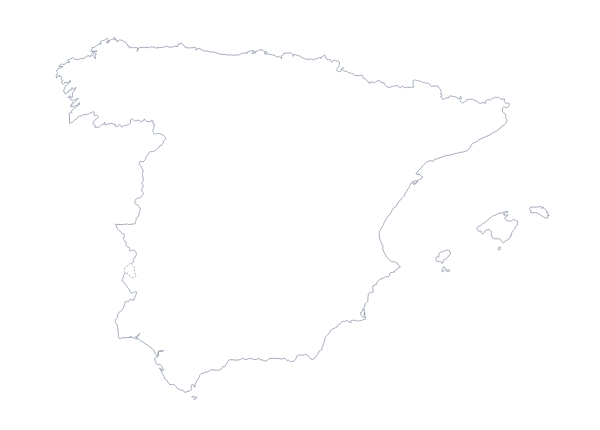
Maps of neighbouring places
Questions people ask
How many areas does the blank map of Andorra show?
The With borders version draws 7 administrative areas as separate shapes. Outline only is the country as one shape. Neither version has names on it.
Is there a political blank map of Andorra?
Yes, the With borders version. It has the 7 administrative areas drawn in and no names, so you can label them yourself in a worksheet or a design.
Can I make the outline bigger without it going blurry?
Yes. Take the SVG or a PDF: both are vector files and stay sharp at any size, which matters for a country this small when you scale it up for a poster.
Does the PNG have a transparent background?
Yes. The area around Andorra is see-through, so the shape takes the colour of the slide or page behind it.