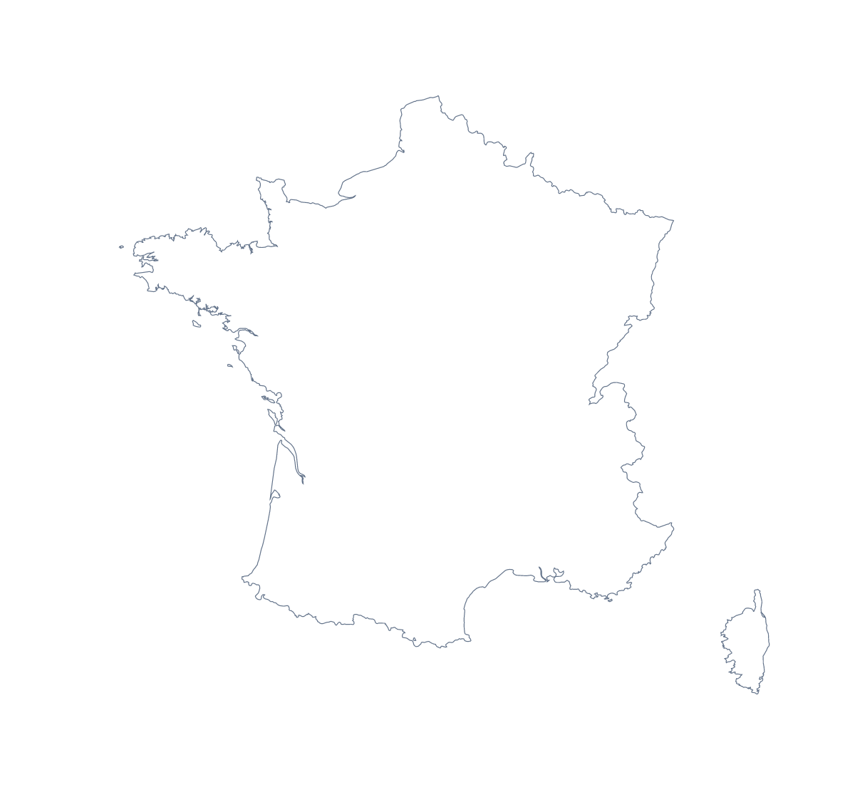
Blank map of France
The outline, free as a PNG, SVG or PDF. Label it, colour it in or drop it into a slide.
Using a blank map of France
A blank map of France usually ends up inside something you are making yourself: a geography worksheet, a revision slide, a poster for a French class, a design that needs the shape of the country. This page gives you that shape as a file. Outline only is France with nothing inside it, and With borders adds its 101 departments. Each version comes as a PNG, an SVG or a PDF.
Labelling, quizzes and colouring in
For a labelling task in your own worksheet, place the PNG of With borders and put numbered boxes beside a few departments, such as Calvados, Haute-Savoie, Hérault and Loire-Atlantique. Pupils write a name in each box, and the list of departments further down this page is your answer key.
A quick starter works on Outline only: pupils mark Lille, Nice and Paris from memory, then check against an atlas and correct their dots in a second colour. Younger children can colour the shape in, or trace it onto thin paper and cut it out for a class display.
Slides and design work
On a slide, the transparent PNG lets France sit on your theme colour with no white box around it, so a title or a few figures can go beside it. The SVG opens in Illustrator, Inkscape or Figma at any size without blurring: trace the outline for a poster, set a heavier line for a cover, or recolour the departments in the palette of a report.
Which version, which file
The political blank map of France is the With borders version: the department lines and no names, which suits labelling and quizzes. Outline only suits a silhouette, a cover or younger pupils. Take the PNG for worksheets and slides, the SVG for design tools and the PDF when you want the outline on A4 or Letter as it stands. For black and white, or a sheet coloured in on the page before you print it, use the printable map of France; for names, pins or a title, choose Customise this map and finish it in the editor.
How to do it in MapMaker
- Pick With borders for the 101 departments, or Outline only for the plain shape of France.
- Choose PNG for a worksheet or a slide, SVG for a design tool, or PDF, A4 or PDF, Letter to print it.
- Drop the PNG onto your page and resize it from a corner, so the outline keeps its proportions.
- Mark a labelling task against the list of departments on this page.
- Choose Customise this map when the map needs names, colours or a title, and download it from the editor.
The 101 departments on the map
A key for labelling the map by hand.
- Ain
- Aisne
- Allier
- Alpes-de-Haute-Provence
- Alpes-Maritimes
- Ardèche
- Ardennes
- Ariège
- Aube
- Aude
- Aveyron
- Bas-Rhin
- Bouches-du-Rhône
- Calvados
- Cantal
- Charente
- Charente-Maritime
- Cher
- Corrèze
- Corse-du-Sud
- Côte-d’Or
- Côtes-d'Armor
- Creuse
- Deux-Sèvres
- Dordogne
- Doubs
- Drôme
- Essonne
- Eure
- Eure-et-Loir
- Finistère
- French Guiana
- Gard
- Gers
- Gironde
- Guadeloupe
- Haut-Rhin
- Haute-Corse
- Haute-Garonne
- Haute-Loire
- Haute-Marne
- Haute-Saône
- Haute-Savoie
- Haute-Vienne
- Hautes-Alpes
- Hautes-Pyrénées
- Hauts-de-Seine
- Hérault
- Ille-et-Vilaine
- Indre
- Indre-et-Loire
- Isère
- Jura
- Landes
- Loir-et-Cher
- Loire
- Loire-Atlantique
- Loiret
- Lot
- Lot-et-Garonne
- Lozère
- Maine-et-Loire
- Manche
- Marne
- Martinique
- Mayenne
- Mayotte
- Meurthe-et-Moselle
- Meuse
- Morbihan
- Moselle
- Nièvre
- Nord
- Oise
- Orne
- Paris
- Pas-de-Calais
- Puy-de-Dôme
- Pyrénées-Atlantiques
- Pyrénées-Orientales
- Réunion
- Rhône
- Saône-et-Loire
- Sarthe
- Savoie
- Seine-et-Marne
- Seine-Maritime
- Seine-Saint-Denis
- Somme
- Tarn
- Tarn-et-Garonne
- Territoire de Belfort
- Val-d'Oise
- Val-de-Marne
- Var
- Vaucluse
- Vendée
- Vienne
- Vosges
- Yonne
- Yvelines
Facts about France
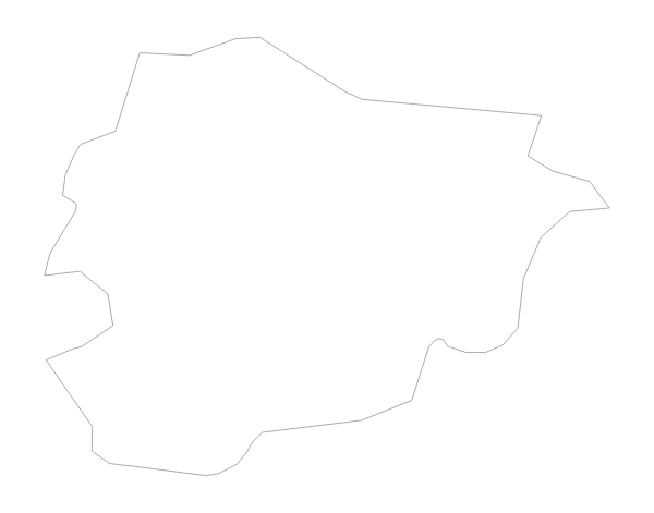
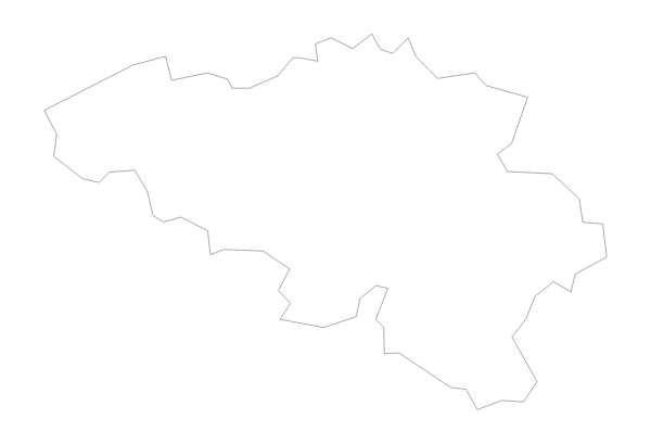
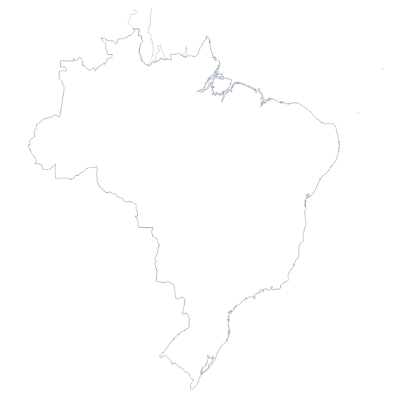
France is in Western Europe. The capital is Paris. The population is about 67 million (2019 estimate). France has an area of about 636,000 km². The largest cities are Paris, Lyon, Marseille, Lille and Nice. It borders Andorra, Belgium, Brazil, Germany, Italy, Luxembourg, Monaco, Spain, Suriname and Switzerland. The map divides it into 101 departments.
Maps of neighbouring places
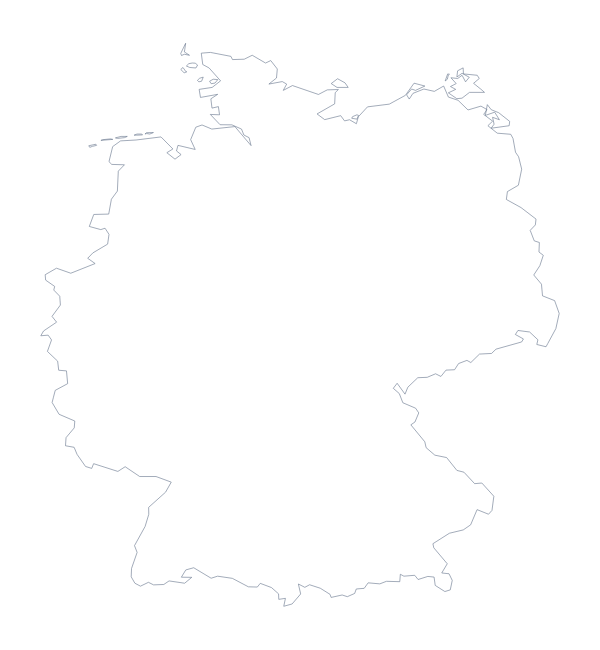
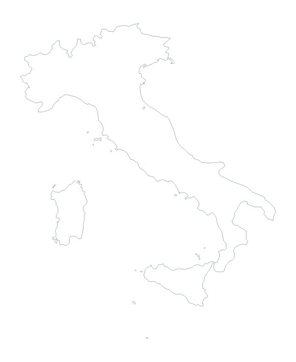
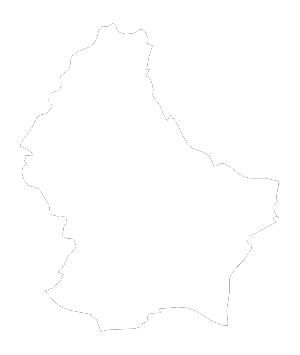
Questions people ask
What is the difference between Outline only and With borders?
Outline only is the shape of France with nothing inside it. With borders adds the lines of all 101 departments, which makes it the political blank map of France. Neither version has a single name on it.
Does the PNG have a transparent background?
Yes. Everything around the outline is see-through, so the map of France takes on the colour of whatever you place it on: a coloured slide, a tinted worksheet box or a poster background.
Can I open the SVG in Illustrator, Inkscape or Figma?
Yes. The SVG is a vector file, so the outline of France, and the department lines in the With borders version, stay sharp at any size and can be recoloured, thickened or traced in a design tool.
Is there an answer key for a labelling quiz?
Yes. The list of departments further down this page names all 101 that the With borders version draws. Number the ones you want pupils to find, and mark their answers against the list.