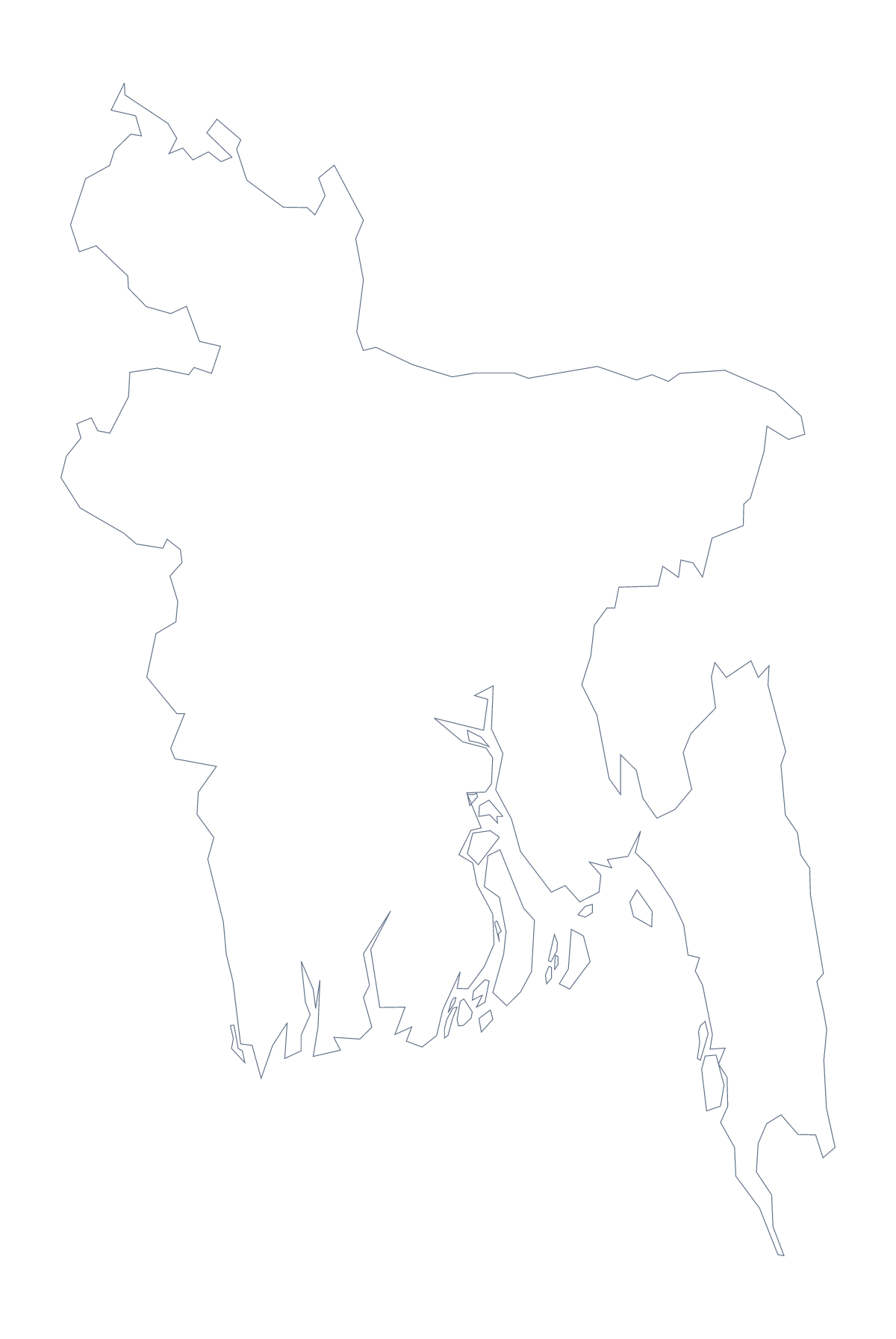
Blank map of Bangladesh
The outline, free as a PNG, SVG or PDF. Label it, colour it in or drop it into a slide.
Using a blank map of Bangladesh
Whether you are making a report cover, an infographic or a worksheet, a clean shape of Bangladesh saves redrawing it. This page offers Outline only, the country on its own, and With borders, which adds its 7 administrative areas. Each is a PNG on a transparent background, an SVG and a PDF for A4 or Letter.
Slides and infographics
Put the PNG on a slide and let its transparent background pick up the slide colour; the shape then sits beside a title, a figure or a short list without a box round it. For an infographic, bring the SVG into Figma, Illustrator or Inkscape, fill each of the seven areas with the shade your data calls for and add your own labels and numbers.
Labelling and quizzes
The With borders version is the political blank map of Bangladesh: seven shapes, no names. For a quiz, number each shape in the copy you paste into your worksheet and give pupils a list of names to match. The list of areas further down this page is the answer sheet, and it covers Barisal, Chattogram, Dhaka, Khulna, Rajshahi, Rangpur and Sylhet.
Outline only is the cleaner file when the map is only decoration: a silhouette behind a title, a cover for a project folder or a shape to trace in a design tool.
Picking the file
A PNG fits a worksheet or slide; an SVG fits any design tool; the PDF gives you the outline on A4 or Letter as it is drawn. For names, pins or a title on the map, Customise this map opens it in the editor, and the editable map of Bangladesh has the bar for quick colouring.
How to do it in MapMaker
- Choose With borders for the 7 areas or Outline only for the shape alone.
- Download the PNG for a slide, the SVG for a design tool or a PDF for A4 or Letter.
- Place it in your worksheet or slide and add numbers beside the areas to be named.
- Mark answers against the list of areas further down the page.
- For names or colours, choose Customise this map and download from the editor.
The 7 administrative areas on the map
A key for labelling the map by hand.
- Barisal
- Chattogram
- Dhaka
- Khulna
- Rajshahi
- Rangpur
- Sylhet
Facts about Bangladesh
Bangladesh is in Southern Asia. The capital is Dhaka. The population is about 160 million (2019 estimate). Bangladesh has an area of about 137,000 km². The largest cities are Dhaka, Chattogram, Khulna, Rajshahi and Comilla. It borders India and Myanmar. The map divides it into 7 administrative areas.
Maps of neighbouring places
Questions people ask
Is there a political blank map of Bangladesh?
Yes: it is the With borders version, which draws the lines of all 7 administrative areas and leaves them unnamed. The list of areas lower down this page is the key for labelling.
How many administrative areas does the blank map show?
The With borders version shows 7, running alphabetically from Barisal to Sylhet. Outline only shows no inner lines at all, just the shape of Bangladesh.
Can I open the SVG in Illustrator, Inkscape or Figma?
Yes. The SVG is a standard vector file, so it opens in all three, and the shapes can be restyled, traced or resized without losing sharpness.
Can I colour the map in before I download it?
Not on this page, which does not change the map. Choose Customise this map to colour the areas in the editor and download from there, or colour them on the editable page.