Blank map of Myanmar
The outline, free as a PNG, SVG or PDF. Label it, colour it in or drop it into a slide.
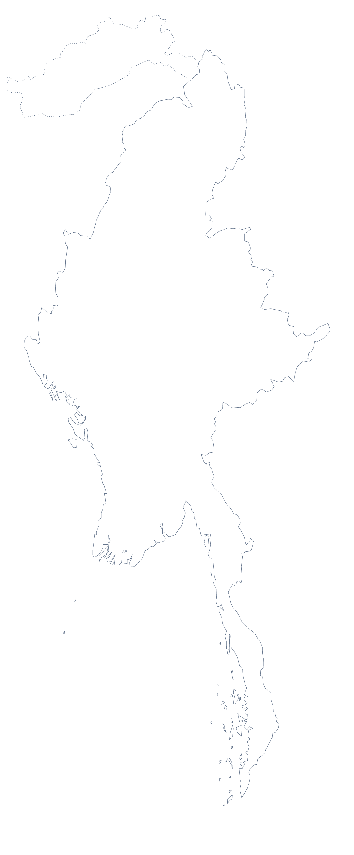
Using a blank map of Myanmar
Here is Myanmar as a shape you can put into your own work. There are two versions, Outline only and With borders, which draws its 14 administrative areas. Each one comes as a PNG on a transparent background, an SVG and a PDF.
A labelling task with a key
The political blank map of Myanmar is the With borders version. Print it or paste the PNG into a worksheet, number six areas and ask pupils to name them. The list further down this page is the answer sheet. Kayah State and Kayin State have names that look alike, which is a good reason for pupils to read the key with care.
A report page or a presentation
If Myanmar is one section of a larger report, the PNG fits on a slide or a document page without a white box around it. Put it in the corner of a section divider, or behind a short list of facts. Choose Outline only when you want the shape to stay quiet behind the text.
Design work
Take the SVG into Figma or Illustrator when you want to restyle. The areas can take a brand colour each, be separated into a diagram or be exported for a printer. Inkscape works the same way. Because the file is vector, it enlarges without blurring.
Which file
PNG for slides and worksheets; SVG for design tools and large sizes; PDF for A4 or Letter. For ink and paper decisions, see the printable map of Myanmar. To add names, a title or colours, choose Customise this map, or use the editable map of Myanmar.
How to do it in MapMaker
- Choose With borders to get the 14 administrative areas, or Outline only for the shape.
- Download the PNG for a slide or a worksheet, or the SVG for a design tool.
- Place it where you need it; the background stays transparent.
- Choose Customise this map to add names, colours or a title.
The 14 administrative areas on the map
A key for labelling the map by hand.
- Ayeyarwady
- Bago
- Chin State
- Kachin State
- Kayah State
- Kayin State
- Magway
- Mandalay
- Mon State
- Rakhine State
- Sagaing
- Shan State
- Tanintharyi
- Yangon
Facts about Myanmar
Myanmar is in South-Eastern Asia. The capital is Naypyidaw. The population is about 54 million (2019 estimate). Myanmar has an area of about 665,000 km². The largest cities are Yangon, Mandalay, Naypyidaw, Mawlamyine and Bago. It borders Bangladesh, China, India, Laos and Thailand. The map divides it into 14 administrative areas.
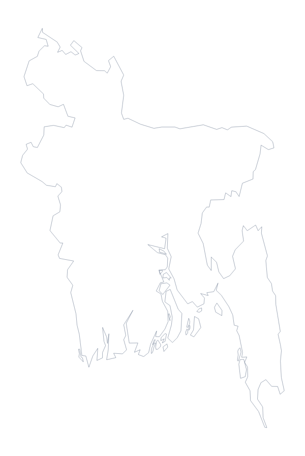
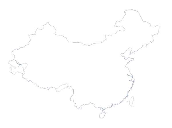
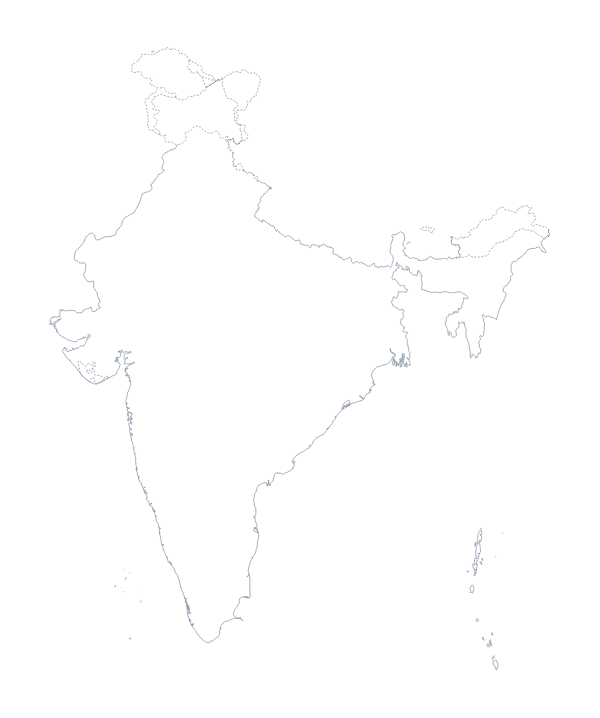
Maps of neighbouring places
Questions people ask
Is there a political blank map of Myanmar?
Yes. It is the With borders version, which draws the lines of the 14 administrative areas with no names on them. Pupils label each one from the list further down this page.
Does the blank map show the names of the administrative areas?
No. A blank map has no names, so the areas are left for you or your pupils to write in. To get a copy with names, choose Customise this map and switch the names on in the editor.
Can I open the SVG in Illustrator, Inkscape or Figma?
Yes. It is a vector file that opens in all three and scales without blurring, so you can recolour the 14 areas one by one or set the outline large behind a title.
Is this blank map of Myanmar free?
Yes. All the files are free to download, with no sign-up: the PNG, the SVG and the PDF on A4 or Letter, in each of the two versions.