Blank map of Belize
The outline, free as a PNG, SVG or PDF. Label it, colour it in or drop it into a slide.
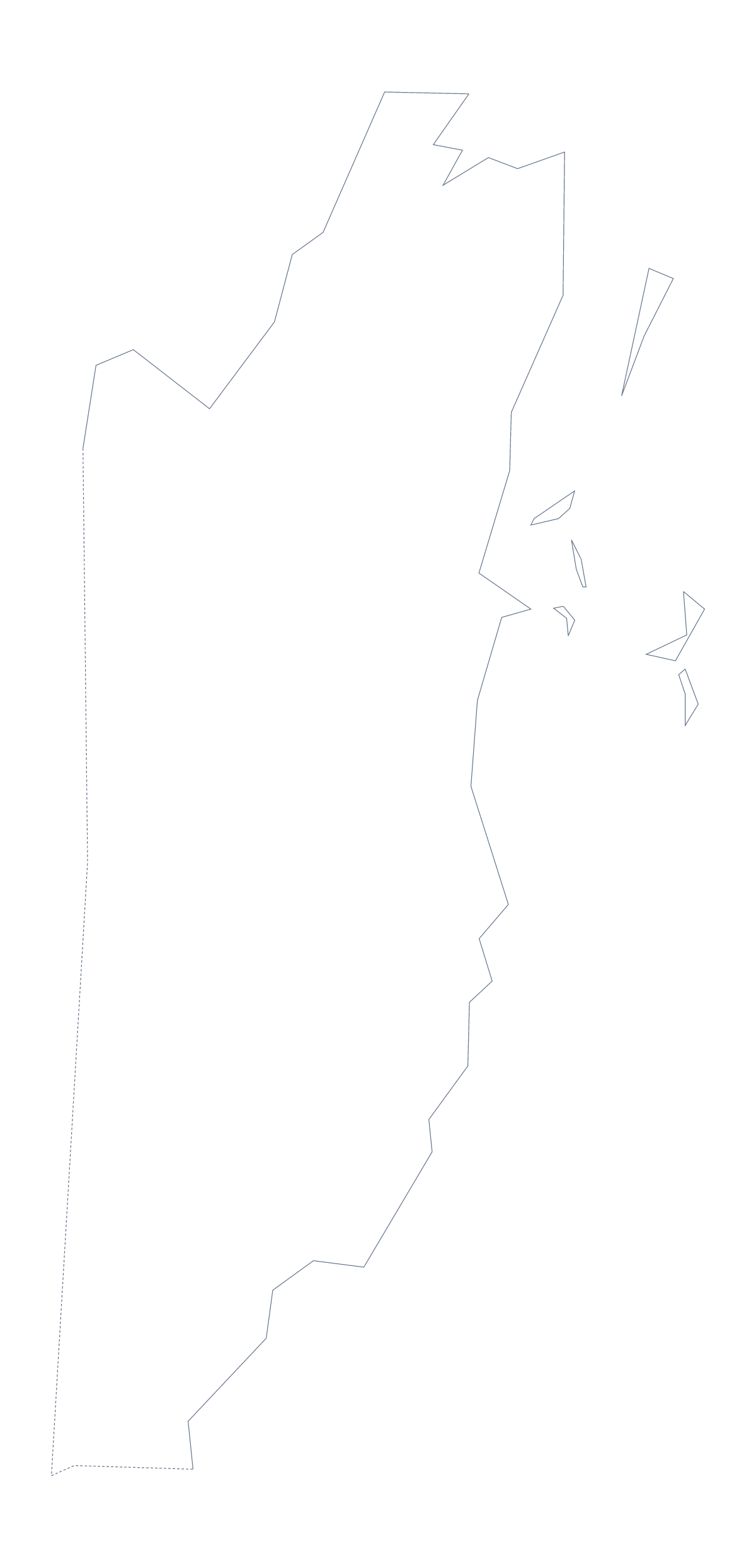
Using a blank map of Belize
Belize suits a page layout: six areas and a shape that fits neatly in a text box or the corner of a slide. A blank map of Belize gives you that shape as a file for a word processor, a slide or a design tool. Outline only is the country on its own, With borders adds its 6 administrative areas, and each version comes as a PNG, an SVG or a PDF.
In a document
Insert the PNG into a document and let your text run round it, for a country profile, a travel handout or a report page. The transparent PNG sits on a tinted page without a white box showing, and a caption under it keeps your sources in view.
In a slide
On a title slide, place With borders at one side and your heading at the other. Repeated in a corner of the later slides, the same PNG works as a locator, and the list further down this page gives the names of the 6 areas for your captions.
Version and file
The political blank map of Belize is the With borders version, the 6 areas without names. Outline only is better for tracing, a border design or a silhouette. Choose the SVG when you plan to scale the map up or restyle it, and the PDF when you need it printed as it is.
Guatemala and Mexico are not on this page. To bring them in as grey neighbours, choose Customise this map; the editor also adds names and a title. The printable map of Belize covers colour and black-and-white sheets.
How to do it in MapMaker
- Choose With borders for the 6 areas, or Outline only for the country alone.
- Pick PNG for a document or slide, SVG for a design tool or a PDF for A4 or Letter.
- Insert the file into your document or slide and add your own text beside it.
- Take the area names for your captions from the list on this page.
- Choose Customise this map to add neighbours, names or a title.
The 6 administrative areas on the map
A key for labelling the map by hand.
- Belize
- Cayo
- Corozal
- Orange Walk
- Stann Creek
- Toledo
Facts about Belize
Belize is in Central America. The capital is Belmopan. The population is about 390,000 (2019 estimate). Belize has an area of about 22,400 km². The largest cities are Belize City, Orange Walk, El Cayo, Belmopan and Dangriga. It borders Guatemala and Mexico. The map divides it into 6 administrative areas.
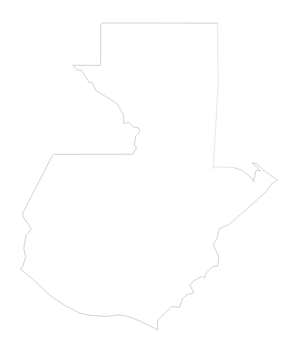
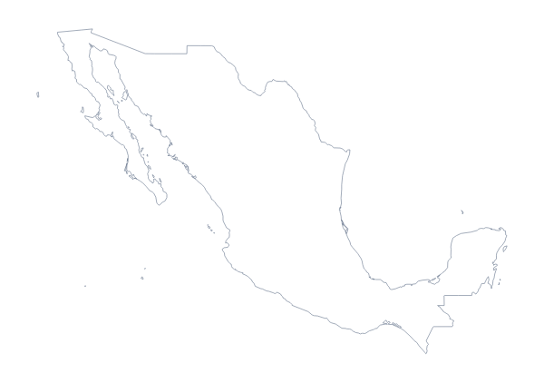
Maps of neighbouring places
Questions people ask
Is there a political blank map of Belize?
Yes. The With borders version draws the 6 administrative areas inside the outline, with no names, and is the political blank map of Belize. Outline only is the shape of the country alone.
Can I show the countries around Belize?
Not on this page, where the blank map does not change. Choose Customise this map and turn on Neighbours in the editor to see Guatemala and Mexico beside it, then download the result.
Is there an answer key for a labelling quiz?
Yes. The list of areas further down this page names all 6 that the With borders version draws, from Belize to Toledo. Number them in your own file and mark answers against the list.
Which file should I use in a worksheet, a slide or a design?
A PNG for a worksheet or slide, an SVG for Illustrator, Inkscape or Figma, and a PDF if you want the outline on A4 or Letter. The PNG is transparent, so it takes your background colour.