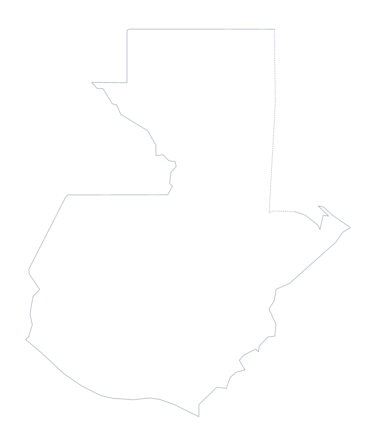
Blank map of Guatemala
The outline, free as a PNG, SVG or PDF. Label it, colour it in or drop it into a slide.
Using a blank map of Guatemala
Reports and worksheets about Guatemala often need the shape and nothing else, in a file that fits the tool. Outline only is the country with nothing inside, and With borders adds its 22 administrative areas. Each is a PNG, an SVG or a PDF, free.
In a word processor, a slide or a report
Place the With borders PNG on a page and add a text box over each area you want to name. In a word processor, that gives a labelled map in your own fonts. The transparent background means the shape takes the colour of the box it sits in, which helps in a handout with a shaded panel.
On a slide, use Outline only behind a title or a short list of figures; the map becomes a quiet background, and you can place a coloured shape over an area such as Petén to point to it.
Design in a vector tool
Open the SVG in Illustrator, Inkscape or Figma and the areas separate into shapes you can fill, outline or move. A designer might set Petén and Izabal off in a second colour, or thin the lines for a cover page. Because it is vector, the outline can scale to a banner without blurring.
Which version
The political blank map of Guatemala is With borders: the lines of 22 areas, no names. Outline only is the silhouette, better for a cover or for younger pupils. The PDF in A4 or Letter is the file to print as it stands; for black and white or colouring before you print, use the printable map of Guatemala. To shade the areas by figures, try the choropleth map of Guatemala.
How to do it in MapMaker
- Choose With borders for the 22 areas, or Outline only for the shape alone.
- Pick PNG for a document or slide, SVG for a design tool or PDF, A4 or PDF, Letter.
- Place the PNG on your page and add a text box over each area you want to label.
- Take the area names for your text boxes from the list on this page.
- Choose Customise this map when the map needs names, colours or a title.
The 22 administrative areas on the map
A key for labelling the map by hand.
- Alta Verapaz
- Baja Verapaz
- Chimaltenango
- Chiquimula
- El Progreso
- Escuintla
- Guatemala
- Huehuetenango
- Izabal
- Jalapa
- Jutiapa
- Petén
- Quetzaltenango
- Quiché
- Retalhuleu
- Sacatepéquez
- San Marcos
- Santa Rosa
- Sololá
- Suchitepéquez
- Totonicapán
- Zacapa
Facts about Guatemala
Guatemala is in Central America. The capital is Guatemala City. The population is about 17 million (2019 estimate). Guatemala has an area of about 109,000 km². The largest cities are Guatemala City, Quetzaltenango, El Progreso, San Luis and Escuintla. It borders Belize, El Salvador, Honduras and Mexico. The map divides it into 22 administrative areas.
Maps of neighbouring places
Questions people ask
Is there a political blank map of Guatemala?
Yes. With borders is the political blank map: the outline with the lines of its 22 administrative areas drawn in and no names on them.
Which file should I use in a worksheet, a slide or a design?
The PNG suits a worksheet or slide, since its background is transparent. The SVG is for Illustrator, Inkscape or Figma, and the PDF is for printing on A4 or Letter.
Does the blank map show the names of the areas?
No. Blank maps carry no names, which is the point. The list of areas on this page is a key, and Customise this map opens the editor if you want names shown.
Can I colour the map in before I download it?
Not on this page. Choose Customise this map to colour areas in the editor, or use the bar on the printable or editable page of Guatemala.