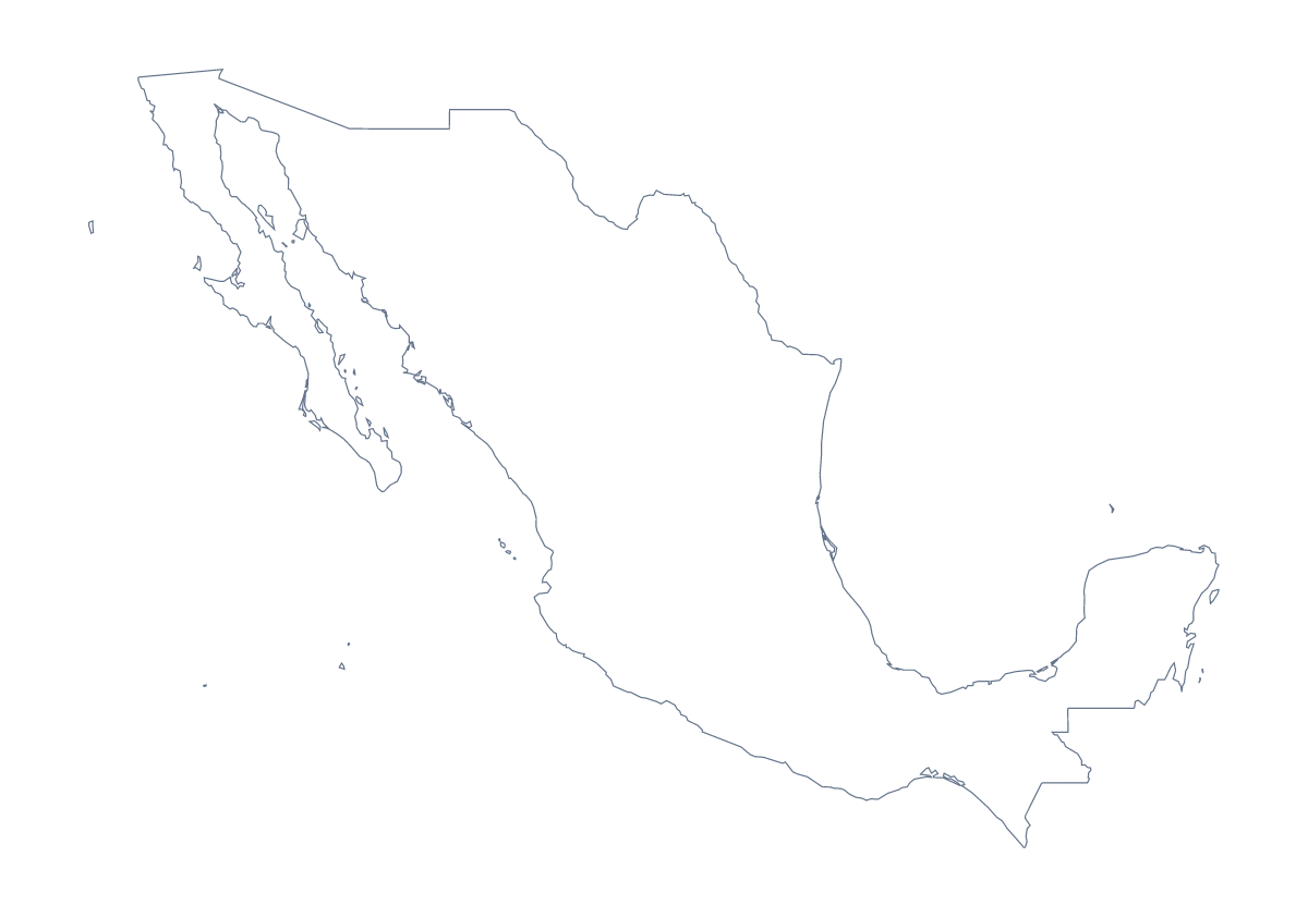
Blank map of Mexico
The outline, free as a PNG, SVG or PDF. Label it, colour it in or drop it into a slide.
Using a blank map of Mexico
A slide about Mexico, a report on its regions and a design that needs its shape all start from a blank file. Outline only is the country with nothing inside it, and With borders adds the 31 states and Mexico City. Each version comes as a PNG, an SVG or a PDF for A4 or Letter.
A market slide on your own background
Colour in your slide software rather than ours: place the transparent PNG of With borders on the slide, then draw coloured shapes over the states you want to highlight, such as Nuevo León, Jalisco and Quintana Roo. The slide's background shows through the PNG, so the map matches your template.
For a report cover, Outline only gives a quiet silhouette with no inner lines to compete with the title.
A set of states for a report
With 31 states and Mexico City, pick a set rather than the whole country. Fill the ten a section covers in your slide or design software and leave the rest in a pale tint, so the pattern shows without a label on every shape. The list on this page gives the spellings.
Design work
In Illustrator, Inkscape or Figma the SVG lets you restyle each state, give the map a heavier edge for a banner or trace it for an illustration, without losing sharpness.
Which version
The political blank map of Mexico is the With borders version: the state lines and no names. For the regions alone, the blank map of the Mexican states is the page. For print options, see the printable map of Mexico; for names or pins, choose Customise this map.
How to do it in MapMaker
- Pick With borders for the 31 states and Mexico City, or Outline only for the shape alone.
- Choose PNG for a slide or worksheet, SVG for a design tool or PDF, A4 or PDF, Letter.
- Place the PNG on your slide and resize it from a corner so Mexico keeps its proportions.
- Fill the states your page covers and check the spellings against the list on this page.
- Choose Customise this map when you need names, colours or a title.
The 31 states and Mexico City on the map
A key for labelling the map by hand.
- Aguascalientes
- Baja California
- Baja California Sur
- Campeche
- Chiapas
- Chihuahua
- Coahuila
- Colima
- Durango
- Guanajuato
- Guerrero
- Hidalgo
- Jalisco
- Mexico
- Michoacán
- Morelos
- Nayarit
- Nuevo León
- Oaxaca
- Puebla
- Querétaro
- Quintana Roo
- San Luis Potosí
- Sinaloa
- Sonora
- State of Mexico
- Tabasco
- Tamaulipas
- Tlaxcala
- Veracruz
- Yucatán
- Zacatecas
Facts about Mexico
Mexico is in Central America. The capital is Mexico City. The population is about 130 million (2019 estimate). Mexico has an area of about 1,960,000 km². The largest cities are Mexico City, Guadalajara, Monterrey, Puebla and Tijuana. It borders Belize, Guatemala and United States of America. The map divides it into 31 states and Mexico City.
Maps of neighbouring places
Questions people ask
Is there a political blank map of Mexico?
Yes. With borders is the political blank map of Mexico: the outline with the lines of the 31 states and Mexico City, and no names. Outline only is the shape alone.
Is there a blank map of Mexico's states on their own?
Yes. The blank map of the Mexican states draws the same 31 states and Mexico City as a set of their own. This page is for the country, with its outline and the same regions.
Can I open the SVG in Illustrator, Inkscape or Figma?
Yes. The SVG is a vector file, so the outline of Mexico and the lines between states stay sharp at any size and can be recoloured, thickened or traced.
Can I show the countries around Mexico?
Not on this page, which gives the outline only. Choose Customise this map and switch on Neighbours in the editor to draw the United States of America, Guatemala and Belize.