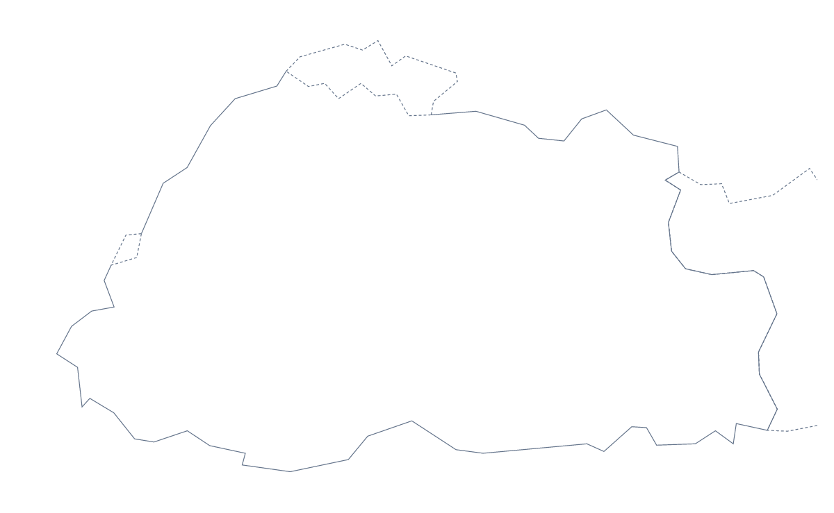
Blank map of Bhutan
The outline, free as a PNG, SVG or PDF. Label it, colour it in or drop it into a slide.
Using a blank map of Bhutan
Anyone building a revision pack on Bhutan, or a slide that needs the country's shape, can start here. Outline only is the shape on its own; With borders adds the lines between its 20 administrative areas. Both versions come as a PNG on a transparent background, an SVG and a PDF for A4 or Letter.
Flashcards and revision
A set of 20 areas makes a good deck of flashcards. Paste the With borders PNG into a template, number one area per card and write the name on the back. Short names such as Haa, Paro and Gasa suit the first round; longer ones such as Samdrup Jongkhar and Pemagatshel are better for the second. The list further down this page is the answer sheet.
Slides and covers
For a slide, put the PNG on your own background: the transparent PNG takes the colour behind it, so only the shape remains. For a travel brochure, a project cover or a poster, use the SVG in a design tool, fill the 20 areas with a palette of your own and keep the lines as thin or as thick as the layout needs.
The two versions
Choose Outline only for a silhouette or for tracing, and With borders, the political blank map of Bhutan, when areas matter. Either file can carry your own text, such as a caption or a heading, in the slide or document around it. If you want names printed or pins placed for you, Customise this map opens the editor. For paper choices, go to the printable map of Bhutan.
How to do it in MapMaker
- Choose With borders for the 20 areas, or Outline only for the shape alone.
- Download the PNG for a slide or card, the SVG for a design tool or a PDF for A4 or Letter.
- Place it in your template and number the areas you want named.
- Check answers against the list of areas lower down the page.
- For names or pins on the map, choose Customise this map.
The 20 administrative areas on the map
A key for labelling the map by hand.
- Bumthang
- Chukha
- Dagana
- Gasa
- Geylegphug
- Haa
- Lhuntse
- Mongar
- Paro
- Pemagatshel
- Punakha
- Samdrup Jongkhar
- Samtse
- Thimphu
- Trashigang
- Trashiyangtse
- Trongsa
- Tsirang
- Wangdue Phodrang
- Zhemgang
Facts about Bhutan
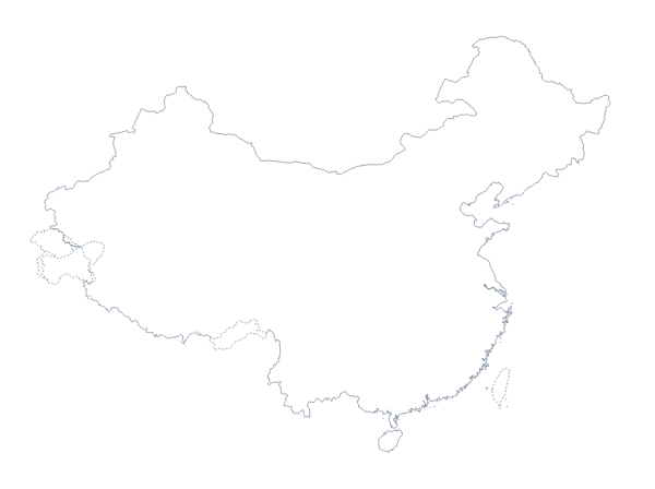
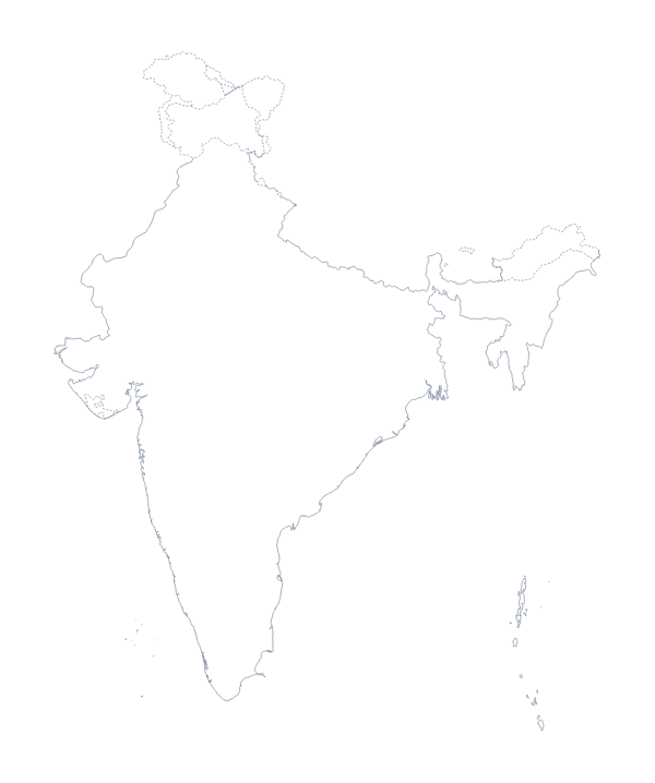
Bhutan is in Southern Asia. The capital is Thimphu. The population is about 760,000 (2019 estimate). Bhutan has an area of about 40,500 km². The largest cities are Thimphu, Paro, Punakha and Wangdue Prodrang. It borders China and India. The map divides it into 20 administrative areas.
Maps of neighbouring places
Questions people ask
Is there a political blank map of Bhutan?
Yes: it is the With borders version, which draws the 20 administrative areas with no names on them. Use the list of areas further down this page as the key.
Does the blank map show the names of the administrative areas?
No. A blank map has no names, so the 20 areas are left for you to label. To show names, choose Customise this map and switch them on in the editor.
Does the PNG have a transparent background?
Yes. Place the PNG over any colour or picture and only the shape of Bhutan is drawn, which works well on a tinted slide or a worksheet with its own header.
Which file should I use in a worksheet, a slide or a design?
A PNG for a worksheet or a slide, an SVG for Illustrator, Inkscape or Figma, and a PDF if you want the outline on A4 or Letter exactly as drawn.