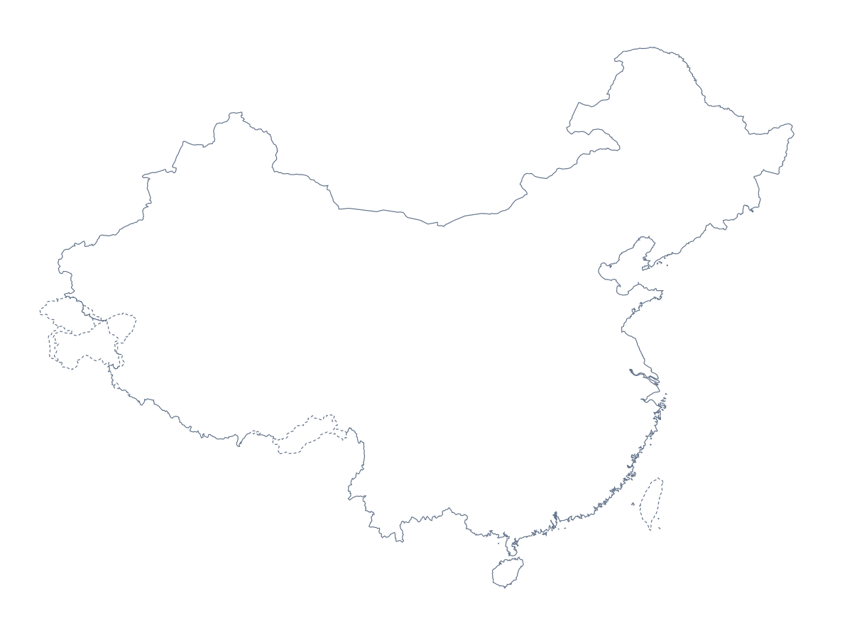
Blank map of China
The outline, free as a PNG, SVG or PDF. Label it, colour it in or drop it into a slide.
Using a blank map of China
A blank map of China is the starting point for something else: a worksheet a teacher is writing, a slide about a market, an infographic, a book cover. You can take Outline only, the country's shape with nothing inside, or With borders, which draws its 32 administrative areas. Each version comes as a PNG on a transparent background, an SVG and a PDF.
A lettered quiz and a shape starter
In your own worksheet, put the letters A to F on six areas of the With borders file and print a jumbled list of six names beside it, say Fujian, Guizhou, Jilin, Qinghai, Anhui and Tianjin. Pupils match each letter to a name, and the list further down this page settles any argument. For a lesson starter, show Outline only on the board with no title and ask the class which country it is and how they know.
Slides, infographics and covers
On a market or sourcing slide, put the PNG on the left and two or three figures on the right; the transparent background lets the slide's colour run behind the shape. In Illustrator, Inkscape or Figma, the SVG makes the base of an infographic: fill the areas that matter to your story, fade the rest and add your own labels. A book or report cover can use Outline only at a large size, since the vector file scales without blurring.
Which version, which file
Take With borders whenever the task is about the areas, and Outline only for a silhouette or a title slide. Use the PNG for documents and slides, the SVG for design work and the PDF to print on A4 or Letter at 100%. If you need the areas without the country's outline around them, the blank map of the Chinese provinces has them. For black and white or shading before printing, go to the printable map of China.
How to do it in MapMaker
- Pick Outline only for the shape of China, or With borders to include the 32 areas.
- Download the PNG for a slide or document, the SVG for a design tool or a PDF for A4 or Letter.
- Letter or number the areas in your own file and keep the list on this page as the answers.
- Choose Customise this map for names, colours or a title on the map, then download from the editor.
The 32 administrative areas on the map
A key for labelling the map by hand.
- Anhui
- Beijing
- Chongqing
- Fujian
- Gansu
- Guangdong
- Guangxi
- Guizhou
- Hainan
- Hebei
- Heilongjiang
- Henan
- Hubei
- Hunan
- Inner Mongolia
- Jiangsu
- Jiangxi
- Jilin
- Liaoning
- Ningxia
- Paracel Islands
- Qinghai
- Shaanxi
- Shandong
- Shanghai
- Shanxi
- Sichuan
- Tianjin
- Tibet
- Xinjiang
- Yunnan
- Zhejiang
Facts about China
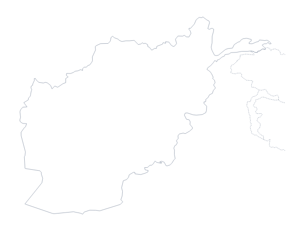
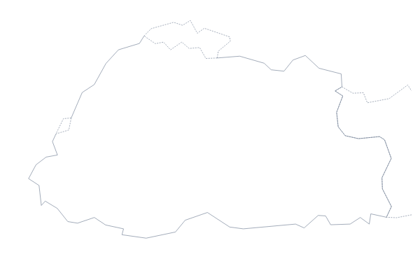
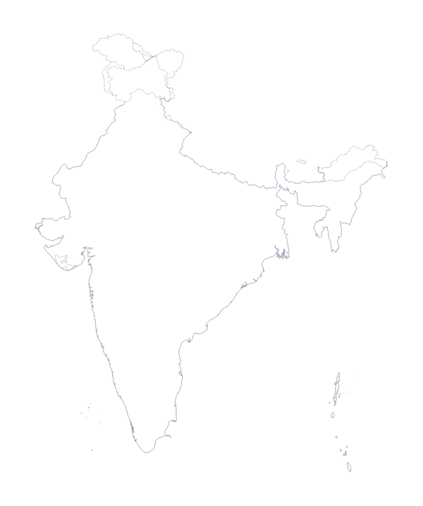
China is in Eastern Asia. The capital is Beijing. The population is about 1.4 billion (2019 estimate). The largest cities are Shanghai, Beijing, Guangzhou, Shenzhen and Wuhan. It borders Afghanistan, Bhutan, Hong Kong, India, Kazakhstan, Kyrgyzstan, Laos, Mongolia, Myanmar, Nepal, North Korea, Pakistan, Russia, Tajikistan and Vietnam. The map divides it into 32 administrative areas.
Maps of neighbouring places
Questions people ask
What is the difference between Outline only and With borders?
Outline only is the shape of China with no lines inside. With borders draws its 32 administrative areas as separate shapes, with no names, for labelling or colouring area by area.
Is there a blank map of China's administrative areas on its own?
Yes. The blank map of the Chinese provinces has the same 32 areas, with With borders as its first version. Use it when your worksheet is about the areas rather than the country as a whole.
Does the PNG have a transparent background?
Yes. Only the outline of China and, in the With borders version, its inner lines are drawn, so the PNG sits on a coloured slide or a shaded worksheet box with no white rectangle around it.
How do I add names, a title or my own colours?
Choose Customise this map. The same outline opens in the editor, where you can show the names of the areas, colour them, add a title on the Canvas tab and download a new PNG, SVG or PDF.