Blank map of Costa Rica
The outline, free as a PNG, SVG or PDF. Label it, colour it in or drop it into a slide.
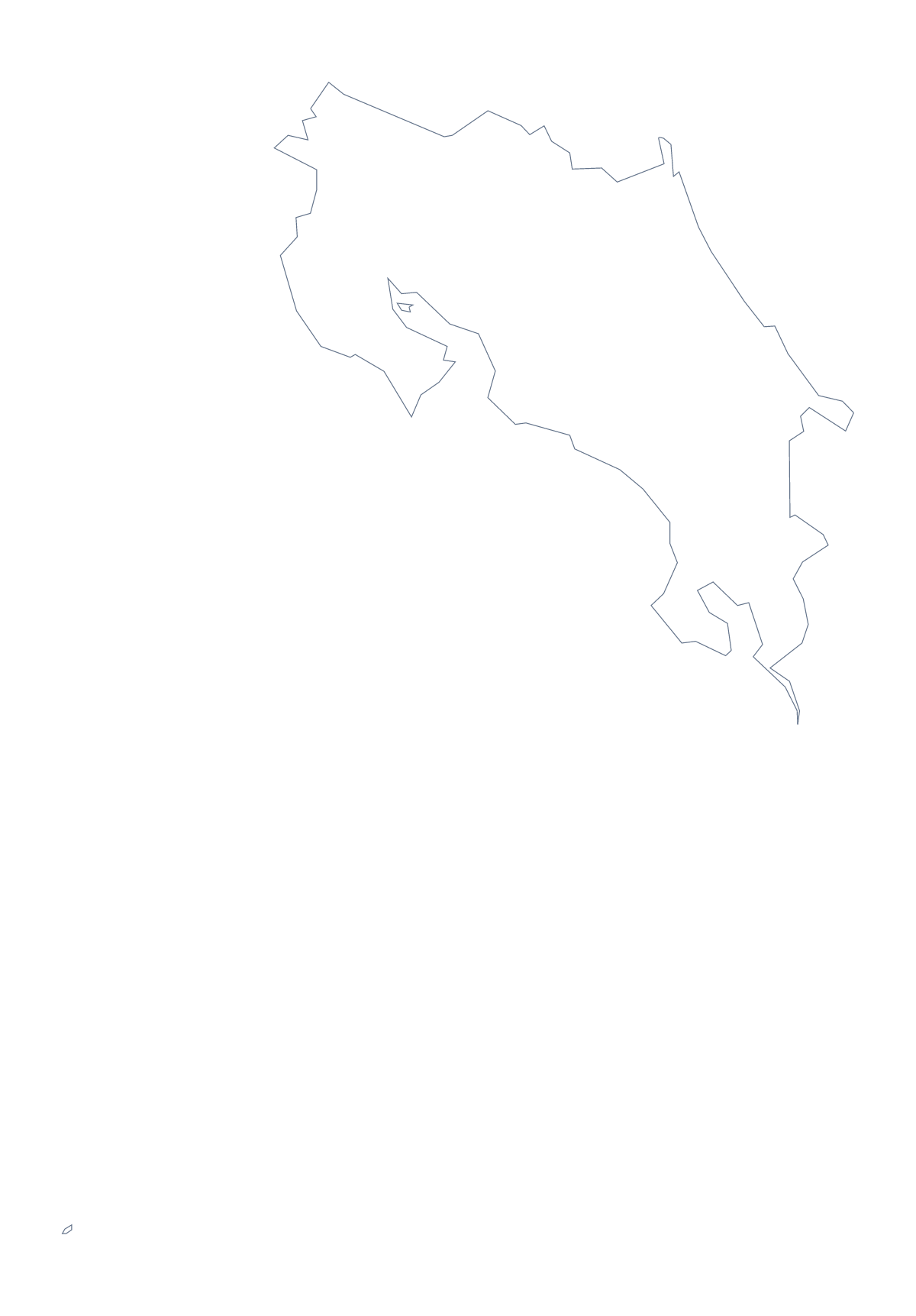
Using a blank map of Costa Rica
Start with the file you need. A PNG with a transparent background goes into a slide or a worksheet. An SVG goes to a design tool. A PDF goes to A4 or Letter. Costa Rica has two versions of each: Outline only, the country alone, and With borders, which adds its 7 administrative areas.
A presentation, one area at a time
Costa Rica works well in a presentation because there are only 7 areas to cover. Put the PNG of With borders on a slide and fill the area that section is about with the shape tools of your slide software, then repeat on the next slide with another area. The list further down this page gives the names for your captions.
Outline only is the version for a plain backdrop behind a title or a headline figure. Group the PNG with your title in the slide software and the two move together.
Design
In Illustrator, Inkscape or Figma, the SVG lets you change the weight of the outline, fill each area with a colour from your palette, or cut the shape out for a poster. The political blank map of Costa Rica is the With borders version; use Outline only for a silhouette or a header.
When the blank map is not enough
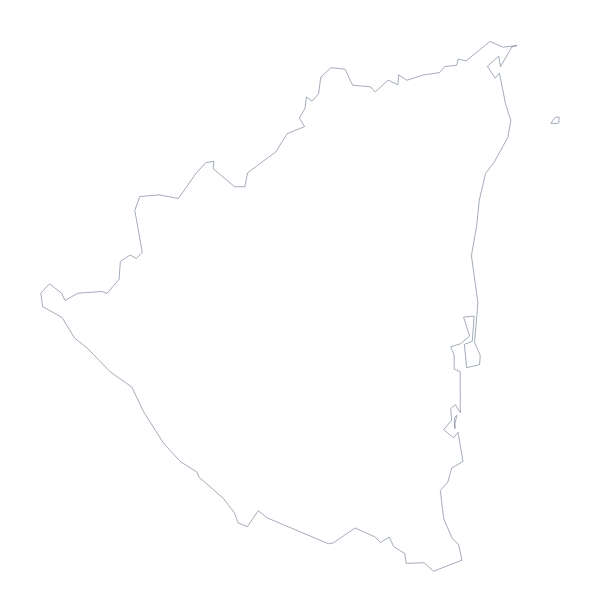
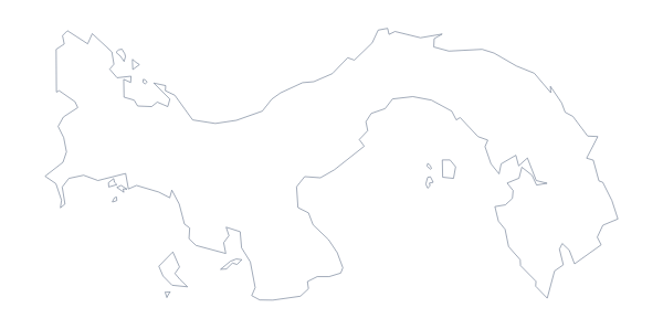
Names, colours, pins and a title are not on this page. Choose Customise this map to open the editor, where Neighbours can bring in Nicaragua and Panama. For print choices, black and white and class sets, go to the printable map of Costa Rica.
How to do it in MapMaker
- Choose With borders for the 7 administrative areas, or Outline only for the shape alone.
- Pick PNG for slides, SVG for design tools or PDF, A4 or PDF, Letter to print.
- Insert the PNG and fill the areas each slide is about.
- Take the names for your captions from the list of areas on this page.
- Choose Customise this map for names, colours or a title.
The 7 administrative areas on the map
A key for labelling the map by hand.
- Alajuela
- Cartago
- Guanacaste
- Heredia
- Limón
- Puntarenas
- San José
Facts about Costa Rica
Costa Rica is in Central America. The capital is San José. The population is about 5 million (2019 estimate). Costa Rica has an area of about 51,400 km². The largest cities are San José, Alajuela, Cartago, Limón and Puntarenas. It borders Nicaragua and Panama. The map divides it into 7 administrative areas.
Maps of neighbouring places
Questions people ask
What is the difference between Outline only and With borders?
Outline only is the shape of Costa Rica with nothing inside it. With borders adds the lines between the 7 administrative areas and is the political blank map. Neither version carries a name.
Does the blank map show the names of the areas?
No. Both versions are blank by design. The list of areas further down this page gives the names, so you can label the map in your own file and check it afterwards.
Can I open the SVG in Illustrator, Inkscape or Figma?
Yes. The SVG is a vector file, so the outline of Costa Rica and the lines between its areas open as editable shapes that you can recolour or scale as you like.
How is this different from the printable map of Costa Rica?
This page gives the shape as a file for your own worksheet, slide or design. The printable page has ready-made PDFs with a choice of paper and ink, and a bar to colour areas before printing.