Blank map of Nicaragua
The outline, free as a PNG, SVG or PDF. Label it, colour it in or drop it into a slide.
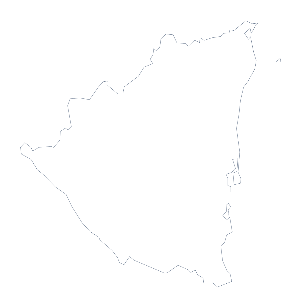
Using a blank map of Nicaragua
Anyone who needs the shape of Nicaragua as a file has a task of their own in mind: a document to write, a slide for a regional report, a poster for a Central America unit. Outline only gives the country with nothing inside it, and With borders adds its 17 administrative areas. Each comes as a PNG, an SVG or a PDF.
In a document
Place the With borders PNG in a report or a project folder and set your text round it: a section on Nicaragua for a Central America unit, a briefing page or a leaflet. The list further down this page gives the names for your captions.
On a slide or in a design
The transparent PNG sits straight on a title slide in your own colours, with room beside Nicaragua for a headline or a few figures. The SVG opens in Illustrator, Inkscape or Figma, where the outline can be traced for a cover, recoloured for a brand or scaled up for a banner without going soft. A cut-out silhouette from Outline only also makes a good template for a craft or display.
Which one to take
The political blank map of Nicaragua is the With borders version, and it suits a base for your own colour or captions. Outline only suits younger children, covers and anything where the inner lines would distract. Choose PNG for documents and slides, SVG for design tools and PDF for A4 or Letter. For a copy in black and white, use the printable map of Nicaragua; for names or colours, choose Customise this map.
How to do it in MapMaker
- Choose With borders to get the 17 administrative areas, or Outline only for a single shape.
- Download the PNG for a worksheet or slide, or the SVG if a design tool will take it from there.
- Place the file on your page and resize it from a corner so the proportions hold.
- Take the area names for your captions from the list further down this page.
- Choose Customise this map if you want names, colours or a title added before you download.
The 17 administrative areas on the map
A key for labelling the map by hand.
- Boaco
- Carazo
- Chinandega
- Chontales
- Estelí
- Granada
- Jinotega
- León
- Madriz
- Managua
- Masaya
- Matagalpa
- North Caribbean Coast
- Nueva Segovia
- Río San Juan
- Rivas
- South Caribbean Coast
Facts about Nicaragua
Nicaragua is in Central America. The capital is Managua. The population is about 6.5 million (2019 estimate). Nicaragua has an area of about 129,000 km². The largest cities are Managua, León, Chinandega, Masaya and Matagalpa. It borders Costa Rica and Honduras. The map divides it into 17 administrative areas.
Maps of neighbouring places
Questions people ask
Is there a political blank map of Nicaragua?
Yes: the With borders version, which draws the 17 administrative areas as separate shapes with no names. Outline only is the country's silhouette without any lines inside it.
Does the PNG have a transparent background?
Yes. Everything around Nicaragua is see-through, so the outline takes the colour of the slide, worksheet box or poster you place it on.
How many administrative areas does the blank map show?
The With borders version shows 17 administrative areas. The list further down this page names each of them, so it works as the key when you check a labelling exercise.
Can I show the countries around Nicaragua?
Not on this page, which shows the outline only. Choose Customise this map to open Nicaragua in the editor, where the Neighbours switch draws the countries around it in grey.