Blank map of Cyprus
The outline, free as a PNG, SVG or PDF. Label it, colour it in or drop it into a slide.
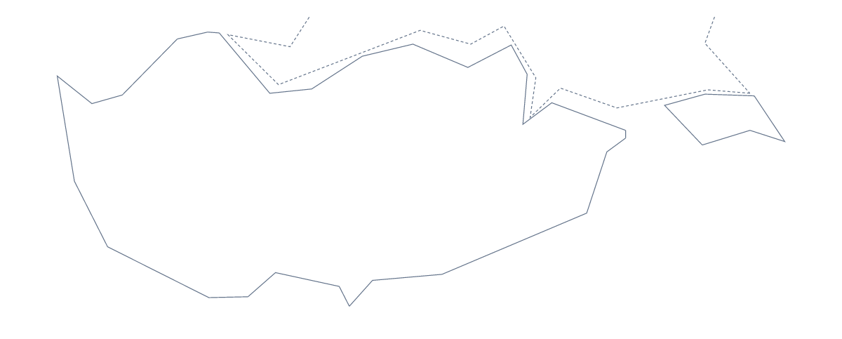
Using a blank map of Cyprus
A blank map of Cyprus gets used in two quite different ways. Teachers and pupils put it into worksheets and projects; couples, travel firms and designers put it onto invitations, brochures and artwork. This page has Outline only, the shape with nothing inside, and With borders, which draws its 5 administrative areas. Both come as a PNG on a transparent background, an SVG and a PDF.
Invitations, brochures and artwork
For a wedding or a party in Cyprus, the SVG of Outline only makes a neat motif on an invitation or a place card: open it in Illustrator, Inkscape or Figma, give it a thin gold stroke or a soft fill and set it beside the names and the date. A travel agency can put the PNG on a brochure page or a social post, where the transparent background lets the photograph or colour behind it show. Small businesses sometimes sketch a logo from the outline; the vector file keeps the line clean at any size.
A five-piece jigsaw
With borders has only five shapes, which makes a quick classroom jigsaw. Print the PDF on card, cut along the inner lines and give each group the pieces in an envelope. Groups put Cyprus back together and then write the name of each area on its piece, using the list further down this page. For a revision card, shrink the PNG into a corner of a page of notes and number the areas to match your headings.
Picking the version and the file
With borders draws the five areas and nothing else; take it when the areas are the point. Outline only is for designs, title slides and any task where inner lines would get in the way. The PNG is for documents and slides, the SVG for design tools, and the PDF prints at 100% on A4 or Letter. For black-and-white class sets, use the printable map of Cyprus. For names, pins or colours on the map itself, Customise this map opens the outline in the editor.
How to do it in MapMaker
- Choose Outline only for stationery and design, or With borders for the five areas.
- Take the SVG for Illustrator, Inkscape or Figma, the PNG for a slide or document, or a PDF for card.
- Style, cut or number the outline in your own file, with the list on this page as the key.
- If the map needs names, pins or colours of its own, choose Customise this map and download from the editor.
The 5 administrative areas on the map
A key for labelling the map by hand.
- Famagusta
- Larnaca
- Limassol
- Nicosia
- Paphos
Facts about Cyprus
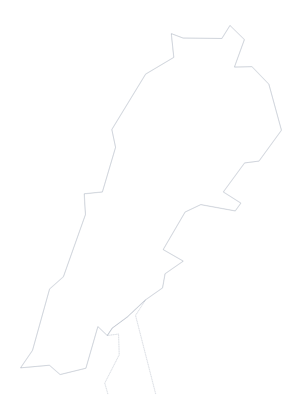
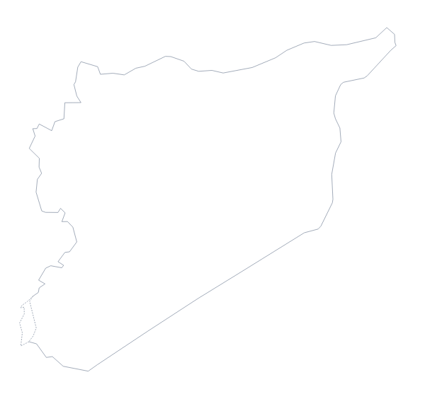
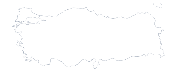
Cyprus is in Western Asia. The capital is Nicosia. The population is about 1.2 million (2019 estimate). The largest cities are Nicosia, Lemosos, Larnaka and Paphos. It borders Akrotiri Sovereign Base Area and Dhekelia Cantonment. Across the sea, its neighbours include Lebanon, Syria and Turkey. The map divides it into 5 administrative areas.
Maps of neighbouring places
Questions people ask
What is the difference between Outline only and With borders?
Outline only is the shape of Cyprus with no inner lines, which suits stationery, logos and title slides. With borders adds the lines of its 5 administrative areas for labelling, colouring or a jigsaw. Neither has names on it.
Can I open the SVG in Illustrator, Inkscape or Figma?
Yes. The SVG of Cyprus is a vector file and opens in all three. You can change the stroke, fill the shape with a colour or pattern, and scale it to any size without blurring.
How many administrative areas does the blank map show?
The With borders version shows 5 administrative areas, each as its own shape. Their names are listed further down this page as a key, since the map itself carries none.