Blank map of Turkey
The outline, free as a PNG, SVG or PDF. Label it, colour it in or drop it into a slide.
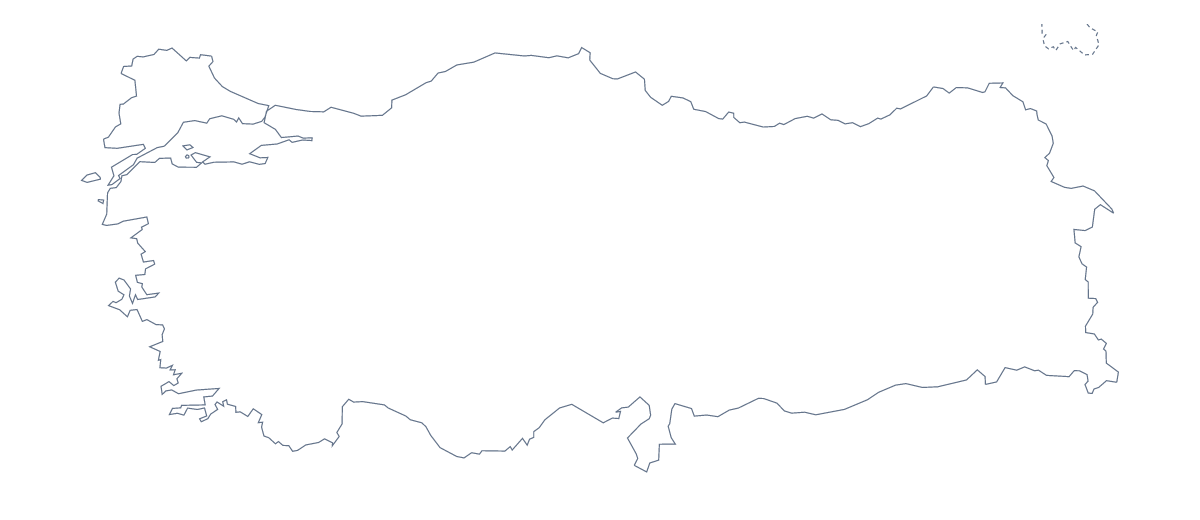
Using a blank map of Turkey
Someone building a market-entry slide, a geography worksheet or a poster of Turkey usually wants the shape and nothing else, so they can draw on it themselves. Two versions are on this page: Outline only, and With borders, which draws the 81 administrative areas inside the outline. Each comes as a PNG on a transparent background, an SVG and a PDF.
In a design tool
Open the SVG in Illustrator, Inkscape or Figma and fill the areas your story is about, leaving the rest in a pale grey. The outline scales to poster size without blurring. If you are tracing or cutting the shape for a craft or a display, Outline only is the simpler choice, because there are no inner lines to follow.
In a worksheet
With borders is the political blank map of Turkey: the areas drawn in, with no names. Number ten of them in your word processor, perhaps Kars, Muğla, Sinop, Hatay and Edirne among them, and keep the list further down this page as the answer sheet. For a younger class, use Outline only on the front of the worksheet pack: with no inner lines it reads as one clear shape.
Which file to take
Take the PNG for worksheets and slides: its transparent background takes the colour of the page it sits on. Take the PDF to print on A4 or Letter exactly as drawn; for choices about ink and class sets, the printable map of Turkey is the page to use. When you need names, colours or a title on the map itself, Customise this map opens the same outline in the editor.
How to do it in MapMaker
- Choose With borders to get the 81 administrative areas, or Outline only for the shape of Turkey on its own.
- Download the SVG for a design tool, or the PNG for a slide or worksheet.
- Open the file and fill in or number the areas you need, using the list on this page as your key.
- For names or colours on the map, choose Customise this map and download from the editor.
The 81 administrative areas on the map
A key for labelling the map by hand.
- Adana
- Adıyaman
- Afyonkarahisar
- Ağrı
- Aksaray
- Amasya
- Ankara
- Antalya
- Ardahan
- Artvin
- Aydın
- Balıkesir
- Bartın
- Batman
- Bayburt
- Bilecik
- Bingöl
- Bitlis
- Bolu
- Burdur
- Bursa
- Çanakkale
- Çankırı
- Çorum
- Denizli
- Diyarbakır
- Düzce
- Edirne
- Elazığ
- Erzincan
- Erzurum
- Eskişehir
- Gaziantep
- Giresun
- Gümüşhane
- Hakkâri
- Hatay
- Iğdır
- Isparta
- Istanbul
- İzmir
- Kahramanmaraş
- Karabük
- Karaman
- Kars
- Kastamonu
- Kayseri
- Kilis
- Kocaeli
- Konya
- Kütahya
- Kırklareli
- Kırşehir
- Kırıkkale
- Malatya
- Manisa
- Mardin
- Mersin
- Muğla
- Muş
- Nevşehir
- Niğde
- Ordu
- Osmaniye
- Rize
- Sakarya
- Samsun
- Şanlıurfa
- Siirt
- Sinop
- Sivas
- Şırnak
- Tekirdağ
- Tokat
- Trabzon
- Tunceli
- Uşak
- Van
- Yalova
- Yozgat
- Zonguldak
Facts about Turkey
Turkey is in Western Asia. The capital is Ankara. The population is about 83 million (2019 estimate). Turkey has an area of about 779,000 km². The largest cities are Istanbul, Ankara, İzmir, Bursa and Adana. It borders Armenia, Azerbaijan, Bulgaria, Georgia, Greece, Iran, Iraq and Syria. The map divides it into 81 administrative areas.
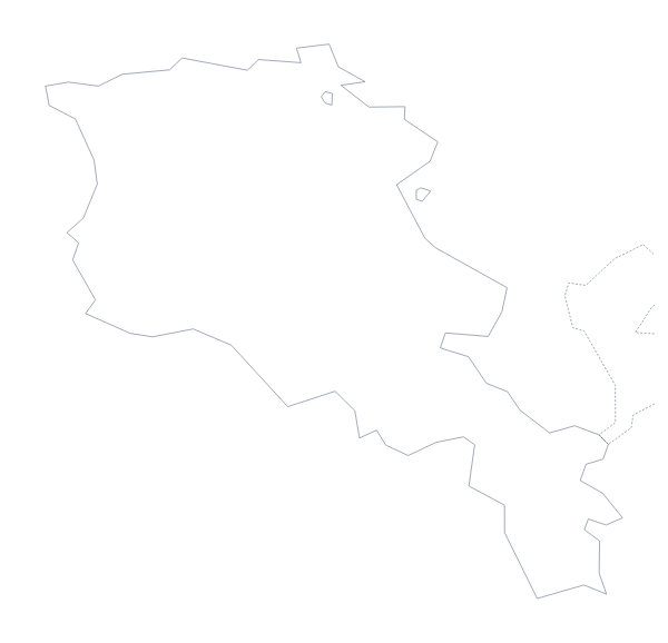
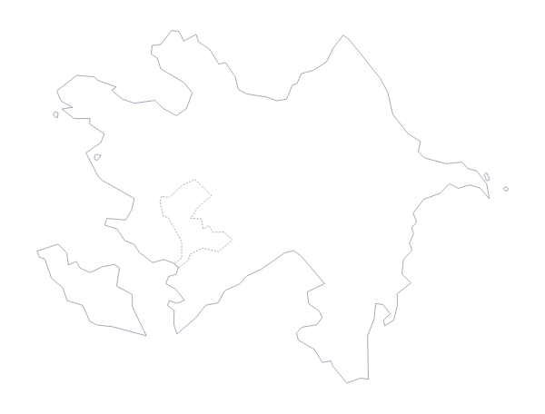
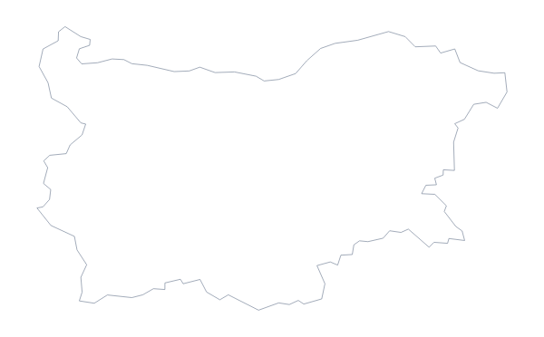
Maps of neighbouring places
Questions people ask
Is there a political blank map of Turkey?
Yes: it is the With borders version, which draws all 81 administrative areas with no names on them. Pupils can label them from the list further down this page.
Can I open the SVG of Turkey in Illustrator, Inkscape or Figma?
Yes. The SVG is a vector file, so it opens in all three, and its lines can be restyled or scaled up to poster size without blurring.
Can I show the countries around Turkey?
Not on this page, which draws Turkey alone. Choose Customise this map and switch on Neighbours in the editor to show Greece, Georgia, Iran and the other surrounding countries in grey.