Blank map of DACH
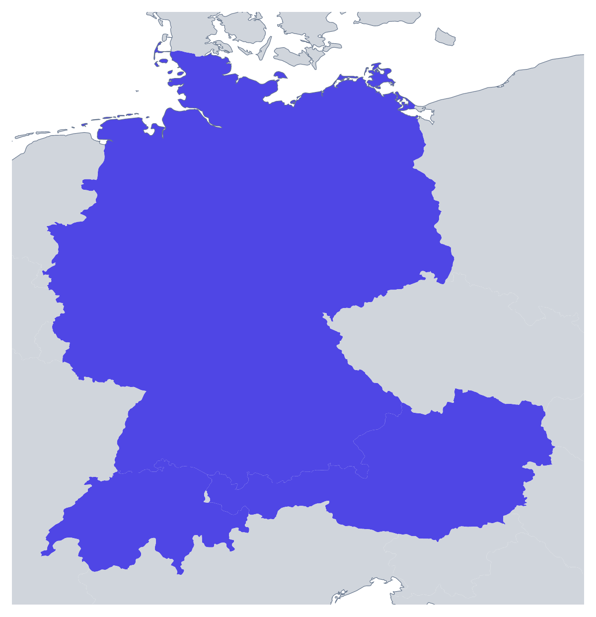
The outline, free as a PNG, SVG or PDF. Label it, colour it in or drop it into a slide.
Using a blank map of DACH
Slides about a three-country market, a flyer for an event across the region, a worksheet that asks for three names: all of them start with the outline. This page gives Austria, Germany and Switzerland as Outline only, one block of land, or With borders, with the three drawn apart. Each is a PNG on a transparent background, an SVG or a PDF.
On a slide
A sales or marketing team can set the With borders PNG on a slide and fill the countries in a drawing tool to match the brand, then add a short list of figures beside it. The map takes the slide's background, so a dark theme and a white one both work. Where a deck is full of text, a small outline in the corner keeps readers oriented without needing a full-size map.
On a flyer or a conference page
An event across the three countries can use the With borders PNG on a flyer, with a short line of text beside each country in your own layout. Left unmarked, it works as a plain header. The list further down this page gives the three names for spelling when you write them in.
For design
Open the SVG in Illustrator, Inkscape or Figma. With borders, each country is its own shape, so a designer can recolour one, thicken the lines for print or cut the shapes out for a display. Outline only works as a stamp or a simple icon when the three should read as one.
Choosing
With borders is the political blank map of DACH; Outline only is the better pick when the map is small or decorative. The PDF on A4 or Letter is for a copy printed as it is; for ink and paper choices, see the printable map of DACH. To colour countries and add a title without a design tool, use the editable map of DACH.
How to do it in MapMaker
- Choose With borders to draw the three countries apart, or Outline only for one shape.
- Download the PNG for a slide or worksheet, or the SVG for a design tool.
- Take PDF, A4 or PDF, Letter for a copy that goes straight to the printer.
- Choose Customise this map for names, colours or a title, then download from the editor.
The 3 members on the map
A key for labelling the map by hand.
- Austria
- Germany
- Switzerland
Facts about DACH
3 members are on the map. The members are Austria, Germany and Switzerland.
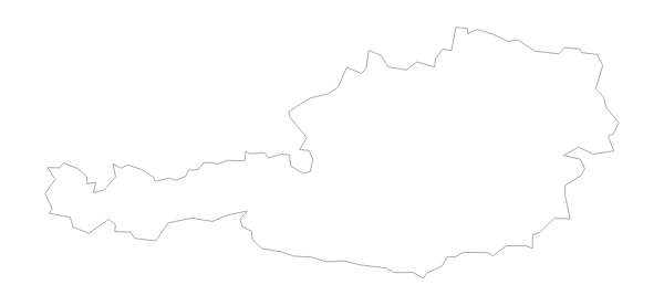
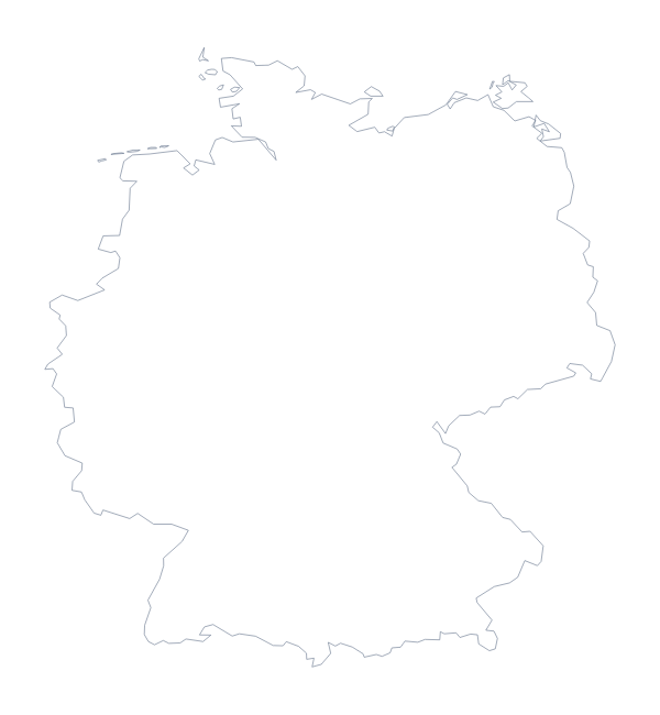
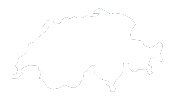
Maps of places in DACH
Questions people ask
Is there a political blank map of DACH?
Yes: the With borders version. It draws the borders between Austria, Germany and Switzerland and puts no names on them, so each country is a shape you can colour, number or label yourself.
Which file should I use in a slide?
The PNG. It has a transparent background, so the three countries sit on the colour of your slide without a white box. Use the SVG instead if a designer will restyle the shapes.
Can I make the outline bigger without it going blurry?
Yes, with the SVG. It is a vector file, so Austria, Germany and Switzerland stay sharp from a small icon to a large poster. The PDF is also vector.
Is there a blank map of Germany on its own?
Yes. Germany has a blank map of its own, and so do its states. This DACH page draws Austria, Germany and Switzerland together on one file.