Blank map of Djibouti
The outline, free as a PNG, SVG or PDF. Label it, colour it in or drop it into a slide.
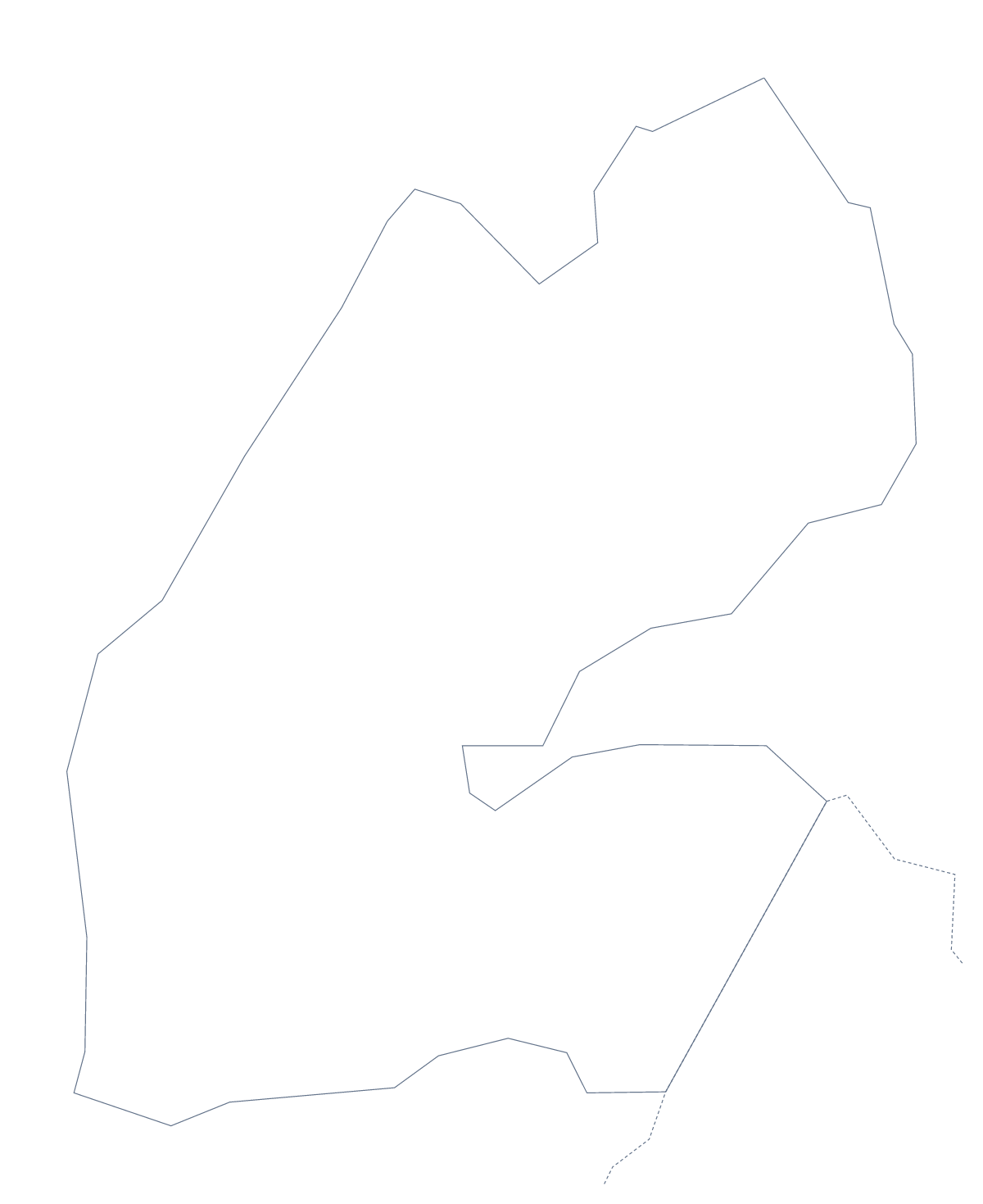
Using a blank map of Djibouti
Djibouti is a small shape, and this page supplies it in two versions: Outline only, and With borders, which draws the 6 administrative areas. Each is a PNG on a transparent background, an SVG and a PDF, free to download.
Using a small outline
A small shape suits a slide with space around it. Place the PNG at the left, a title above and three short lines beside it. The transparent background means a coloured or photographic slide shows right up to the edge of the outline. In a design tool, the SVG can be enlarged until the shape fills a page, and each of the six areas can be given its own fill.
Six shapes beside a table
For a report page or a slide, put the With borders PNG beside a table with a row for each of the six areas: Ali Sabieh, Arta, Dikhil, Djibouti, Obock and Tadjourah. The list further down this page gives the spellings.
For a simple cover or title page, the Outline only PNG in one colour, with the country name across the top, is enough.
Choosing
With borders is the political blank map of Djibouti, with areas drawn but not named. Pick Outline only when the lines inside would get in the way.
Files and the next step
PNG for slides and worksheets, SVG for design work, PDF for A4 or Letter. Customise this map opens the outline in the editor for names, a title or pins. For paper and ink choices, see the printable map of Djibouti.
How to do it in MapMaker
- Choose With borders to show the 6 administrative areas, or Outline only for the whole shape.
- Download the PNG for a slide or a worksheet, the SVG for a design tool or a PDF.
- Place the file with space around it and add a title.
- Add a table row for each of the six areas, spelling the names from the list further down.
- For names or pins on the map itself, choose Customise this map.
The 6 administrative areas on the map
A key for labelling the map by hand.
- Ali Sabieh
- Arta
- Dikhil
- Djibouti
- Obock
- Tadjourah
Facts about Djibouti
Djibouti is in Eastern Africa. The capital is Djibouti. The population is about 970,000 (2019 estimate). Djibouti has an area of about 21,900 km². The largest cities are Djibouti, Ali Sabih, Tadjoura, Obock and Dikhil. It borders Eritrea, Ethiopia and Somaliland. The map divides it into 6 administrative areas.
Maps of neighbouring places
Questions people ask
Does the blank map of Djibouti show the names of the areas?
No. A blank map has no names, so the six areas are left for you to label. To get a copy with names, choose Customise this map, turn names on in the editor and download from there.
Is there a political blank map of Djibouti?
Yes. It is the With borders version, which draws the 6 administrative areas and leaves them unnamed. The list on this page gives the names to check against.
Can I print the blank map?
Yes. Each version has a PDF for A4 or Letter, which prints at 100%. For paper and ink choices, go to the printable page.
Which file should I use for a slide?
The PNG. Its background is transparent, so the colour of the slide shows around the outline. For a design tool, take the SVG.