Blank map of Eritrea
The outline, free as a PNG, SVG or PDF. Label it, colour it in or drop it into a slide.
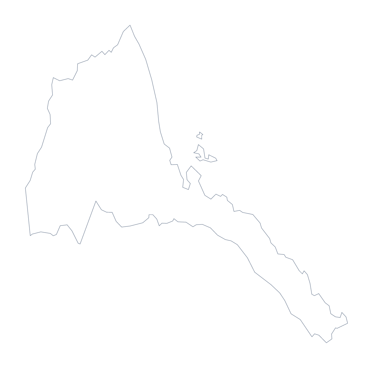
Using a blank map of Eritrea
A designer sketching a poster, a teacher writing a quiz and a manager preparing a slide all start from the same thing: the shape of Eritrea with nothing written on it. There are two versions, Outline only and With borders, which draws the 6 administrative areas. Each is a PNG, an SVG or a PDF.
A quiz on six areas
The political blank map of Eritrea is the With borders version. Number the areas in your own worksheet from 1 to 6 and ask pupils to name each one, then mark the answers from the list further down. Six items fit a short starter task with room to spare.
Younger pupils can colour Outline only in one shade and add the name of the country in large letters.
On a slide, in a design
Place the PNG over a photograph or a block of colour: its transparent background lets the slide show through, so the outline reads as a shape rather than a picture of a map. In Figma or Illustrator, the SVG lets you give each area its own fill, for example one colour for the two Red Sea areas and another for the rest. Because the file is vector, the same drawing works on a poster and a small icon-sized graphic.
More than the outline
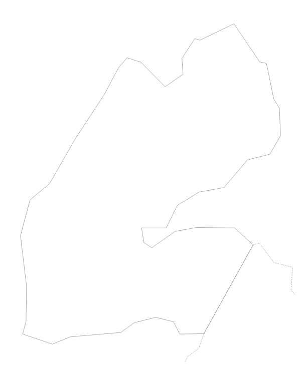
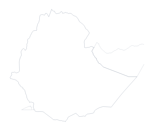
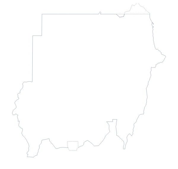
When you need names, pins or a title on the map itself, Customise this map opens the same outline in the editor. To see Djibouti, Ethiopia and Sudan around Eritrea, turn on Neighbours in the editor or on the editable map of Eritrea. The PDF prints on A4 or Letter at 100%.
How to do it in MapMaker
- Choose With borders for the 6 areas, or Outline only for the shape of Eritrea alone.
- Download the PNG for a slide or worksheet, the SVG for a design tool or the PDF for A4 or Letter.
- Place the file in your document and number the areas you want pupils to name.
- Check answers against the list of administrative areas further down this page.
- For names, cities or a title on the map, choose Customise this map.
The 6 administrative areas on the map
A key for labelling the map by hand.
- Anseba
- Debub
- Gash-Barka
- Maekel
- Northern Red Sea
- Southern Red Sea
Facts about Eritrea
Eritrea is in Eastern Africa. The capital is Asmara. The population is about 6.1 million (2020 estimate). Eritrea has an area of about 123,000 km². The largest cities are Asmara, Mendefera, Keren, Massawa and Assab. It borders Djibouti, Ethiopia and Sudan. The map divides it into 6 administrative areas.
Maps of neighbouring places
Questions people ask
Is there a political blank map of Eritrea?
Yes, it is the With borders version. It draws the 6 administrative areas with no names, so you can number them for a quiz and check answers against the list further down the page.
Does the PNG have a transparent background?
Yes. The PNG has no background colour of its own, so the outline of Eritrea takes whatever sits behind it: a coloured slide, a poster or a page of a report.
Can I open the SVG in Illustrator, Inkscape or Figma?
Yes. The SVG is a vector file, so each shape can be recoloured or restyled in a design tool, and Eritrea can be scaled up to poster size without blurring.