Blank map of Ecuador
The outline, free as a PNG, SVG or PDF. Label it, colour it in or drop it into a slide.
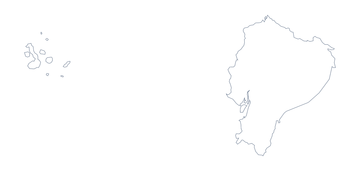
Using a blank map of Ecuador
The usual reason to want a blank map of Ecuador is a slide or a graphic that needs the shape and nothing more: a title slide, a handout cover, a section divider. Outline only is Ecuador with nothing inside it, and With borders adds its 24 administrative areas. Each comes as a PNG, an SVG or a PDF.
Behind a title or a few figures
The transparent PNG is the file for slides. Put your theme colour on the slide, drop the PNG on top and Ecuador takes that colour without a white box. There is room beside the shape for a heading or two or three figures, and the slide background template shows the idea in the editor. When the slide must be a particular size or style, use the SVG in a design tool.
Design and cutting
In Illustrator, Inkscape or Figma, Outline only gives you a single clean path to fill, stroke or trace, whether for a poster, a stencil or a badge. With borders suits a brand-coloured version where each area gets its own fill. Both scale up without blurring.
Which version
The political blank map of Ecuador is the With borders version, drawn with no names. It makes a base for a coloured slide: fill the areas a section covers and take their names for your captions from the list on this page. For colour, titles or names on the map itself, choose Customise this map, or see the printable map of Ecuador for PDF choices.
How to do it in MapMaker
- Choose With borders for the 24 administrative areas, or Outline only for the shape alone.
- Pick PNG for a slide or worksheet, SVG for a design tool or PDF, A4 or PDF, Letter.
- Place the PNG on your slide and drag a corner to resize it, so the proportions hold.
- Fill the areas your slide covers and take their names from the list on this page.
- Choose Customise this map for names, colours or a title.
The 24 administrative areas on the map
A key for labelling the map by hand.
- Azuay
- Bolívar
- Cañar
- Carchi
- Chimborazo
- Cotopaxi
- El Oro
- Esmeraldas
- Galápagos
- Guayas
- Imbabura
- Loja
- Los Ríos
- Manabí
- Morona-Santiago
- Napo
- Orellana
- Pastaza
- Pichincha
- Santa Elena
- Santo Domingo de los Tsáchilas
- Sucumbíos
- Tungurahua
- Zamora Chinchipe
Facts about Ecuador
Ecuador is in South America. The capital is Quito. The population is about 17 million (2019 estimate). Ecuador has an area of about 256,000 km². The largest cities are Guayaquil, Quito, Cuenca, Ambato and Portoviejo. It borders Colombia and Peru. The map divides it into 24 administrative areas.
Maps of neighbouring places
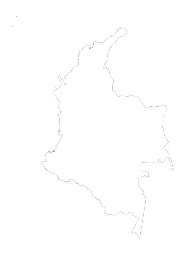
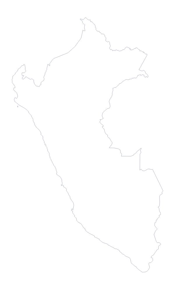
Questions people ask
Does the PNG have a transparent background?
Yes. Everything outside the outline is see-through, so Ecuador sits on whatever you place it on: a coloured slide, a tinted box in a worksheet or a poster background.
What is the difference between Outline only and With borders?
Outline only is the plain shape. With borders adds the lines between the 24 administrative areas of Ecuador, which makes it the political blank map. Neither version shows any names.
Is there an answer key for a labelling quiz?
Yes. The list of the 24 areas further down this page is the key. Number the ones you want pupils to find on the With borders version and mark their answers against it.
Can I open the SVG in Illustrator, Inkscape or Figma?
Yes. It is a vector file, so you can recolour the areas, thicken the lines or trace the outline in a design tool, and it stays sharp at any size.