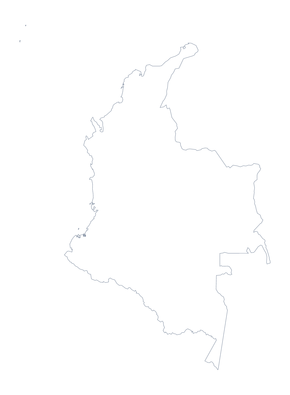
Blank map of Colombia
The outline, free as a PNG, SVG or PDF. Label it, colour it in or drop it into a slide.
Using a blank map of Colombia
Teachers, students and designers all end up needing the same thing from a blank map of Colombia: the shape as a file that fits their own document. Outline only gives the country with nothing inside it. With borders adds its 33 administrative areas. Each is available as a PNG, an SVG or a PDF.
What the lines do to your layout
With 33 areas drawn close together, the detail is delicate, and that decides which file to use. In a worksheet or slide the PNG is fine at the size you drop it in. For a poster or a banner, take the SVG or the PDF: they are vector files, so the area lines stay crisp at any size. If the lines look too busy for a cover or a logo sketch, switch to Outline only and keep the silhouette.
A base for your own figures
The political blank map of Colombia is the With borders version. With 33 areas it makes a good base under your own information: set the PNG on a slide, lighten it in your software, and put text boxes over the areas they belong to. The list on this page gives the names to use in them.
More than the outline
When the map needs names, colours, a title or the countries beside it, choose Customise this map. For ready-made sheets in colour or black and white, use the printable map of Colombia, and for the editable version with pins and a legend, the editable map of Colombia.
How to do it in MapMaker
- Choose With borders for the 33 administrative areas, or Outline only for the shape.
- Download the SVG or a PDF for a large or printed version, or the PNG for a worksheet or slide.
- Place the file on your page and scale it from a corner so the proportions hold.
- Take the area names for your text boxes from the list on this page.
- Choose Customise this map when you need names, colours or pins.
The 33 administrative areas on the map
A key for labelling the map by hand.
- Amazonas
- Antioquia
- Arauca
- Archipelago of Saint Andréws
- Atlántico
- Bogotá
- Bolívar
- Boyacá
- Caldas
- Caquetá
- Casanare
- Cauca
- Cesar
- Chocó
- Córdoba
- Cundinamarca
- Guainía
- Guaviare
- Huila
- La Guajira
- Magdalena
- Meta
- Nariño
- Norte de Santander
- Putumayo
- Quindío
- Risaralda
- Santander
- Sucre
- Tolima
- Valle del Cauca
- Vaupés
- Vichada
Facts about Colombia
Colombia is in South America. The capital is Bogota. The population is about 50 million (2019 estimate). Colombia has an area of about 1,140,000 km². The largest cities are Bogota, Medellín, Cali, Barranquilla and Bucaramanga. It borders Brazil, Ecuador, Panama, Peru and Venezuela. The map divides it into 33 administrative areas.
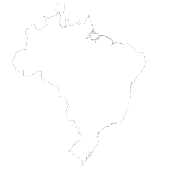
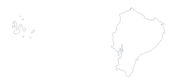
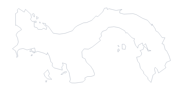
Maps of neighbouring places
Questions people ask
Is there a political blank map of Colombia?
Yes: the With borders version. It draws the 33 administrative areas inside the outline with no names on them. Outline only gives the plain shape of Colombia.
Can I make the outline bigger without it going blurry?
Yes, with the SVG or the PDF. Both are vector files, so the lines stay sharp at any size, which matters when 33 areas are drawn close together. The PNG is best at the size you place it.
Does the blank map show the names of the administrative areas?
No. A blank map has no names, by definition. The list of areas further down this page names every one, so you can use it as the key for a worksheet.
Can I show the countries around Colombia?
Not on this page. Choose Customise this map to open the outline in the editor, where the Neighbours switch greys in Brazil, Ecuador, Panama and the others around Colombia.