Blank map of El Salvador
The outline, free as a PNG, SVG or PDF. Label it, colour it in or drop it into a slide.
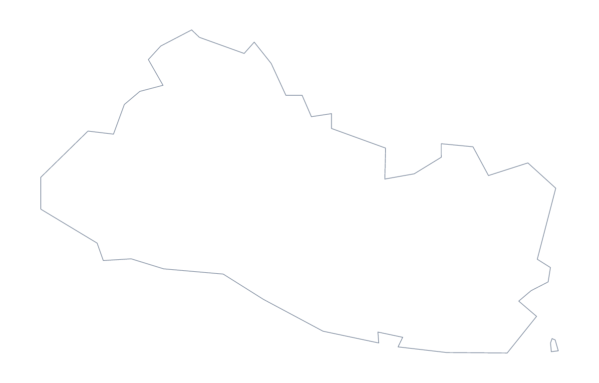
Using a blank map of El Salvador
Teachers who build their own worksheets, and people who need the shape of El Salvador on their own background, start from a file like this. Outline only is the country with nothing inside it, and With borders adds the 14 administrative areas. Each version is available as a PNG, an SVG or a PDF for A4 or Letter.
A page of your own
Open your own template and place the PNG of With borders at one side, then set your text in a column beside it: a report, a leaflet or a project page. Because the PNG is transparent, you can set it on a tinted box without a white rectangle behind the shape. The list of areas on this page gives the names for your headings.
Craft and display
The SVG suits a display. Trace the outline in Inkscape and set a heavy line for a banner, or print it large, cut it out in card and mount the areas in different colours. A designer can recolour the areas in a brand palette for a report cover.
Which version, which file
The political blank map of El Salvador is the With borders version: the area lines with no names. Choose Outline only for a silhouette. PNG is for worksheets and slides; SVG for Illustrator, Inkscape or Figma; PDF for A4 or Letter.
If you want to add names or pins, Customise this map opens the outline in the editor, and the printable map of El Salvador is the page for black and white copies.
How to do it in MapMaker
- Choose With borders for the 14 areas, or Outline only for the shape alone.
- Pick SVG for a design tool, PNG for a worksheet or PDF, A4 or PDF, Letter.
- Open your template and place the file, resizing it from a corner to keep the proportions.
- Take any area names for your text from the list on this page.
- Choose Customise this map for names, colours or a title.
The 14 administrative areas on the map
A key for labelling the map by hand.
- Ahuachapán
- Cabañas
- Chalatenango
- Cuscatlán
- La Libertad
- La Paz
- La Unión
- Morazán
- San Miguel
- San Salvador
- San Vicente
- Santa Ana
- Sonsonate
- Usulután
Facts about El Salvador
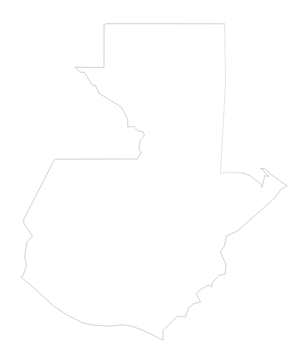
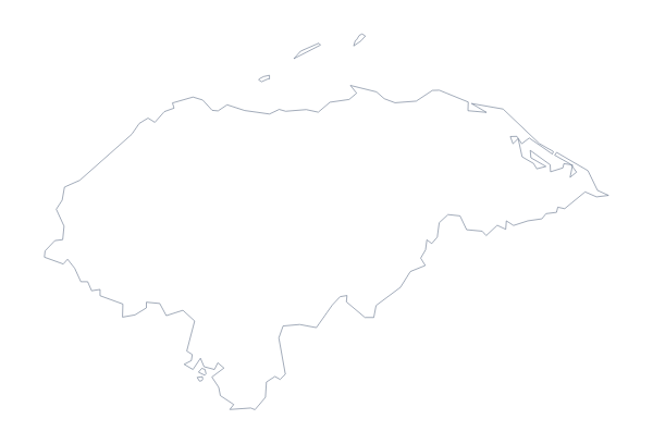
El Salvador is in Central America. The capital is San Salvador. The population is about 6.5 million (2019 estimate). El Salvador has an area of about 20,600 km². The largest cities are San Salvador, Santa Ana, San Miguel, Sonsonate and Nueva San Salvador. It borders Guatemala and Honduras. The map divides it into 14 administrative areas.
Maps of neighbouring places
Questions people ask
What is the difference between Outline only and With borders?
Outline only is the shape of El Salvador with nothing inside it. With borders adds the lines of its 14 administrative areas, which makes it the political blank map. Neither has names.
Can I make the outline bigger without it going blurry?
Yes, with the SVG. It is a vector file, so the outline of El Salvador and the area lines stay sharp at any size, from a handout to a banner.
Is there an answer key for a labelling quiz?
Yes. The list of 14 areas further down this page names every area that With borders draws. Number the ones you want and check pupils' answers against the list.
How is this different from the printable map of El Salvador?
This page gives you the outline as a file for your own worksheet, slide or design. The printable page has ready-made PDFs with a choice of ink and paper.