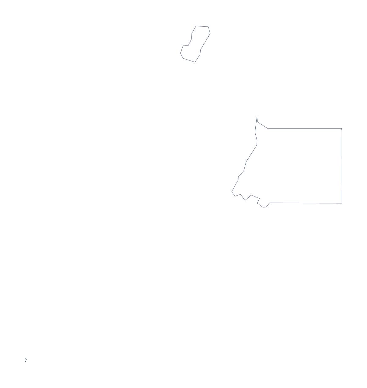
Blank map of Equatorial Guinea
The outline, free as a PNG, SVG or PDF. Label it, colour it in or drop it into a slide.
Using a blank map of Equatorial Guinea
Equatorial Guinea has 7 administrative areas, and that gives you a shape that is quick to label in your own materials. Take Outline only for the whole shape, or With borders for the area lines. Each version comes as a PNG on a transparent background, an SVG and a PDF.
A craft sheet and a table
For a classroom display, enlarge the PDF, trace the outline onto card and cut it out; pupils can then colour seven pieces, one per area, and fit them back together. Younger children can colour the outline alone and write the name across it. For a slide, the same seven shapes can sit beside a seven-row table, with the names taken from the list further down this page, from Annobón to Wele-Nzas.
On a slide or in a design
Place the PNG on a coloured slide: the transparent background lets the colour show around the shape. In a deck about Malabo and Bata, put the outline on one side and the two cities in a short list on the other. Designers can open the SVG in Figma or Illustrator and give each area its own fill for a regional view, or delete the lines for a one-colour shape.
Which version
With borders is the political blank map of Equatorial Guinea: areas drawn, nothing named. Outline only has none of the lines inside, which is better for tracing, cutting and silhouettes.
Files and next steps
PNG for slides and worksheets, SVG for design, PDF for A4 or Letter. For names, a title or the two neighbours on the map, choose Customise this map. To print with ink and paper options, use the printable map of Equatorial Guinea.
How to do it in MapMaker
- Choose With borders to show the 7 areas, or Outline only for the shape alone.
- Download the PNG for a slide, the SVG for a design tool or a PDF for A4 or Letter.
- Place the file and set a seven-row table beside it.
- Use the list further down this page to spell the area names.
- For names or colours on the map, choose Customise this map.
The 7 administrative areas on the map
A key for labelling the map by hand.
- Annobón
- Bioko Norte
- Bioko Sur
- Centro Sur
- Kié-Ntem
- Litoral
- Wele-Nzas
Facts about Equatorial Guinea
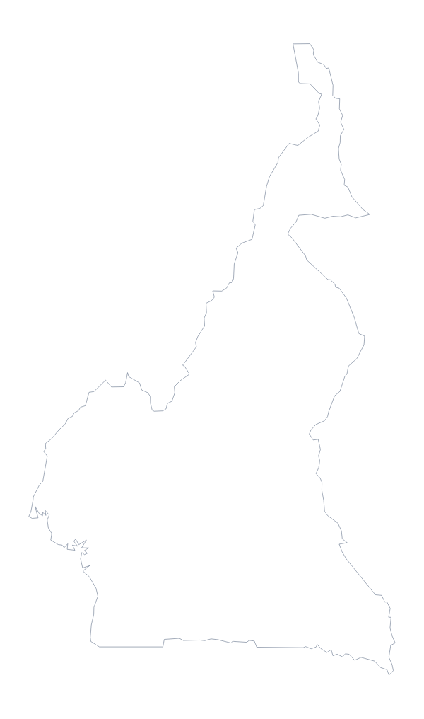
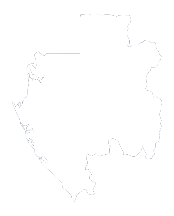
Equatorial Guinea is in Middle Africa. The capital is Malabo. The population is about 1.4 million (2019 estimate). Equatorial Guinea has an area of about 26,800 km². The largest cities are Bata, Malabo, Luba, Evinayong and Mongomo. It borders Cameroon and Gabon. The map divides it into 7 administrative areas.
Maps of neighbouring places
Questions people ask
What is the difference between Outline only and With borders?
Outline only is the shape of Equatorial Guinea with nothing inside it. With borders adds the lines of its 7 administrative areas. Neither has names, so you add the labels.
Is there a political blank map of Equatorial Guinea?
Yes. It is the With borders version: 7 administrative areas drawn and none named. The list on this page, from Annobón to Wele-Nzas, is the key.
Can I open the SVG in Illustrator or Figma?
Yes. The SVG is a vector file, so it opens in Illustrator, Inkscape and Figma, scales without blurring and lets you restyle each area line.
Can I colour the map in before I download it?
Not on this page, which does not change the map. Choose Customise this map to colour the areas in the editor, or use the bar on the editable page and download from there.