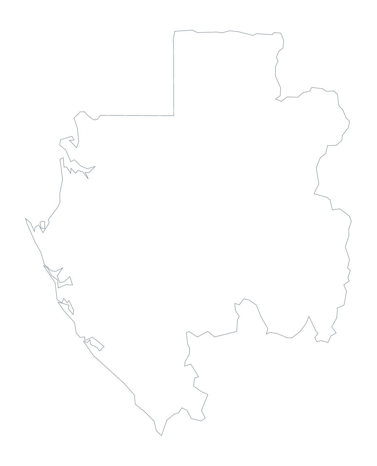
Blank map of Gabon
The outline, free as a PNG, SVG or PDF. Label it, colour it in or drop it into a slide.
Using a blank map of Gabon
The shape of Gabon is a small piece of artwork on its own, and this page gives it to you without labels. Outline only is the country with nothing inside. With borders adds its 9 administrative areas. Each version comes as a PNG, an SVG and a PDF.
In an infographic or a report
Put the PNG on a coloured panel in a report and let the transparent background do the work: only the outline shows, and a line of text or three figures can sit beside it. In Figma or Illustrator, With borders lets you shade Estuaire and Haut-Ogooué in a strong colour and leave the rest pale, which suits a slide about where a project is focused.
Captions and a key
For a poster or a handout, set a caption beside each area the page discusses and a short key under the map. Because several names share the word Ogooué, shading those areas in one family of colours and the rest pale shows the group at once. The list further down the page gives the spellings.
For a plain cover or title page, Outline only gives the shape alone, with room for a heading above it.
Choosing and going further
Take the SVG if you plan to restyle or enlarge, the PNG for documents and slides, and the PDF to print at 100% on A4 or Letter. When the map needs names, pins or a title, Customise this map opens the same outline in the editor, and the editable map of Gabon carries the buttons for colouring and pins.
How to do it in MapMaker
- Choose With borders for the 9 areas, or Outline only for the shape of Gabon alone.
- Download the PNG, the SVG or the PDF, depending on where the map is going.
- Place the file on your slide or sheet and add captions beside the areas you want shown.
- Use the list of administrative areas further down to spell the captions.
- For names, cities or a title on the map, choose Customise this map.
The 9 administrative areas on the map
A key for labelling the map by hand.
- Estuaire
- Haut-Ogooué
- Moyen-Ogooué
- Ngounié
- Nyanga
- Ogooué-Ivindo
- Ogooué-Lolo
- Ogooué-Maritime
- Woleu-Ntem
Facts about Gabon
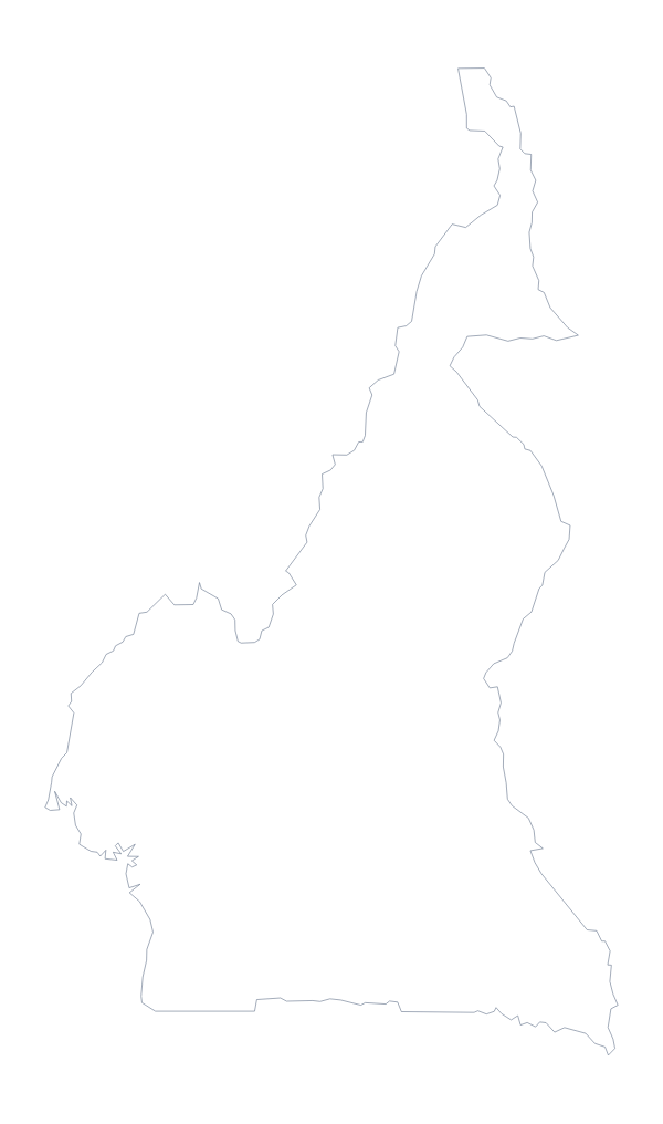
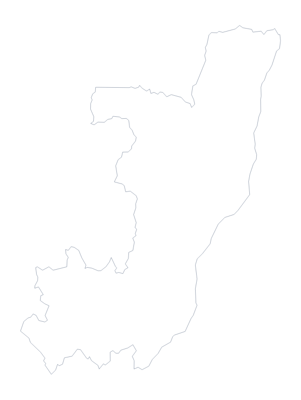
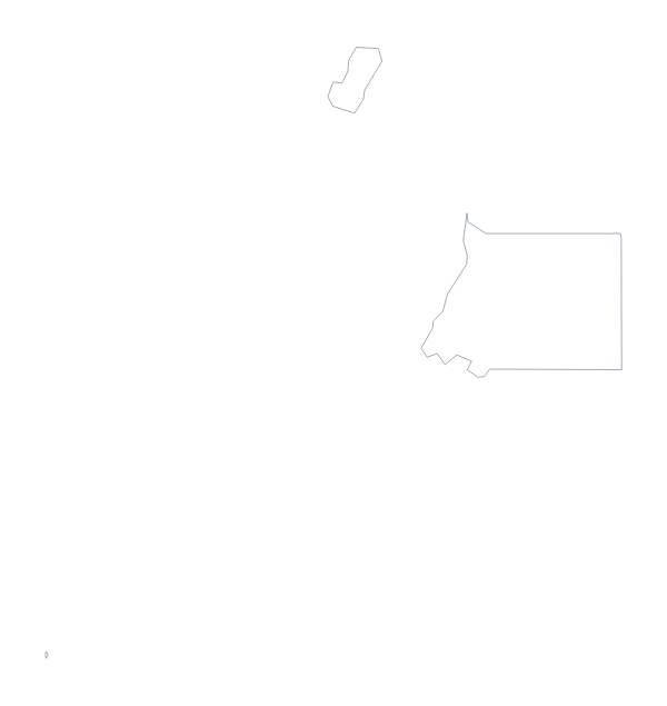
Gabon is in Middle Africa. The capital is Libreville. The population is about 2.2 million (2019 estimate). Gabon has an area of about 261,000 km². The largest cities are Libreville, Port-Gentil, Oyem, Franceville and Moanda. It borders Cameroon, Congo and Equatorial Guinea. The map divides it into 9 administrative areas.
Maps of neighbouring places
Questions people ask
Is there a political blank map of Gabon?
Yes, it is the With borders version. It draws the lines between all 9 administrative areas with no names on them, so you can add numbers or boxes and label each area yourself.
Does the blank map show the names of the administrative areas?
No, a blank map has no names. Use the list of the 9 areas on this page as a key, or choose Customise this map to show names in the editor and download a copy.
Can I open the SVG in Illustrator, Inkscape or Figma?
Yes. The SVG is a vector file, so each of Gabon's areas is a separate shape that you can fill, restyle or trace. It also scales up without blurring.