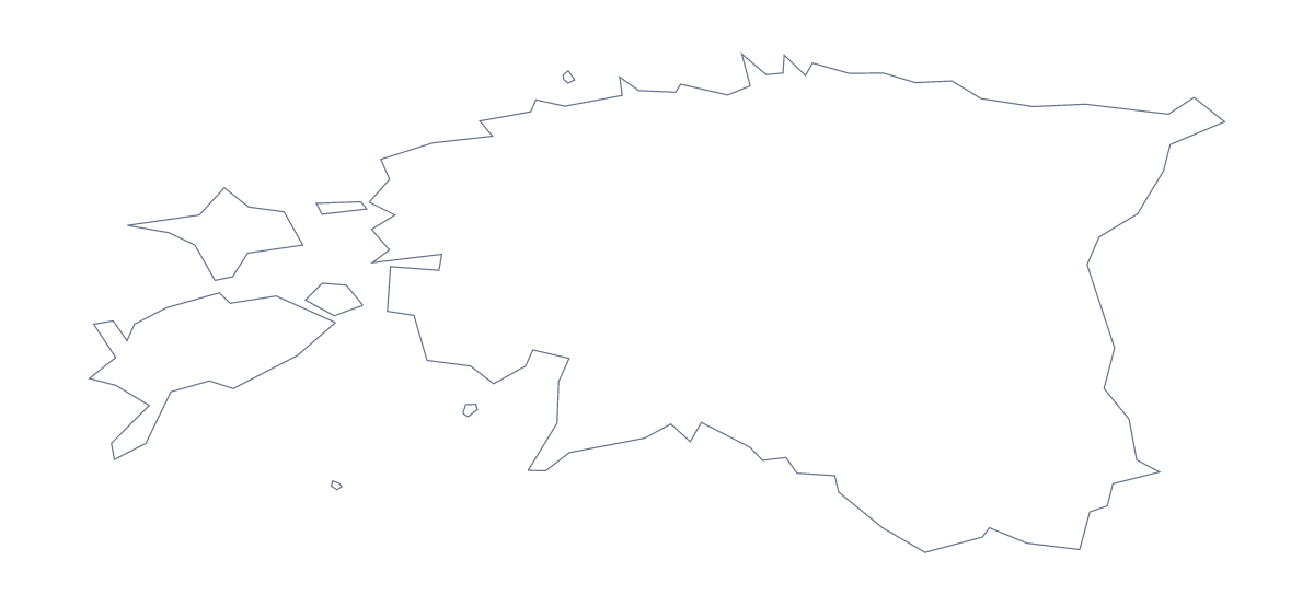
Blank map of Estonia
The outline, free as a PNG, SVG or PDF. Label it, colour it in or drop it into a slide.
Using a blank map of Estonia
A small business, a club or a school often wants the shape of Estonia for something it is making: a newsletter header, a flyer, a quiz, a display. This page gives you that shape as a file, as Outline only or With borders, which adds the 15 administrative areas. Each version is a PNG on a transparent background, an SVG and a PDF for A4 or Letter.
Headers, flyers and posters
Put the transparent PNG of Outline only behind a heading or beside a few lines of text, and your own colour shows through around the shape. A designer can open the SVG in Illustrator, Inkscape or Figma and give it a line weight or tint to match a brand. Because it is a vector, the same file serves a business card and a banner.
A labelling task on the areas
For a quiz, place the PNG of With borders in a worksheet and number five areas, perhaps Võru, Põlva, Valga, Jõgeva and Järva, with a box by each. Pupils write names from memory and mark themselves against the list further down this page. A shorter round needs only the Outline only PNG on a slide: show it with no title and ask which country it is.
Picking the version
The political blank map of Estonia is the With borders version. Choose Outline only for a silhouette and With borders whenever the areas matter. Use the PNG for documents and slides, the SVG for design tools and the PDF when you want the page printed at 100% on A4 or Letter.
For black and white, or a sheet coloured in before it is printed, see the printable map of Estonia. If the map needs names or pins, Customise this map opens the same outline in the editor.
How to do it in MapMaker
- Choose Outline only for a silhouette, or With borders for the 15 administrative areas.
- Download the PNG for a flyer or slide, the SVG to restyle in a design tool or a PDF for A4 or Letter.
- Drop the file into your own page and resize it from a corner.
- Number the areas you want pupils to name, and keep the list on this page as the key.
- Choose Customise this map when it needs names, pins or a title of its own.
The 15 administrative areas on the map
A key for labelling the map by hand.
- Harju
- Hiiu
- Ida-Viru
- Järva
- Jõgeva
- Lääne
- Lääne-Viru
- Pärnu
- Põlva
- Rapla
- Saare
- Tartu
- Valga
- Viljandi
- Võru
Facts about Estonia
Estonia is in Northern Europe. The capital is Tallinn. The population is about 1.3 million (2019 estimate). Estonia has an area of about 45,600 km². The largest cities are Tallinn, Tartu, Narva, Kohtla-Järve and Pärnu. It borders Latvia and Russia. The map divides it into 15 administrative areas.
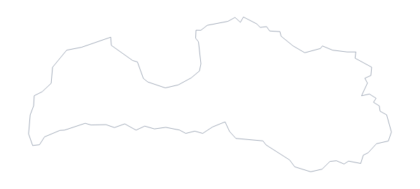
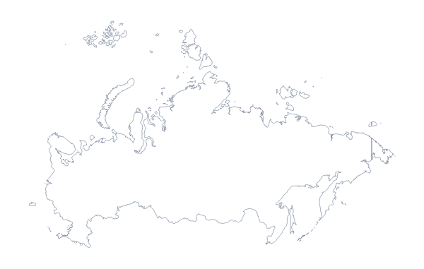
Maps of neighbouring places
Questions people ask
Is there a political blank map of Estonia?
Yes. With borders is the political blank map of Estonia: the 15 administrative areas drawn inside the outline, with no names. Outline only is the shape without any inner lines.
Can I open the SVG in Illustrator, Inkscape or Figma?
Yes. The SVG of Estonia is a vector file, so the outline and the area lines stay sharp at any size and can be recoloured, thickened or traced in a design tool.
Is there an answer key for a labelling quiz?
Yes. The list of 15 administrative areas further down this page names everything the With borders version draws. Number the ones you want pupils to find, and check their answers against it.
How is this different from the printable map of Estonia?
This page gives you the outline as a file for your own worksheet, slide or design. The printable page is about a sheet of paper: ready-made PDFs in colour or black and white, with a bar to colour areas first.