Blank map of Latvia
The outline, free as a PNG, SVG or PDF. Label it, colour it in or drop it into a slide.
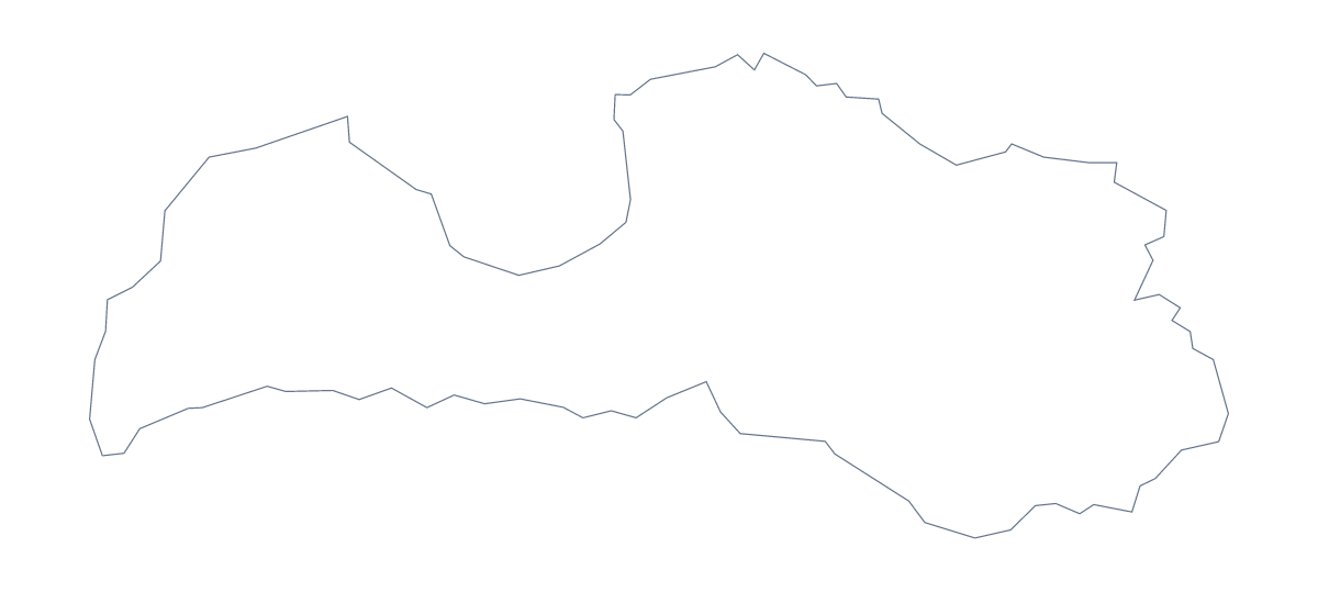
Using a blank map of Latvia
Latvia's blank map comes in two versions. Outline only is the country as one shape, handy for a cover or a silhouette, and With borders adds the 119 administrative areas inside it. Whichever you choose, you get a PNG on a transparent background, an SVG or a PDF for A4 or Letter.
An infographic or a report cover
Place the PNG of Outline only in a corner of a report cover and let the title run beside it. For an infographic, open the SVG in Illustrator, Inkscape or Figma and recolour the areas in groups, one colour per team or theme, with a key of your own. The lines stay sharp at any size, so the same file can go on a poster.
A labelling sheet in your own layout
Drop the With borders PNG into a worksheet and number only a few areas, since 119 shapes are small. Choose ones you want pupils to find, such as Jūrmala, Liepāja or Valmiera, and give each a box for its name. The list further down the page is the answer sheet. A shorter task needs only Outline only: show it on a slide with no title and ask which country it is, then reveal With borders.
Latvia and its neighbours
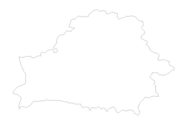
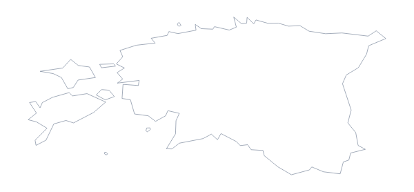
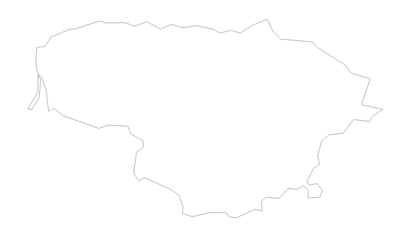
The fact sheet names Belarus, Estonia, Lithuania and Russia as neighbours. For a slide that sets two markets side by side, put the PNG next to the one from the blank map of Lithuania; both are transparent. To show neighbours on the map itself, or add names, use Customise this map.
How to do it in MapMaker
- Choose With borders for the 119 administrative areas, or Outline only for one plain shape.
- Download the SVG to restyle it in a design tool, or the PNG for a slide or worksheet.
- Number the areas you want named on your own layout.
- Mark answers against the list of areas further down this page.
- Choose Customise this map for names, pins or colours.
The 119 administrative areas on the map
A key for labelling the map by hand.
- Ādaži
- Aglona
- Aizkraukle
- Aizpute
- Aknīste
- Aloja
- Alsunga
- Alūksne
- Auce
- Babīte
- Baldone
- Baltinava
- Balvi
- Bauska
- Brocēni
- Carnikava
- Cēsis
- Cibla
- Dagda
- Daugavpils
- Daugavpils
- Dobele
- Dundaga
- Durbe
- Engure
- Garkalne
- Grobiņa
- Gulbene
- Iecava
- Ikskile
- Ilūkste
- Inčukalns
- Jaunjelgava
- Jaunpils
- Jēkabpils
- Jēkabpils
- Jelgava
- Jelgava
- Jūrmala
- Kandava
- Kārsava
- Ķegums
- Ķekava
- Koknese
- Krāslava
- Krimulda
- Krustpils
- Kuldīga
- Lielvārde
- Liepāja
- Limbaži
- Līvāni
- Ludza
- Madona
- Mālpils
- Mārupe
- Mērsrags
- Nereta
- Nīca
- Ogre
- Olaine
- Ozolnieki
- Pāvilosta
- Pļaviņas
- Preiļi
- Priekule
- Rēzekne
- Rēzekne
- Riebiņi
- Riga
- Roja
- Ropaži
- Rucava
- Rugāji
- Rundāle
- Sala
- Salacgrīva
- Salaspils
- Saldus
- Saulkrasti
- Sēja
- Sigulda
- Skrīveri
- Skrunda
- Stopiņi
- Talsi
- Tērvete
- Tukums
- Vaiņode
- Valka
- Valmiera
- Valmiera
- Valmiera
- Valmiera
- Valmiera
- Valmiera
- Valmiera
- Valmiera
- Valmiera
- Valmiera
- Valmiera
- Valmiera
- Valmiera
- Valmiera
- Valmiera
- Valmiera
- Valmiera
- Valmiera
- Valmiera
- Valmiera
- Valmiera
- Vārkava
- Vecumnieki
- Ventspils
- Ventspils
- Viesīte
- Viļaka
- Viļāni
- Zilupe
Facts about Latvia
Latvia is in Northern Europe. The capital is Riga. The population is about 1.9 million (2019 estimate). Latvia has an area of about 64,300 km². The largest cities are Riga, Daugavpils, Liepaga, Jelgava and Ventspils. It borders Belarus, Estonia, Lithuania and Russia. The map divides it into 119 administrative areas.
Maps of neighbouring places
Questions people ask
How many areas does the blank map of Latvia show?
The With borders version draws 119 administrative areas, with no names. Outline only draws the country as one shape. The list further down this page names every area and acts as a key.
Can I open the SVG in Illustrator, Inkscape or Figma?
Yes. Open it in any of them and set your own line weight and colours; because it is a vector file, you can enlarge Latvia for a poster with no loss of sharpness.
Does the PNG have a transparent background?
Yes. Nothing surrounds Latvia but transparency, so the map takes the colour of your slide or page, whichever you place it on.
Is there a political blank map of Latvia?
Yes: With borders is the political blank map of Latvia, with the 119 administrative areas drawn and no names, ready for a labelling task or a colouring exercise.