Blank map of Eswatini
The outline, free as a PNG, SVG or PDF. Label it, colour it in or drop it into a slide.
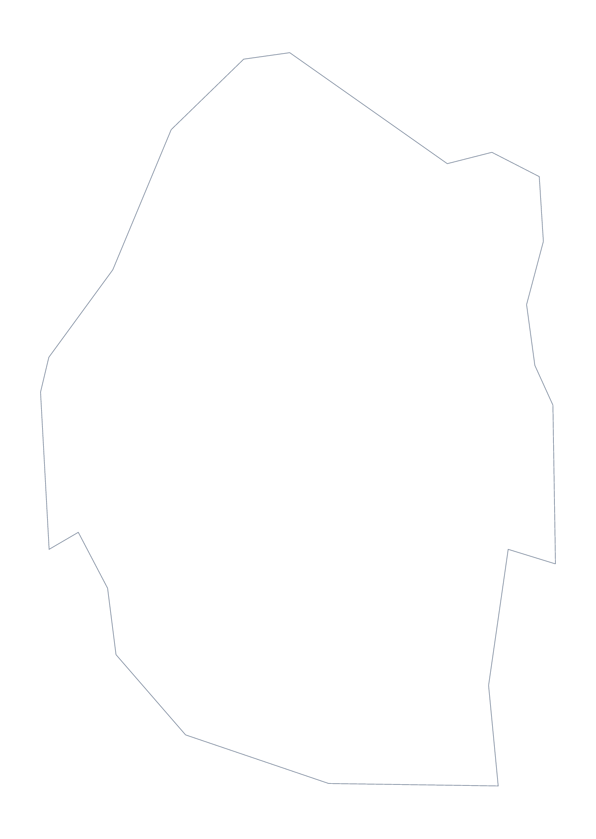
Using a blank map of Eswatini
Eswatini is a compact shape, which makes it a handy one to drop into other work: a worksheet, a conference slide, a craft project. This page gives the outline as Outline only or With borders, which draws its 4 administrative areas, in three file types: PNG, SVG and PDF.
Making the shape your own
A single outline reads like a stamp or a logo mark. Open the SVG in Inkscape, Illustrator or Figma and fill it in one brand colour, set it beside a line of text on a report cover or trace it for a cut-out. With so few inner lines, With borders also stays tidy when it is shrunk.
On a slide, use the PNG. Its transparent background lets a colour or a photograph show through, so the shape sits on the slide without a white box behind it.
A summary slide and a template
With borders gives four pieces, few enough for a one-slide summary: put the PNG beside four short lines of text, one each for Hhohho, Lubombo, Manzini and Shiselweni, and take the spellings from the list further down.
For a class display, the Outline only PNG can be enlarged on a slide, traced onto card and cut out as a template.
Which file
PNG for worksheets and slides, SVG for design tools or for scaling up, and PDF when you want the outline on A4 or Letter at 100%. For print choices such as black and white, see the printable map of Eswatini. To add names, pins or a title, choose Customise this map.
How to do it in MapMaker
- Choose With borders for the 4 areas, or Outline only for the shape alone.
- Download the PNG for a slide, the SVG for a design tool or the PDF for A4 or Letter.
- Drop the file into your page and set a line of text beside each area you want to describe.
- Spell the area names from the list of administrative areas further down.
- For names or pins, choose Customise this map and download from the editor.
The 4 administrative areas on the map
A key for labelling the map by hand.
- Hhohho
- Lubombo
- Manzini
- Shiselweni
Facts about Eswatini
Eswatini is in Southern Africa. The capital is Mbabane. The population is about 1.1 million (2019 estimate). Eswatini has an area of about 17,100 km². The largest cities are Manzini, Mbabane, Lobamba, Siteki and Piggs Peak. It borders Mozambique and South Africa. The map divides it into 4 administrative areas.
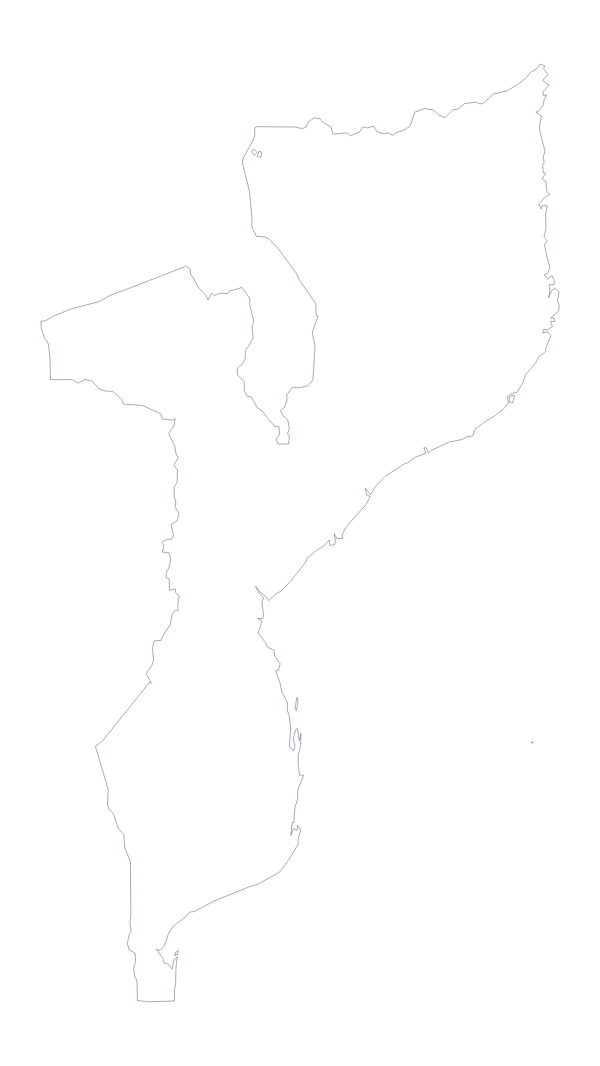
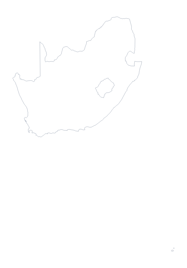
Maps of neighbouring places
Questions people ask
What is the difference between Outline only and With borders?
Outline only is the shape of Eswatini with nothing inside it. With borders adds the lines between its 4 administrative areas, which is the version to take for a labelling task.
Is there a political blank map of Eswatini?
Yes, it is the With borders version. It draws Hhohho, Lubombo, Manzini and Shiselweni as four shapes with no names on them, ready for you to label.
Can I make the outline bigger without it going blurry?
Yes, take the SVG or the PDF. Both are vector files, so the lines of Eswatini stay sharp whether it fills an icon or a poster. The PNG is for ordinary worksheets and slides.
Can I show the countries around Eswatini?
Not on this page, which shows the outline only. Choose Customise this map and switch on Neighbours in the editor to draw Mozambique and South Africa around it, then download from there.