Blank map of Mozambique
The outline, free as a PNG, SVG or PDF. Label it, colour it in or drop it into a slide.
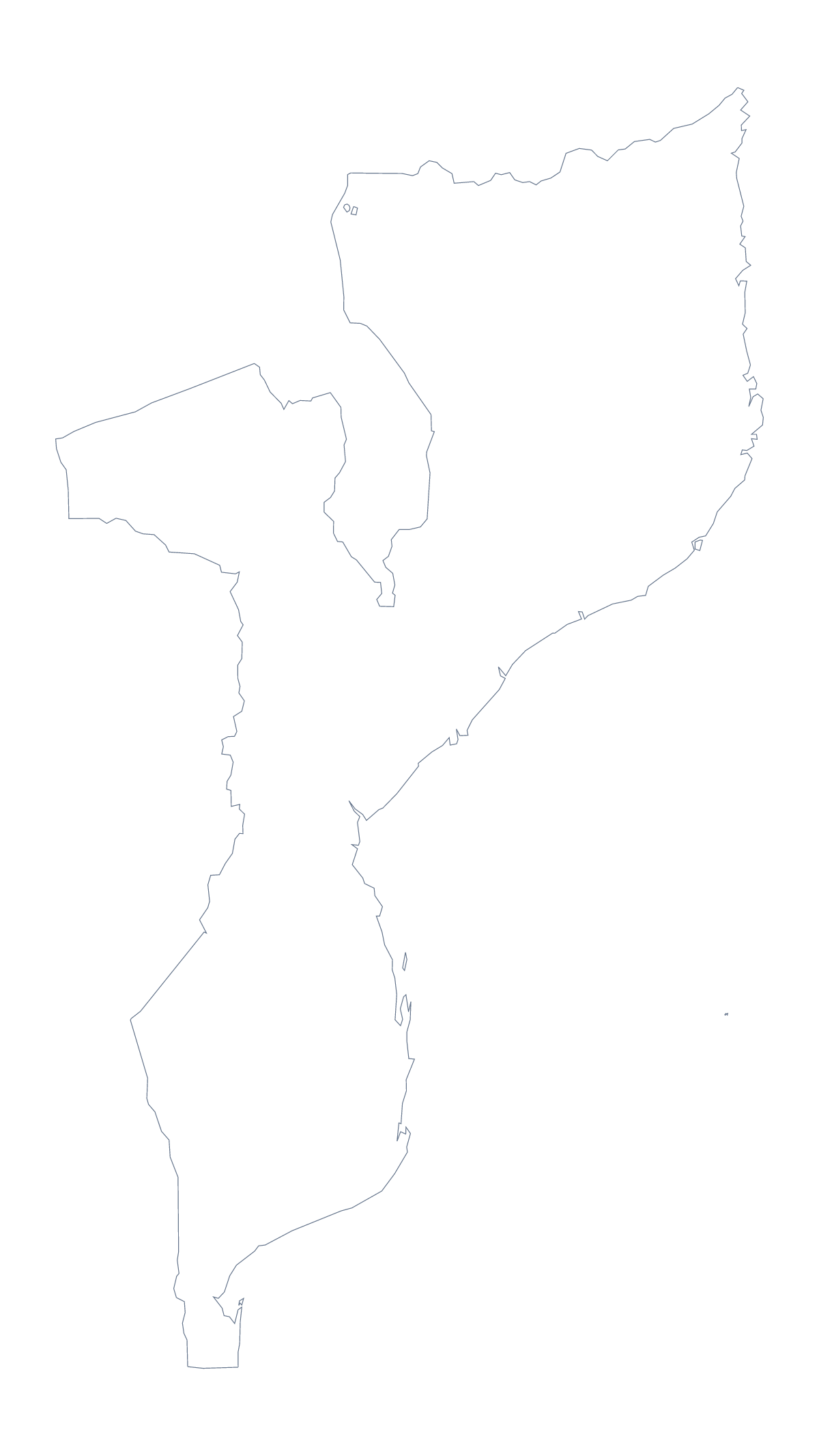
Using a blank map of Mozambique
Mozambique's outline is a useful base for anything with a network on it: a map of depots, a route diagram, a project plan. This page gives you the shape as a file, in two versions. Outline only is the silhouette, and With borders adds the 11 administrative areas. Each comes as a PNG on a transparent background, an SVG and a PDF.
Under a diagram or a plan
Put the PNG at the back of a slide or a document and draw on top of it: arrows between Maputo, Beira and Nampula for a supply chain, boxes for depots, a note for each area a project covers. Because the background is transparent, the colour of your page or slide shows through and only the shape of Mozambique is added.
Designers can open the SVG in Illustrator, Inkscape or Figma, where the 11 areas are separate shapes. Recolour four of them in the brand's palette, thicken the lines or break the shape into pieces for an illustration. The file scales up for a poster or a report cover without going soft.
Numbered areas in your own layout
With borders is the political blank map of Mozambique: the areas drawn in, with no names. Number six of them in your own layout, for example Gaza, Manica, Niassa, Sofala, Tete and Zambezia, and write a note for each number beside the map. The list further down this page gives the spellings.
Choosing between them
Take Outline only when the inner lines would get in the way: a silhouette on a title slide, a logo sketch or a stencil. Take With borders when you need the areas. For a PDF, pick A4 or Letter to match your printer; for print choices such as ink, use the printable map of Mozambique. If you need names, colours or cities on the map itself, Customise this map opens the same outline in the editor, or you can start from the editable map of Mozambique.
How to do it in MapMaker
- Choose With borders to show the 11 administrative areas, or Outline only for the shape of Mozambique alone.
- Download the PNG for a slide, the SVG for a design tool or a PDF for A4 or Letter.
- Place the file on your slide or page and draw your own routes, labels or boxes over it.
- For names, cities or colours on the map itself, choose Customise this map and download from the editor.
The 11 administrative areas on the map
A key for labelling the map by hand.
- Cabo Delgado
- Gaza
- Inhambane
- Manica
- Maputo
- Maputo
- Nampula
- Niassa
- Sofala
- Tete
- Zambezia
Facts about Mozambique
Mozambique is in Eastern Africa. The capital is Maputo. The population is about 30 million (2019 estimate). Mozambique has an area of about 791,000 km². The largest cities are Maputo, Matola, Beira, Nampula and Chimoio. It borders Eswatini, Malawi, South Africa, Tanzania, Zambia and Zimbabwe. The map divides it into 11 administrative areas.
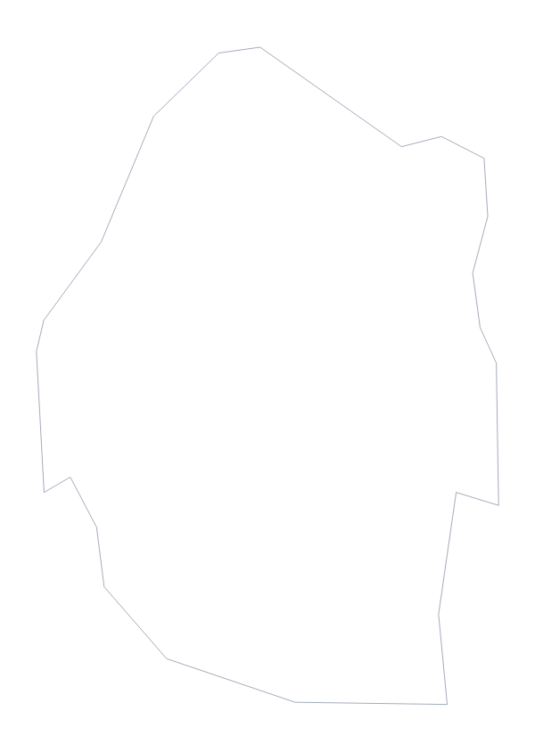
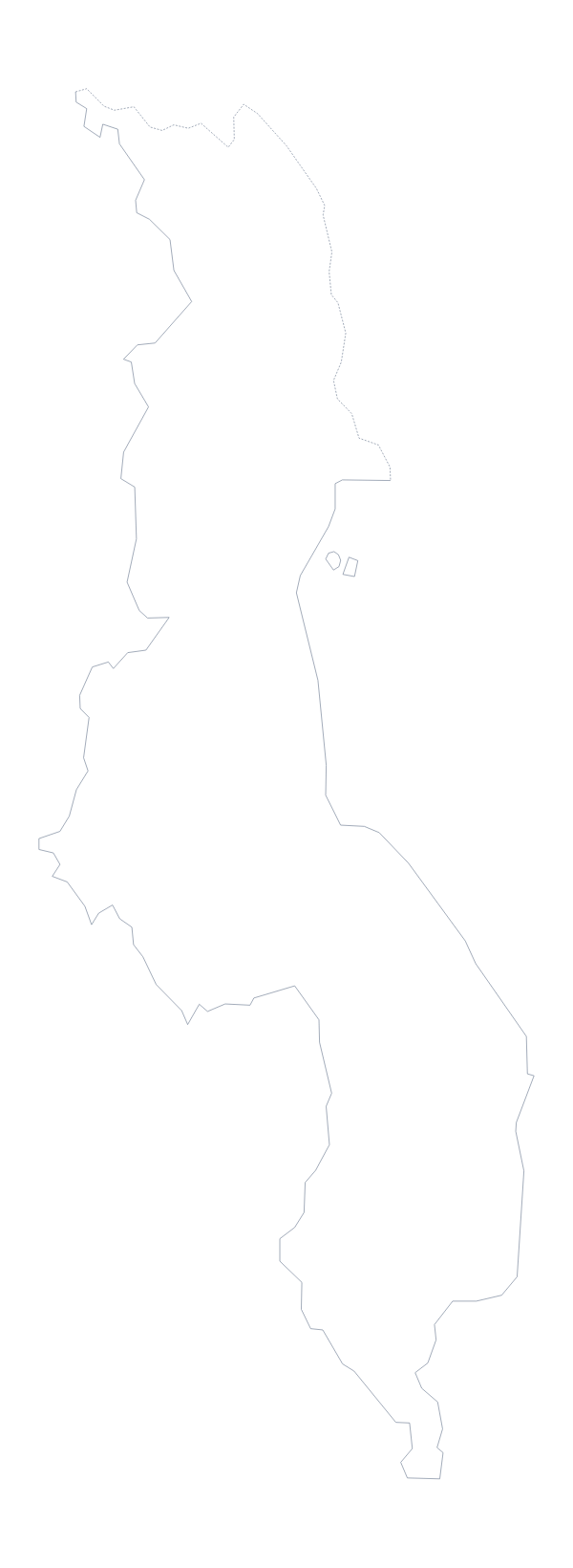
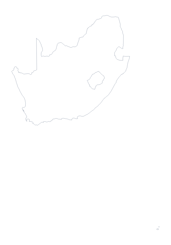
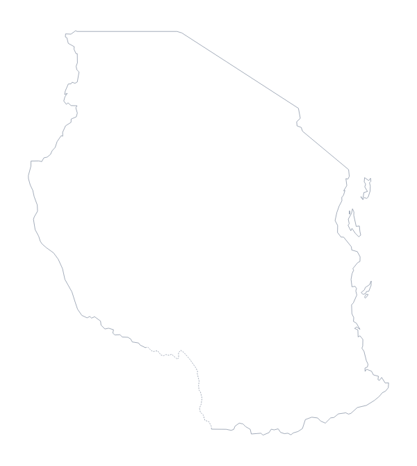
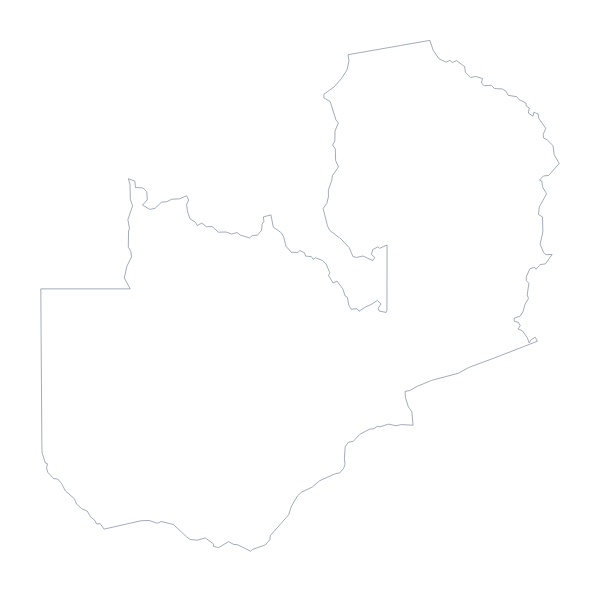
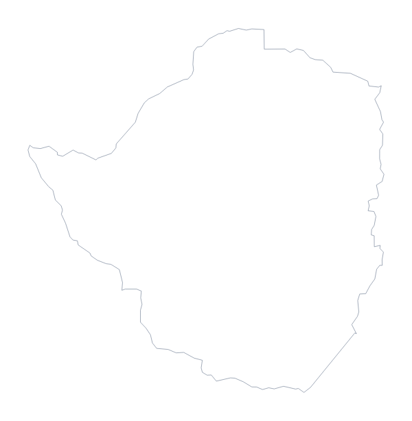
Maps of neighbouring places
Questions people ask
Is there a political blank map of Mozambique?
Yes: it is the With borders version, which draws the lines of all 11 administrative areas with no names on them. Pupils can label each from the list of areas further down this page.
Can I open the SVG in Illustrator, Inkscape or Figma?
Yes. The SVG is a vector file, so it opens in all three. Each area is a separate shape, which you can recolour, move or trace, and it scales to any size without blurring.
Does the PNG have a transparent background?
Yes. Both PNG versions of Mozambique come on a transparent background, so only the outline and its lines show on a slide or in a document, whatever colour sits behind them.
Can I show the countries around Mozambique?
Not on this page, which gives the outline only. Choose Customise this map to open it in the editor, where the Neighbours switch draws the countries around it in grey.