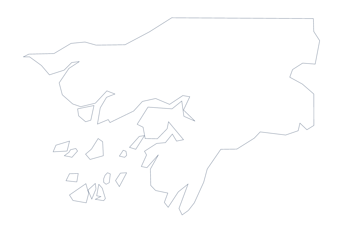
Blank map of Guinea-Bissau
The outline, free as a PNG, SVG or PDF. Label it, colour it in or drop it into a slide.
Using a blank map of Guinea-Bissau
Anyone who needs the shape of Guinea-Bissau for a worksheet, a slide or a piece of artwork can take it here. Outline only is the country on its own, and With borders draws its 9 administrative areas. Both come as a PNG, an SVG and a PDF.
A slide with the shape on it
Drop the PNG on a title slide and the transparent background lets the slide colour show through, so the country appears as a flat shape in whatever tone you choose. Put the heading and one line of text beside it. With With borders, the nine areas show as a pattern, which suits a slide on a regional project.
A map with nine captions
With nine shapes, With borders suits a one-page summary. Place the PNG in a document and write a short caption beside each area in your own words, taking the spellings from the list further down. Keep each caption short so the shape of the country stays easy to read.
For a plain cover, Outline only on a coloured block needs no other lines.
For a designer
In Illustrator or Figma the SVG gives each of the 9 areas as a shape. Fill Oio in one colour and the rest in a pale tone, for instance, to show a project's focus. Because it is vector, the same file works as a small icon or on a poster.
Where next
Print choices live on the printable map of Guinea-Bissau. For names, pins or a title on the map, Customise this map opens the same outline in the editor.
How to do it in MapMaker
- Choose With borders for the 9 areas, or Outline only for the shape of Guinea-Bissau alone.
- Download the PNG for a slide, the SVG for a design tool or the PDF for A4 or Letter.
- Place the file in your document and add a caption beside each area you want shown.
- Spell the captions from the list of administrative areas further down.
- For pins, names or a title, choose Customise this map and download from the editor.
The 9 administrative areas on the map
A key for labelling the map by hand.
- Bafatá
- Biombo
- Bissau
- Bolama
- Cacheu
- Gabú
- Oio
- Quinara
- Tombali
Facts about Guinea-Bissau
Guinea-Bissau is in Western Africa. The capital is Bissau. The population is about 1.9 million (2019 estimate). Guinea-Bissau has an area of about 33,000 km². The largest cities are Bissau, Bafatá, Gabú, Bolama and Cacheu. It borders Guinea and Senegal. The map divides it into 9 administrative areas.
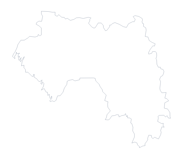
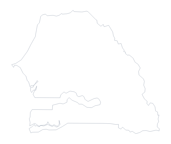
Maps of neighbouring places
Questions people ask
Is there a political blank map of Guinea-Bissau?
Yes, it is the With borders version. It draws the 9 administrative areas with no names, so you can number them for a quiz and check the answers against the list on this page.
Does the blank map show the names of the administrative areas?
No. A blank map has no names. Use the list of the 9 areas on this page as a key, or choose Customise this map to show names in the editor.
Which file should I use in a worksheet, a slide or a design?
Use the PNG in a worksheet or a slide, where its transparent background takes the page colour. Use the SVG in a design tool, and the PDF to print on A4 or Letter.
Is this the blank map of Guinea-Bissau or of Guinea?
It is Guinea-Bissau, with its 9 areas. Guinea has its own blank map with a different set of areas, linked on this page.