Blank map of Guinea
The outline, free as a PNG, SVG or PDF. Label it, colour it in or drop it into a slide.
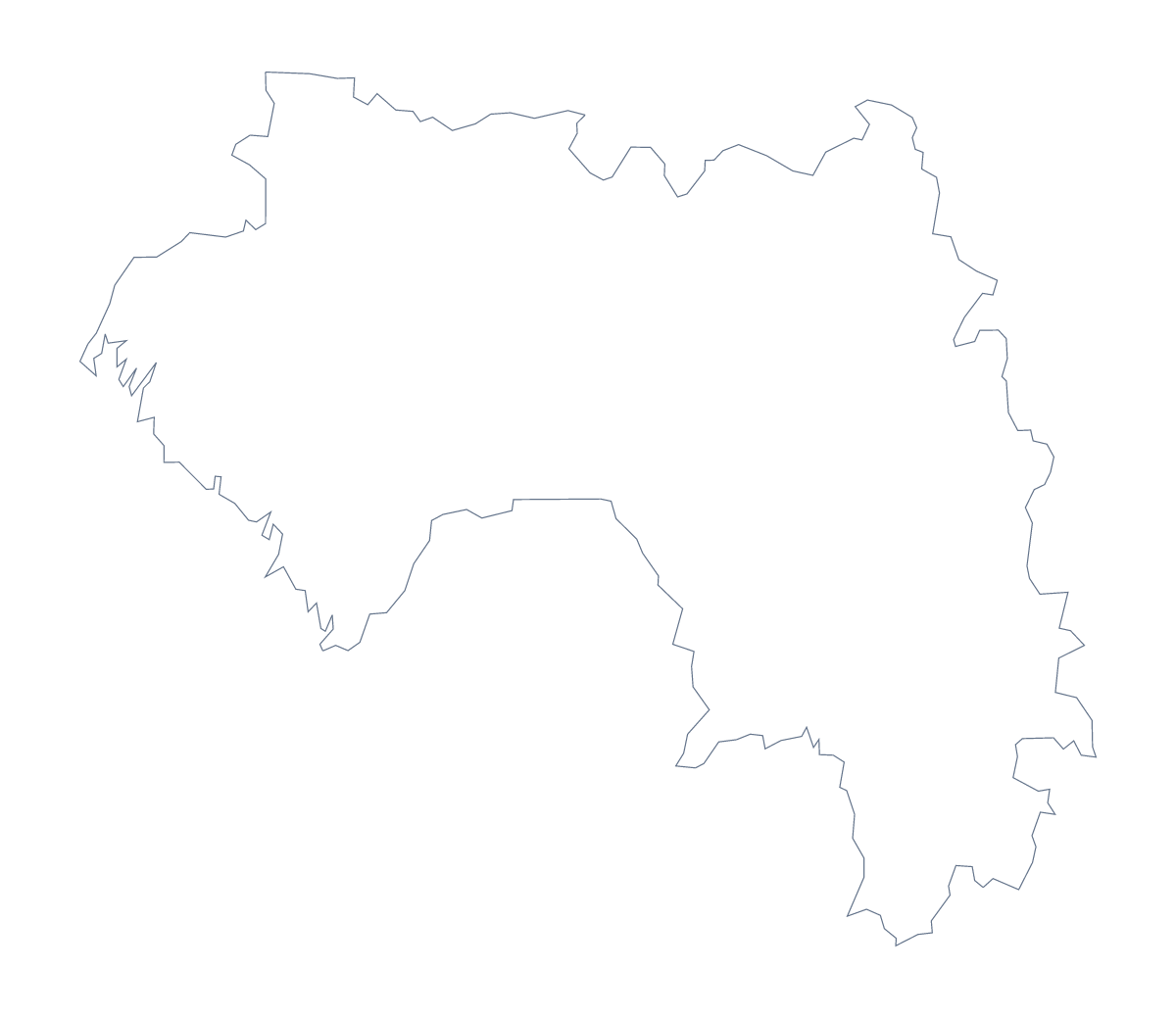
Using a blank map of Guinea
A map with 34 areas can be too busy for some jobs and exactly right for others, and this page lets you take either. Outline only is the shape of Guinea alone. With borders adds the lines between its 34 administrative areas. Both come as a PNG, an SVG and a PDF.
When the inner lines help, and when they do not
For a logo sketch, a small icon or a poster in which Guinea is a single colour, take Outline only: 34 inner lines would only be noise. For a labelling sheet, a territory design or a quiz, take With borders, since the areas are the point. In a slide, the PNG with the lines can sit behind a title as a faint pattern.
Design and handouts
With so many shapes, label only the few areas a page is about and leave the others plain; the list further down gives the spellings.
In Figma, Illustrator or Inkscape, the SVG gives each area as a shape you can fill. Colour them in groups, perhaps one tone around Conakry and others elsewhere, to build a territory graphic with no data behind it.
A third use is a handout for a talk: the PNG on a white page, with arrows to the places you will mention. Add Kankan, Kindia or Labé by hand, or use the editor to pin them.
Print, names and pins
The PDF prints on A4 or Letter. For black and white or colour choices, see the printable map of Guinea. For names, pins or a title on the map, choose Customise this map.
How to do it in MapMaker
- Choose With borders for the 34 areas, or Outline only for the shape of Guinea alone.
- Download the PNG for a slide, the SVG for a design tool or the PDF for A4 or Letter.
- Place the file in your document and add labels for the few areas you want shown.
- Spell the area names from the list of administrative areas further down.
- For names, cities or a title on the map itself, choose Customise this map.
The 34 administrative areas on the map
A key for labelling the map by hand.
- Beyla Prefecture
- Boffa Prefecture
- Boké
- Conakry
- Coyah Prefecture
- Dabola Prefecture
- Dalaba Prefecture
- Dinguiraye Prefecture
- Dubréka Prefecture
- Faranah
- Forécariah Prefecture
- Fria Prefecture
- Gaoual Prefecture
- Guéckédou Prefecture
- Kankan
- Kérouané Prefecture
- Kindia
- Kissidougou Prefecture
- Koubia Prefecture
- Koundara Prefecture
- Kouroussa Prefecture
- Labé Prefecture
- Lélouma Prefecture
- Lola Prefecture
- Macenta Prefecture
- Mali Prefecture
- Mamou Prefecture
- Mandiana Prefecture
- Nzérékoré Prefecture
- Pita Prefecture
- Siguiri Prefecture
- Télimélé Prefecture
- Tougué Prefecture
- Yomou Prefecture
Facts about Guinea
Guinea is in Western Africa. The capital is Conakry. The population is about 13 million (2019 estimate). Guinea has an area of about 245,000 km². The largest cities are Conakry, Gueckedou, Nzérékoré, Labé and Kindia. It borders Côte d'Ivoire, Guinea-Bissau, Liberia, Mali, Senegal and Sierra Leone. The map divides it into 34 administrative areas.
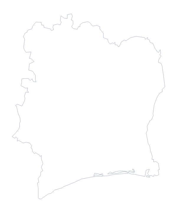
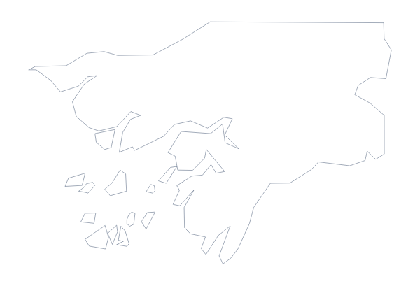
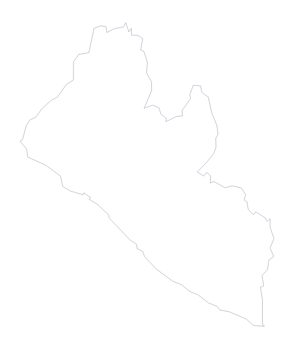
Maps of neighbouring places
Questions people ask
What is the difference between Outline only and With borders?
Outline only is the shape of Guinea with no lines inside. With borders draws the lines between its 34 administrative areas, and is the version to use for a labelling task.
Is there a political blank map of Guinea?
Yes, it is the With borders version. All 34 administrative areas are drawn and none is named, so you can number the ones you want pupils to label.
Can I make the outline bigger without it going blurry?
Yes, use the SVG or the PDF. Both are vector files, so the lines of Guinea and its 34 areas stay sharp whether the map is a thumbnail or a poster.
Is there an answer key for a labelling quiz?
Yes. The list of the 34 administrative areas further down this page is the key, so you can check any numbered areas against it.