Blank map of Jamaica
The outline, free as a PNG, SVG or PDF. Label it, colour it in or drop it into a slide.
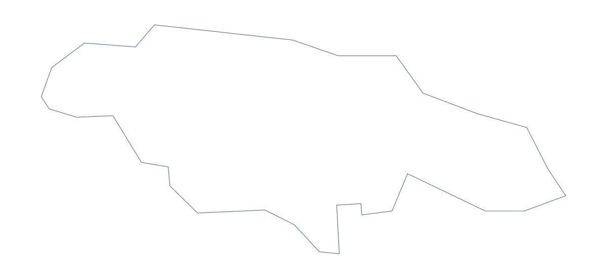
Using a blank map of Jamaica
People who ask for a blank map of Jamaica are often making something with a look of its own: an event poster, a family tree, a classroom display. This page gives them the shape. Outline only is the country with nothing inside it, and With borders adds its 14 administrative areas. Both are a PNG, an SVG or a PDF.
Posters and invitations
For an event, open the SVG in Illustrator, Inkscape or Figma and fill the outline with a colour from your design. Add the title in a font of your choice and put the details around the edge. Since the SVG is a vector file, the same artwork prints on a flyer or a banner.
A transparent PNG works the same way in a simpler tool: place it over a photo or a tinted background and the shape shows its colour through.
In a lesson deck
In a lesson deck, show the With borders outline with one area coloured at a time and put its name on the next slide. Clarendon, Hanover, Portland and Westmoreland make a good set of four, and the list of areas on this page gives the names in order.
The Outline only version is the one for a plain cover slide, where inner lines would compete with the title.
Which version, which file
The political blank map of Jamaica is the With borders version, with area lines and no names. Outline only is the better choice for a silhouette. Take PNG for slides, SVG for design tools and PDF for A4 or Letter. When you want print options, use the printable map of Jamaica; for pins and names, choose Customise this map.
How to do it in MapMaker
- Choose Outline only for a poster shape, or With borders for the 14 areas.
- Pick SVG for a design tool, PNG for a slide or worksheet, or a PDF for A4 or Letter.
- Place the file in your design and resize it from a corner so the shape keeps its proportions.
- Colour areas one at a time in your slide software and take the names from the list on this page.
- Choose Customise this map for names, colours or a title.
The 14 administrative areas on the map
A key for labelling the map by hand.
- Clarendon
- Hanover
- Kingston
- Manchester
- Portland
- Saint Andrew
- Saint Ann
- Saint Catherine
- Saint Elizabeth
- Saint James
- Saint Mary
- Saint Thomas
- Trelawny
- Westmoreland
Facts about Jamaica
Jamaica is in the Caribbean. The capital is Kingston. The population is about 2.9 million (2019 estimate). Jamaica has an area of about 11,100 km². The largest cities are Kingston, Spanish Town, May Pen, Montego Bay and Half Way Tree. Across the sea, its neighbours include Cuba and Haiti. The map divides it into 14 administrative areas.
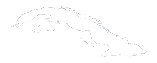
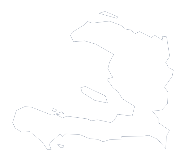
Maps of neighbouring places
Questions people ask
What is the difference between Outline only and With borders?
Outline only is the shape of Jamaica with nothing inside it. With borders adds the lines of its 14 administrative areas, and is the political blank map. Neither has names on it.
Does the PNG have a transparent background?
Yes. Everything around the shape is see-through, so it takes on the colour of a poster, a slide or an invitation placed behind it.
Is there an answer key for a labelling quiz?
Yes. The list of 14 areas further down this page names everything the With borders version draws, so you can mark any quiz against it.
Can I show the countries around Jamaica?
Not on this page, which gives the outline only. Choose Customise this map and switch on Neighbours in the editor to see the countries nearby.