Blank map of Cuba
The outline, free as a PNG, SVG or PDF. Label it, colour it in or drop it into a slide.
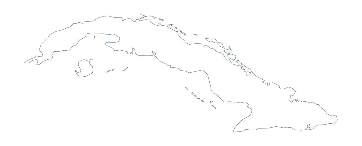
Using a blank map of Cuba
A blank map of Cuba is most useful as a layer: the shape goes under something you have written, drawn or tracked. This page supplies that layer as a PNG on a transparent background, an SVG or a PDF for A4 or Letter. Outline only is the country alone. With borders draws its 16 administrative areas inside it.
Under a tracker
Put the PNG at the back of a slide and use your presentation software's shapes to show progress: a coloured fill on each area a team has covered, with a small text box beside it. A transparent background means the outline takes the slide's colour and nothing hides your shapes.
Under a heading
With 16 areas drawn in, With borders is a detailed backdrop. Lightened and set behind a heading, it gives a page a texture of fine lines with no names to compete with your text, and the list on this page gives the names if you want any in your captions.
Design and craft
The SVG opens in Illustrator, Inkscape or Figma, where the outline scales without blurring. Use it for a poster, a stencil or an illustration, and restyle the lines of the areas separately from the coast if you want a lighter touch inside. Outline only is better for a silhouette.
Choosing
The political blank map of Cuba is With borders. The PDF gives A4 or Letter with a short line at the foot, for printing the shape as it is; choices of ink and class sets are on the printable map of Cuba. For names, colours or pins, choose Customise this map.
How to do it in MapMaker
- Choose With borders for the 16 areas, or Outline only for the shape alone.
- Pick PNG for a slide, SVG for a design tool or a PDF for A4 or Letter.
- Send the PNG to the back of your slide and build your tracker on top.
- Take any area names for your captions from the list on this page.
- Choose Customise this map if the map needs neighbours, names or a title.
The 16 administrative areas on the map
A key for labelling the map by hand.
- Artemisa
- Camagüey
- Ciego de Ávila
- Cienfuegos
- Granma
- Guantánamo
- Havana
- Holguín
- Isla de la Juventud
- Las Tunas
- Matanzas
- Mayabeque
- Pinar del Río
- Sancti Spíritus
- Santiago de Cuba
- Villa Clara
Facts about Cuba
Cuba is in the Caribbean. The capital is Havana. The population is about 11 million (2019 estimate). Cuba has an area of about 110,000 km². The largest cities are Havana, Santiago de Cuba, Camagüey, Holguín and Guantánamo. Across the sea, its neighbours include Bahamas, Haiti, Jamaica, Mexico and United States of America. The map divides it into 16 administrative areas.
Maps of neighbouring places
Questions people ask
Is there a political blank map of Cuba?
Yes: With borders. It draws all 16 administrative areas inside the outline, Isla de la Juventud included, with no names. Outline only is the shape of the country with nothing inside it.
How many areas does the blank map show?
The With borders version shows 16 administrative areas. The list further down this page names each one, so you can label the map yourself and check the labels against it.
Does the PNG have a transparent background?
Yes. The area around the outline is see-through, so the map of Cuba takes on the colour of the page, slide or poster you set it on. There is no white box to remove.
Can I show the countries around Cuba?
Not here, where the map does not change. Open Customise this map and switch on Neighbours in the editor, and the countries across the sea appear in grey for you to download.