Blank map of Japanese prefectures
The outline, free as a PNG, SVG or PDF. Label it, colour it in or drop it into a slide.
Using a blank map of Japanese prefectures
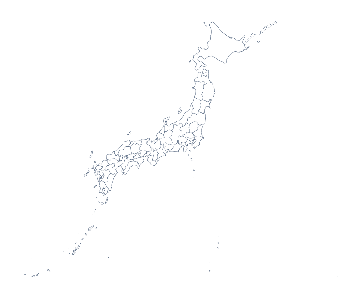
The shape of Japan as a file: With borders draws all 47 prefectures with no names, and this page puts it first, while Outline only is the whole shape without the inner lines. You can take either as a PNG on a transparent background, an SVG or a PDF, and put it into whatever you are making.
A page of notes in your own document
Place the PNG on a page and add short notes for the prefectures a project covers, such as Hokkaidō, Okinawa Prefecture, Nagano Prefecture and Aichi Prefecture, each with a line to its shape. The list further down this page gives the spelling of every prefecture, in the form the map uses.
A map behind your slide or inside your design
A transparent PNG sits on a slide without a box around it, so the slide's own colour shows through the gaps. In Illustrator, Inkscape or Figma, the SVG lets you give each prefecture its own fill, thin the lines or cut the shapes out of card for a craft project. The outline alone is a quick way to make a title slide.
Which version and which file
With borders is the political blank map of the Japanese prefectures, and it is the version for labelling and quizzes. Outline only is for a plain shape. Take the PNG for worksheets and slides, the SVG for design tools and a PDF for A4 or Letter.
When you need names or colours added, use the editable map of the Japanese prefectures. The country also has its own blank map of Japan.
How to do it in MapMaker
- Choose With borders for the 47 prefectures, or Outline only for the whole shape.
- Pick the PNG for a slide or worksheet, or the SVG to work on it in a design tool.
- Take PDF, A4 or PDF, Letter when you want to print it as it is.
- Add a note for each prefecture a project covers, and check each spelling against the list on this page.
- Choose Customise this map to add names, colours or a title, then download from the editor.
The 47 prefectures on the map
A key for labelling the map by hand.
- Aichi Prefecture
- Akita Prefecture
- Aomori Prefecture
- Chiba Prefecture
- Ehime Prefecture
- Fukui Prefecture
- Fukuoka Prefecture
- Fukushima Prefecture
- Gifu Prefecture
- Gunma Prefecture
- Hiroshima Prefecture
- Hokkaidō
- Hyōgo Prefecture
- Ibaraki Prefecture
- Ishikawa Prefecture
- Iwate Prefecture
- Kagawa Prefecture
- Kagoshima Prefecture
- Kanagawa Prefecture
- Kōchi Prefecture
- Kumamoto Prefecture
- Kyōto Prefecture
- Mie Prefecture
- Miyagi Prefecture
- Miyazaki Prefecture
- Nagano Prefecture
- Nagasaki Prefecture
- Nara Prefecture
- Niigata Prefecture
- Ōita Prefecture
- Okayama Prefecture
- Okinawa Prefecture
- Ōsaka Prefecture
- Saga Prefecture
- Saitama Prefecture
- Shiga Prefecture
- Shimane Prefecture
- Shizuoka Prefecture
- Tochigi Prefecture
- Tokushima Prefecture
- Tokyo
- Tottori Prefecture
- Toyama Prefecture
- Wakayama Prefecture
- Yamagata Prefecture
- Yamaguchi Prefecture
- Yamanashi Prefecture
Facts about Japanese prefectures
This map shows 47 prefectures in Eastern Asia. Together they have an area of about 373,000 km². The capital is Tokyo. The population is about 130 million (2019 estimate). The largest cities are Tokyo, Ōsaka, Yokohama, Nagoya and Fukuoka.
Questions people ask
Is there a political blank map of the Japanese prefectures?
Yes: With borders, the version this page puts first. It draws all 47 prefectures as separate shapes with no names, ready to label, number for a quiz or colour in.
How many prefectures does the blank map show?
With borders shows 47 prefectures. The list of prefectures further down this page names every one, so it doubles as the answer sheet for a labelling task.
Can I make the outline bigger without it going blurry?
Use the SVG. It is a vector file, so the prefecture lines stay sharp at any size. The PNG is fixed in size and softens if you stretch it a long way.
How is this different from the printable map of the Japanese prefectures?
This page gives you files to put into your own worksheet, slide or design. The printable page is about sheets of paper: paper size, ink and the PDF you print as it is.