Editable map of Japanese prefectures
Colour the regions, add cities and labels, and download it in minutes. Free, no sign-up.
Ideas for a map of Japanese prefectures
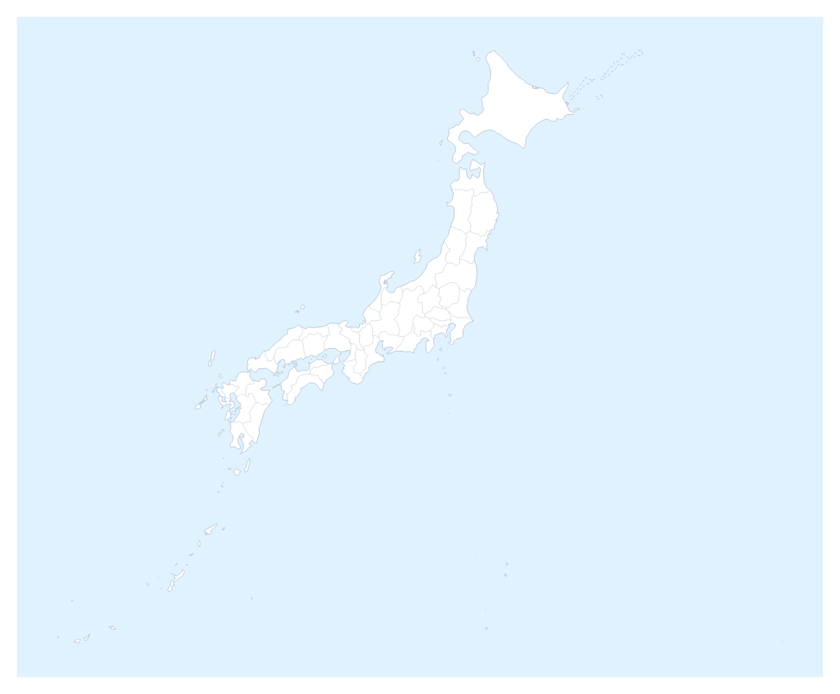
A map of the Japanese prefectures is the base for a trip plan, a regional sales slide or a project on the country's 47 prefectures. It opens in the editor with each one drawn as its own shape, from Hokkaidō to Okinawa, ready to colour, name and pin.
Plan a trip across several prefectures
Pin Tokyo, Ōsaka, Yokohama, Nagoya and Fukuoka with the city search, join the ones you will visit with a route, and the numbered stops give the order. Colour the prefectures you will stay in one colour and the ones you pass through in another, and add a title. The PNG pastes into an itinerary, and the SVG suits a poster of the trip.
A coverage map for a team
A retailer or a service firm can give each regional manager a colour, click the prefectures they cover and add a legend with their names. Pins for the offices show where each team is based. A single slide answers "who looks after Nagano?" and is easier to keep current than a spreadsheet. The editable map of Japan has the same prefectures drawn for the whole country.
Study and display
Students can colour the prefectures they have researched and name them with Show names. For a display, set the style to Vintage, add a title and download a PDF on A4 or A3.
Getting the map right on a slide
The Prefecture lines switch on the page turns the lines between prefectures on or off, so a group of neighbours can read as one region. Open Customise this map to use the place list, which names every prefecture and is quicker than finding each one by clicking. For a slide, use the 16:9 canvas and a PNG with Transparent on, or Copy image and paste. Minimal suits a report; Dark suits a deck with a dark theme. More on decks is on the map for PowerPoint page.
How to do it in MapMaker
- Pick a colour in the bar on the map and click the prefectures for your first group, then repeat for the next colour.
- Choose Customise this map to open the editor, where the place list names all 47 prefectures.
- Use Add your cities to pin Tokyo, Ōsaka or Fukuoka, and add a title on the Canvas tab.
- Choose Download and pick PNG for slides, SVG for a design tool or PDF for print.
Embed this map
Paste this code into your website to show this map of Japanese prefectures, with a small credit link back to MapMaker.so.
Facts about Japanese prefectures
This map shows 47 prefectures in Eastern Asia. Together they have an area of about 373,000 km². The capital is Tokyo. The population is about 130 million (2019 estimate). The largest cities are Tokyo, Ōsaka, Yokohama, Nagoya and Fukuoka.
Questions people ask
How do I colour the Japanese prefectures?
Pick a swatch in the bar on the map and click a prefecture to fill it; click it again to clear it. In the editor, the place list names all 47 prefectures, from Aichi to Yamanashi, so you can choose one by name.
Can I plan a route between Tokyo, Ōsaka and Fukuoka?
Yes, in the editor. Pin the cities with the city search, then join them with the route tool. Numbered stops show the order, and a plane icon can be switched on for a flight.
Can I show the names of the prefectures?
Yes. In the editor, select the prefectures you want named and choose Show names on the card. Name only the ones a slide is about if the map is small, and leave the rest to the legend.
Which file should I download for a design tool?
Choose SVG. It keeps the prefecture lines sharp in Illustrator, Inkscape or Figma and lets you restyle each prefecture. For slides and documents, a PNG is the quicker choice.