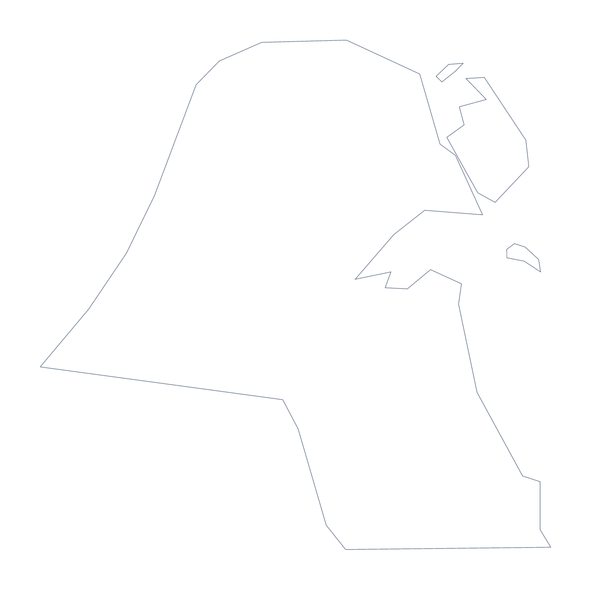
Blank map of Kuwait
The outline, free as a PNG, SVG or PDF. Label it, colour it in or drop it into a slide.
Using a blank map of Kuwait
Anyone downloading a blank map of Kuwait wants the shape as a file, to use in a worksheet, a slide or a design of their own. Outline only has nothing inside it. With borders adds the 6 administrative areas. Each version comes as a PNG, an SVG or a PDF.
In your own artwork
Use the SVG in Illustrator, Inkscape or Figma as the base of a logo sketch, an icon or an infographic panel. With Outline only, the country is a single shape you can fill or trace. With With borders, each area is separate, so you can recolour them one by one in a brand palette, and the file stays sharp whatever size you export.
Worksheets and slides
A PNG on a slide takes the colour of the background. Set it beside a few figures for a short business update. For a worksheet, drop With borders into a document and number the six areas, then use the list further down this page as the answers. For a second sheet, reuse the same file with a different set of numbers so neighbouring desks have different questions.
Which version
The political blank map of Kuwait is With borders. Outline only suits a logo sketch or a very young colourist. Take PNG for documents, SVG for design tools and PDF for an A4 or Letter page.
For names, colours or the countries around Kuwait, choose Customise this map, or open the editable map of Kuwait. For print choices, see the printable map of Kuwait.
How to do it in MapMaker
- Choose Outline only for one shape, or With borders for the 6 areas.
- Download the PNG, the SVG, or a PDF, A4 or PDF, Letter.
- Place the file in your document or slide and resize it from a corner.
- Number the areas for a quiz, and use the list on this page as the answer sheet.
- Choose Customise this map if you need names or colours.
The 6 administrative areas on the map
A key for labelling the map by hand.
- Al Ahmadi
- Al Farwaniyah
- Al Jahra
- Capital
- Hawally
- Mubarak Al-Kabeer
Facts about Kuwait
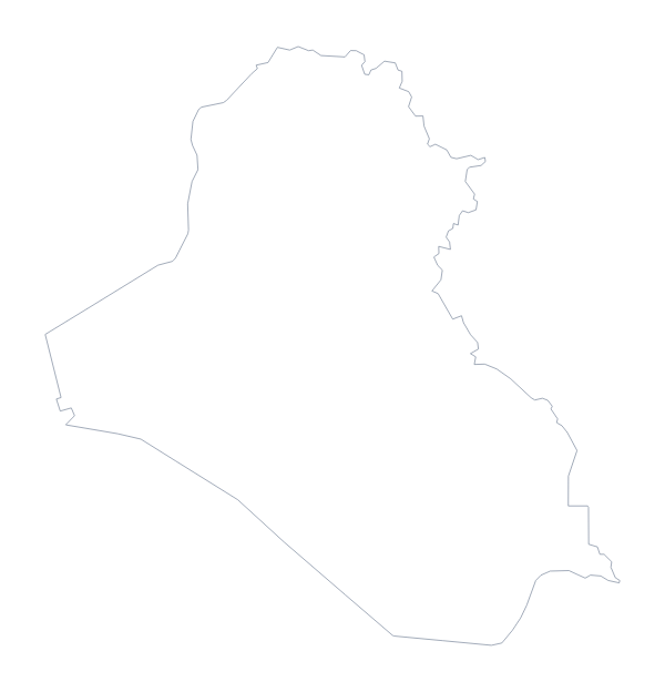
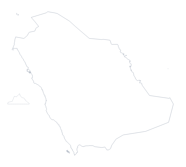
Kuwait is in Western Asia. The capital is Kuwait City. The population is about 4.2 million (2019 estimate). Kuwait has an area of about 17,500 km². The largest cities are Kuwait City, Al Jahra, Hawalli and Al Ahmadi. It borders Iraq and Saudi Arabia. The map divides it into 6 administrative areas.
Maps of neighbouring places
Questions people ask
What is the difference between Outline only and With borders?
Outline only is the shape of Kuwait with nothing inside it. With borders adds the lines between its 6 administrative areas. That is the political blank map, and it has no names.
Does the PNG have a transparent background?
Yes. Everything around the outline is see-through, so the shape of Kuwait takes the colour of the page, slide or poster behind it.
Can I make the outline bigger without it going blurry?
Yes. Use the SVG, a vector file that stays sharp at any size, so a small country can fill a poster or sit as a small icon.
Can I show the countries around Kuwait?
Not on this page, which gives the outline only. In the editor, choose Customise this map and switch on Neighbours to draw Iraq and Saudi Arabia in grey beside it.