Blank map of Iraq
The outline, free as a PNG, SVG or PDF. Label it, colour it in or drop it into a slide.
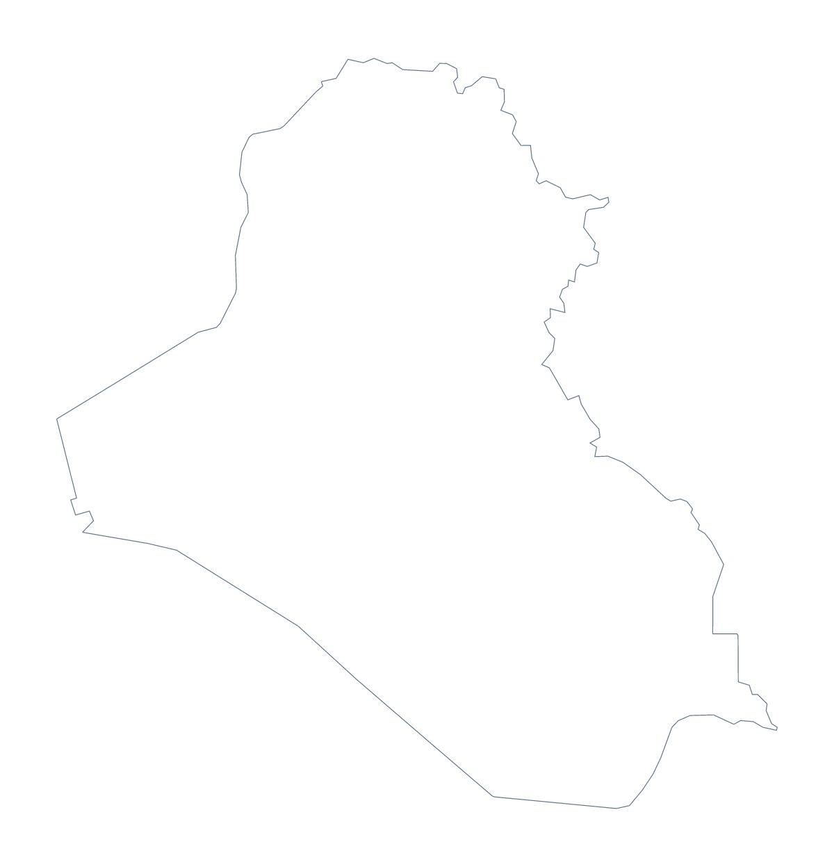
Using a blank map of Iraq
The outline of Iraq is wanted as a file to build on: the shape for a briefing slide, an exercise in a teaching pack, a base for a poster. This page offers two versions of it. Outline only is the country with nothing inside, and With borders adds the 18 administrative areas. Each comes as a PNG, an SVG or a PDF.
Design and slide uses
Put the PNG on a slide with a dark or coloured background and the shape of Iraq sits on it with no white box. Place a few figures beside it, or a short heading across the top.
In a design tool, open the SVG and style it: give the areas a thin white line, colour them to match a brand or trace the outline for a report cover.
Quizzes and labelling
For a numbered quiz, import the With borders PNG into your worksheet and put numbers on eight areas, such as Al Anbar, Najaf, Karbala and Diyala. Pupils name each one, and the list of administrative areas further down this page is the answer sheet.
Which version and file
The political blank map of Iraq is the With borders version: inner lines and no names. Choose Outline only when the shape matters more than the areas, for instance a silhouette behind a title. PNG suits worksheets and slides, SVG suits design tools, and PDF gives an A4 or Letter page that prints at 100%.
When you want areas coloured, names or a title, use Customise this map, or the editable map of Iraq. For printing choices such as black and white, go to the printable map of Iraq.
How to do it in MapMaker
- Choose With borders for the 18 administrative areas, or Outline only for the whole shape.
- Pick PNG for a slide or worksheet, or SVG for a design tool.
- Place the file on your page and resize it from a corner so the proportions stay true.
- Number a few areas for a quiz and keep the list on this page as the answers.
- Choose Customise this map if you need names or colours first.
The 18 administrative areas on the map
A key for labelling the map by hand.
- Al Anbar
- Al Muthanna
- Al-Qādisiyyah
- Babylon
- Baghdad
- Basra
- Dhi Qar
- Diyala
- Duhok
- Erbil
- Karbala
- Kirkuk
- Maysan
- Najaf
- Nineveh
- Saladin
- Sulaymaniyah
- Wasit
Facts about Iraq
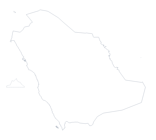
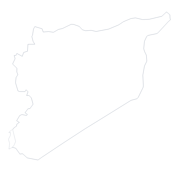
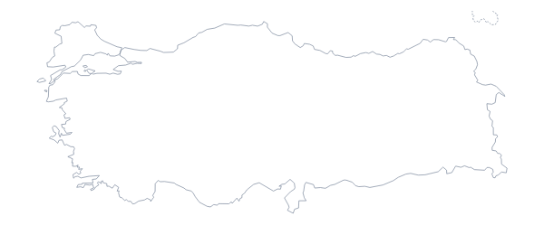
Iraq is in Western Asia. The capital is Baghdad. The population is about 39 million (2019 estimate). Iraq has an area of about 438,000 km². The largest cities are Baghdad, Mosul, Duhok, Irbil and Basra. It borders Iran, Jordan, Kuwait, Saudi Arabia, Syria and Turkey. The map divides it into 18 administrative areas.
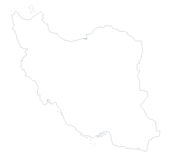
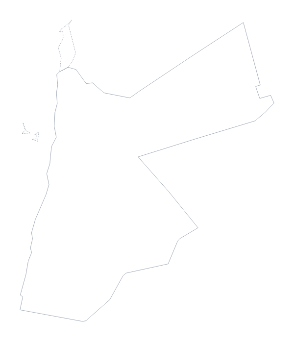
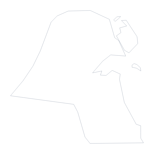
Maps of neighbouring places
Questions people ask
Is there a political blank map of Iraq?
Yes. It is the With borders version, which draws the 18 administrative areas as separate shapes with no names. Outline only is the shape of the country with nothing inside.
Does the PNG have a transparent background?
Yes. Everything around Iraq is see-through, so the outline takes the colour of the slide, worksheet or poster it sits on.
Can I make the outline bigger without it going blurry?
Yes. Take the SVG or a PDF: both are vector files, so the lines stay sharp however far you scale them in Illustrator, Inkscape or Figma.
Can I show the countries around Iraq?
Not on this page, which gives the outline only. Choose Customise this map and switch on Neighbours in the editor to draw Iran, Jordan, Kuwait, Saudi Arabia, Syria and Turkey beside it.