Blank map of Morocco
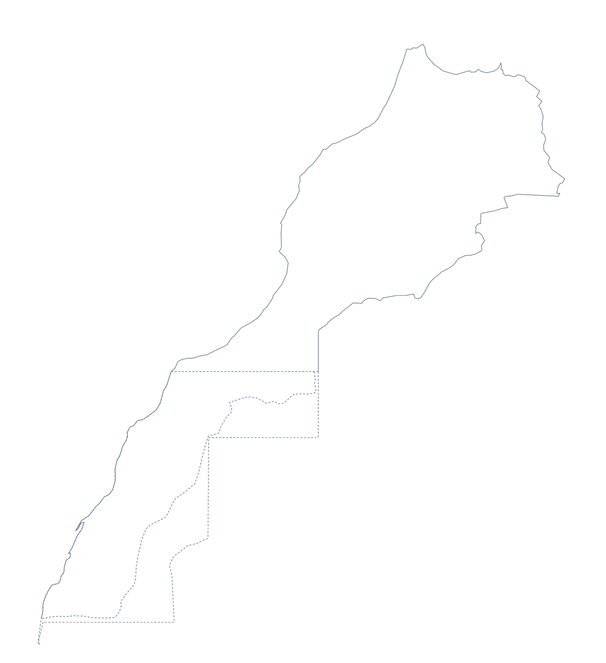
The outline, free as a PNG, SVG or PDF. Label it, colour it in or drop it into a slide.
Using a blank map of Morocco
Tour operators, teachers and students take the outline of Morocco for their own work: a brochure page, a worksheet on the country's cities, a revision card or a slide about a trip. There are two versions on this page, Outline only for the shape and With borders, which draws its 16 administrative areas. Each comes as a PNG on a transparent background, an SVG and a PDF.
A name-hunt on the areas
Here is a puzzle for older pupils that the map checks for itself. Place the With borders PNG in your worksheet, give pupils the list of administrative areas from further down this page and the five largest cities from the facts table, and ask them to shade every area whose name contains one of those cities. Grand Casablanca is an easy start. The spelling of Fez is the catch: the list writes it differently inside an area's name, which opens a talk about how one place can be spelt in more than one way.
For younger children, Outline only in a worksheet with a large title space makes a simple colouring page, with room to draw anything they have learned about the country around the edge.
Brochures, slides and posters
A tour operator can open the SVG in Illustrator, Inkscape or Figma, draw the route of each trip over Outline only in the brand colour and reuse the same base for every itinerary. On a slide, the PNG's transparent background lets the theme colour surround the outline, with space for a heading and the trip's dates. For a travel poster, the vector file scales to any size without blurring.
Choosing
With borders draws the 16 administrative areas and nothing more: take it for labelling, puzzles and colouring by area. Outline only is the plain shape for designs, title slides and younger children. Use the PNG for documents and slides, the SVG for design tools and the PDF for A4 or Letter. Black-and-white sheets and areas shaded before printing are on the printable map of Morocco; names, pins or a title come from Customise this map.
How to do it in MapMaker
- Choose With borders for the 16 areas, or Outline only for the shape of Morocco alone.
- Pick PNG for a worksheet or slide, SVG for a design tool or a PDF for A4 or Letter.
- Add your numbers, shading or route in your own file, using the list on this page as the key.
- For names or colours on the map itself, choose Customise this map and download from the editor.
The 16 administrative areas on the map
A key for labelling the map by hand.
- Chaouia-Ouardigha
- Doukkala Abda
- Fès-méknas-boulmane
- Gharb-Chrarda-Béni Hssen
- Grand Casablanca
- Guelmim-Es Semara
- Laâyoune-Boujdour-Sakia El Hamra
- Marrakesh-Tensift-El Haouz
- Meknès-Tafilalet
- Oriental
- Oued Ed-Dahab
- Rabat-Salé-Zemmour-Zaër
- Suss-Massa-Draa
- Tadla-Azilal
- Tangier-Tetouan
- Taza-Al Hoceïma-Taounate
Facts about Morocco
Morocco is in Northern Africa. The capital is Rabat. The population is about 36 million (2019 estimate). The largest cities are Casablanca, Rabat, Fez, Marrakesh and Agadir. It borders Algeria, Spain and Western Sahara. The map divides it into 16 administrative areas.
Maps of neighbouring places
Questions people ask
What is the difference between Outline only and With borders?
Outline only is the shape of Morocco with no lines inside. With borders draws its 16 administrative areas, with no names, so you can number, label or colour them in your own worksheet or design.
Does the blank map show the names of the administrative areas?
No. A blank map has no names. The 16 areas are listed further down this page, so you can copy the ones you need into a worksheet and keep the list as the answer key.
Can I open the SVG in Illustrator, Inkscape or Figma?
Yes. The SVG of Morocco opens in all three as vector paths, so the outline scales cleanly and, in the With borders version, each area's line can be restyled.
Can I print the blank map?
Yes. Each version has a PDF for A4 and one for Letter, which print at 100%. For black and white or areas shaded before printing, use the printable map of Morocco.