Blank map of Algeria
The outline, free as a PNG, SVG or PDF. Label it, colour it in or drop it into a slide.
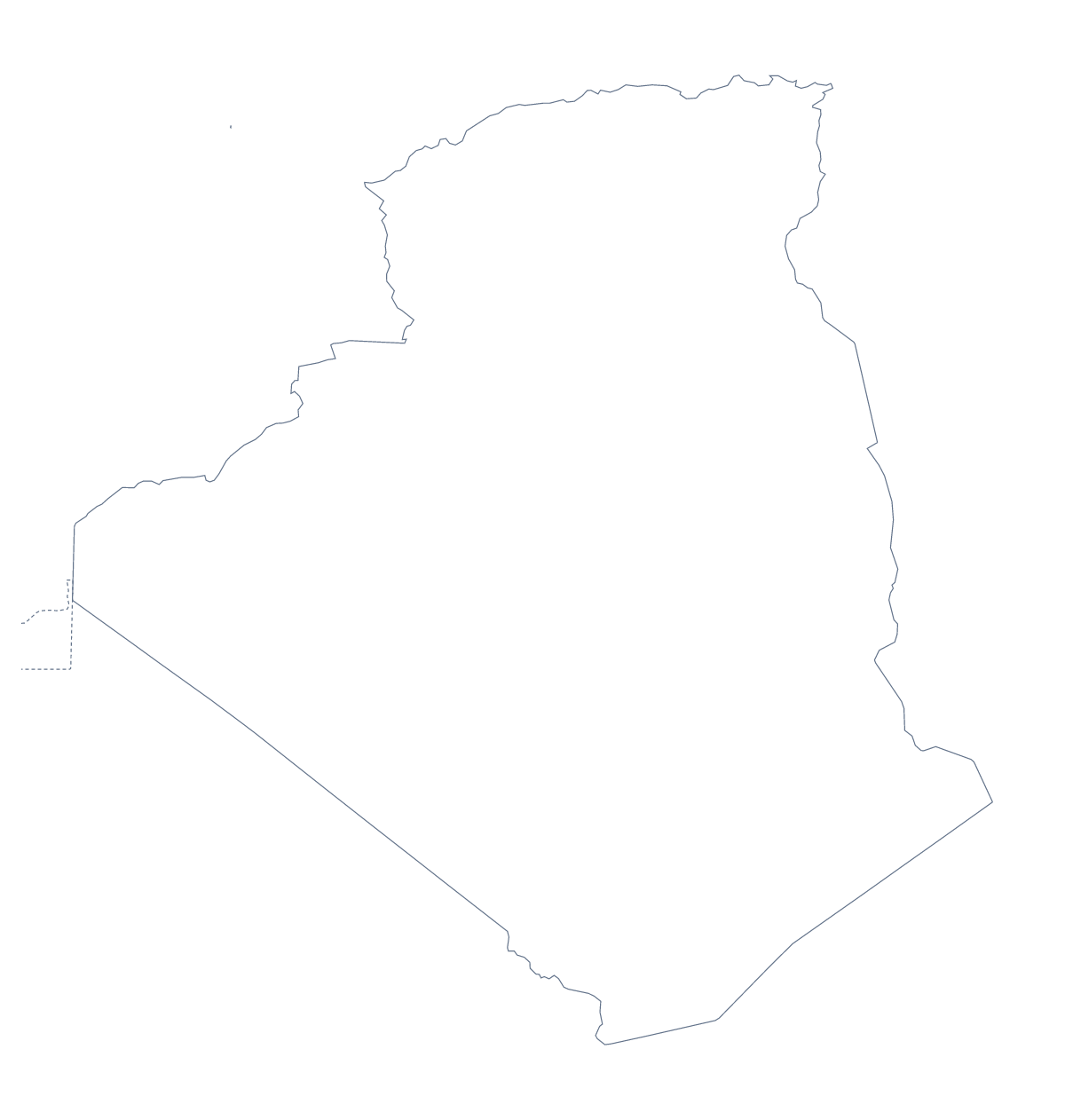
Using a blank map of Algeria
If you are building your own worksheet, slide or poster, what you need is the shape of Algeria as a file. Two versions are here: Outline only for the country on its own and With borders for its 48 administrative areas. Each comes as a PNG, an SVG and a PDF for A4 or Letter.
A base layer for a handout or briefing
The political blank map of Algeria is the With borders version: all 48 areas drawn, none named. Place the PNG in a word-processed handout, lay a text box over each area your section is about and write the point you want to make there. The list of areas further down this page gives the spellings to copy.
A second task suits an infographic or a revision card: choose six areas, for example Adrar, Ghardaïa and Tizi Ouzou, colour them in your own layout and write a caption beside each. The SVG makes that quick, because every area is already its own shape.
A class display can use Outline only as a cover: set the PNG on a coloured page and write the topic title large beside it.
Over a slide or into a design
On a title slide in your own colours, the PNG leaves only the shape of Algeria showing, because the background is transparent. Put three short points beside it and the slide is done.
Designers can open the SVG in Illustrator, Inkscape or Figma and recolour the areas one by one, or delete all but a few so that the outline carries only the part a poster is about.
When the outline is not enough
For names, pins, colours or a title, Customise this map opens the same outline in the editor. Print choices such as black and white are on the printable map of Algeria, and figures by area can be shaded on the choropleth map of Algeria.
How to do it in MapMaker
- Choose Outline only for the shape of Algeria, or With borders for its 48 administrative areas.
- Download the PNG for a worksheet or slide, the SVG for a design tool or a PDF for A4 or Letter.
- Place the file in your own document and lay text boxes over the areas the page is about.
- Copy the area names from the list further down this page into your captions.
- Choose Customise this map for names or colours on the map itself.
The 48 administrative areas on the map
A key for labelling the map by hand.
- Adrar
- Aïn Defla
- Aïn Témouchent
- Algiers
- Annaba
- Batna
- Béchar
- Béjaïa
- Biskra
- Blida
- Bordj Bou Arréridj
- Bouïra
- Boumerdès
- Chlef
- Constantine
- Djelfa
- El Bayadh
- El Oued
- El Tarf
- Ghardaïa
- Guelma
- Illizi
- Jijel
- Khenchela
- Laghouat
- M'Sila
- Mascara
- Médéa
- Mila
- Mostaganem
- Naama
- Oran
- Ouargla
- Oum El Bouaghi
- Relizane
- Saïda
- Sétif
- Sidi Bel Abbès
- Skikda
- Souk Ahras
- Tamanghasset
- Tébessa
- Tiaret
- Tindouf
- Tipasa
- Tissemsilt
- Tizi Ouzou
- Tlemcen
Facts about Algeria
Algeria is in Northern Africa. The capital is Algiers. The population is about 43 million (2019 estimate). Algeria has an area of about 2,310,000 km². The largest cities are Algiers, Oran, Constantine, Blida and Annaba. It borders Libya, Mali, Mauritania, Morocco, Niger, Tunisia and Western Sahara. The map divides it into 48 administrative areas.
Maps of neighbouring places
Questions people ask
Is there a political blank map of Algeria?
Yes, it is the With borders version. It draws the lines of all 48 administrative areas with no names on them, so pupils can label each one from the list further down this page.
Does the PNG have a transparent background?
Yes. The PNG has no background colour of its own, so a slide or a coloured page shows through around the outline of Algeria and its areas.
Can I make the outline bigger without it going blurry?
Yes, with the SVG or the PDF. Both are vector files, so the lines of Algeria stay sharp at poster size. A PNG is made of pixels and softens if you stretch it.
How do I add names, a title or my own colours?
The blank files carry none. Choose Customise this map to open the same outline in the editor, where you can colour areas, show names, add a title on the Canvas tab and download again.