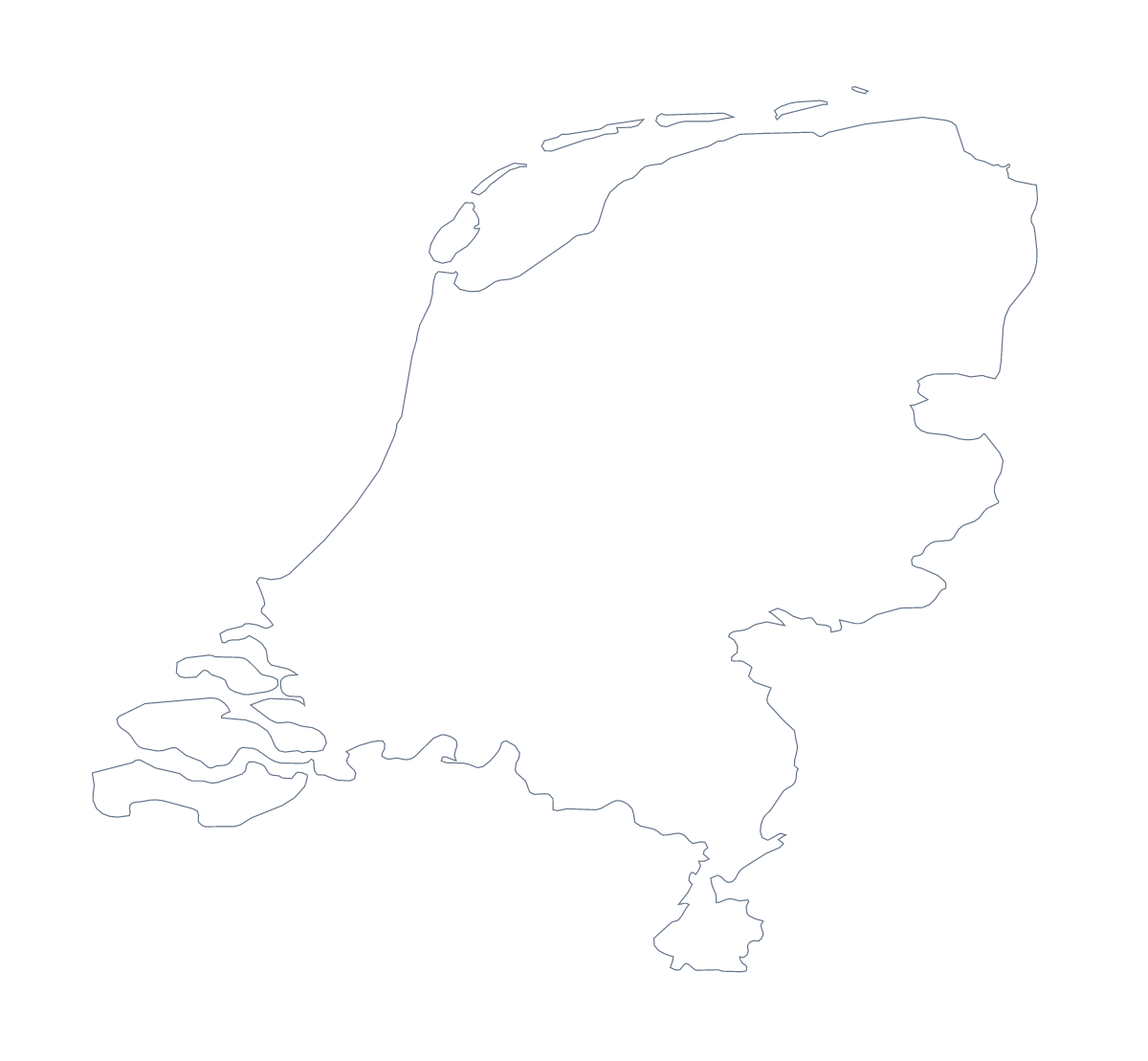
Blank map of the Netherlands
The outline, free as a PNG, SVG or PDF. Label it, colour it in or drop it into a slide.
Using a blank map of the Netherlands
The first thing a slide about the Netherlands needs is a shape that sits on any background. This page provides it in two versions: Outline only, the country on its own, and With borders, which adds its 15 administrative areas. Each is a PNG on a transparent background, an SVG or a PDF.
The shape on a slide
Drop the PNG of Outline only onto a title slide in your company colour. The transparent background means no white box, so a title, a date or a few figures can go beside the country. For a section divider, use With borders at a larger size and dim it with the transparency setting of your slide tool.
A quiz from the SVG
Open the SVG of With borders in a design tool and number a few areas, such as Groningen, Drenthe, Gelderland and Utrecht. Export the sheet, and keep the list on this page as the answer sheet. For a five-minute starter, show Outline only with no title and ask pupils which country it is.
Versions in short
The political blank map of the Netherlands is the With borders version, with area lines and no names. Outline only is better when the inner lines would compete with what you add, as on a cover, a logo sketch or a map for young children. The SVG and PDF are vector files, so they scale up without blurring. For ink and paper choices, the printable map of the Netherlands is the page to use; Customise this map adds names and colour.
How to do it in MapMaker
- Choose Outline only for the country alone, or With borders for its 15 areas.
- Download the PNG for a slide, the SVG for a design tool or a PDF for A4 or Letter.
- Place the file on your slide or page and resize it from a corner.
- Choose Customise this map if you want names, colours or a title in the editor.
The 15 administrative areas on the map
A key for labelling the map by hand.
- Bonaire
- Drenthe
- Flevoland
- Friesland
- Gelderland
- Groningen
- Limburg
- North Brabant
- North Holland
- Overijssel
- Saba
- Sint Eustatius
- South Holland
- Utrecht
- Zeeland
Facts about the Netherlands
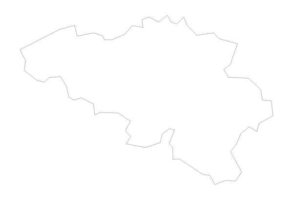
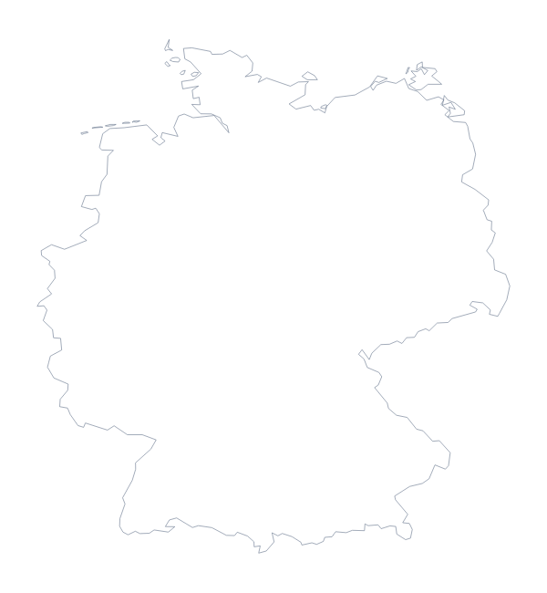
The Netherlands is in Western Europe. The capital is Amsterdam. The population is about 17 million (2019 estimate). The Netherlands has an area of about 37,300 km². The largest cities are The Hague, Amsterdam, Rotterdam, Utrecht and Eindhoven. It borders Belgium and Germany. The map divides it into 15 administrative areas.
Maps of neighbouring places
Questions people ask
Is there a political blank map of the Netherlands?
Yes. With borders is the political blank map of the Netherlands: it draws the 15 administrative areas and carries no names, so pupils can label them from the list on this page.
Does the PNG have a transparent background?
Yes. Everything around the outline is see-through, so the map takes the colour of the slide, document or poster you place it on.
Which file should I use in a slide, a worksheet or a design?
Use the PNG for a slide or worksheet, the SVG for a design tool such as Illustrator, Inkscape or Figma, and the PDF if you want to print the outline on A4 or Letter.
Can I colour the map in before I download it?
Not on this page, which gives the outline only. Open the printable map of the Netherlands to colour areas with the bar on the map, or Customise this map for colours, names and a title.