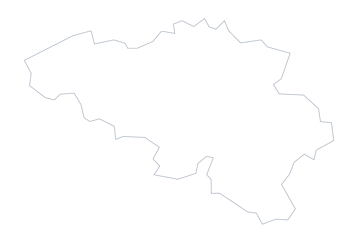
Blank map of Belgium
The outline, free as a PNG, SVG or PDF. Label it, colour it in or drop it into a slide.
Using a blank map of Belgium
When a Belgian outline is needed as a file, it is usually for a worksheet, a slide or something the reader designs. This page offers two versions: Outline only, the country alone, and With borders, which adds 11 administrative areas. Each is a PNG, an SVG or a PDF, and none has names.
Worksheet tasks
Drop the PNG of With borders into a document and number four areas, such as Namur, Limburg, Hainaut and Liège. Pupils write each name against its number, and the list below is the key. Shuffle the numbers for a second version of the sheet, and the same list answers both. For younger children, Outline only makes a cover for a project folder, ready to decorate.
Slides and design
The PNG has a transparent background, so on a slide the country takes the colour of your theme and leaves space for a heading. The SVG opens in Illustrator, Inkscape or Figma, where the 11 areas can be filled in your brand colours, thickened or traced. Use Outline only for a cover or a logo sketch, since inner lines add noise.
Version and file
The political blank map of Belgium is the With borders version. If a lesson needs colour by area, it is quicker on the editable map of Belgium, which has a colour bar. A PDF on A4 or Letter prints the outline at 100%; for colour and black-and-white choices, use the printable map of Belgium. Customise this map opens the outline in the editor for names and pins.
How to do it in MapMaker
- Choose With borders for the 11 administrative areas, or Outline only for the shape.
- Pick PNG for a slide or worksheet, SVG for a design tool or PDF, A4 or PDF, Letter.
- Place the file on your page and resize it from a corner.
- Mark labelling against the list of areas on this page.
- Choose Customise this map for names, colours or a title.
The 11 administrative areas on the map
A key for labelling the map by hand.
- Antwerp
- Brussels Capital
- East Flanders
- Flemish Brabant
- Hainaut
- Liège
- Limburg
- Luxembourg
- Namur
- Walloon Brabant
- West Flanders
Facts about Belgium
Belgium is in Western Europe. The capital is Brussels. The population is about 11 million (2019 estimate). Belgium has an area of about 30,600 km². The largest cities are Brussels, Antwerpen, Liège, Gent and Charleroi. It borders France, Germany, Luxembourg and Netherlands. The map divides it into 11 administrative areas.
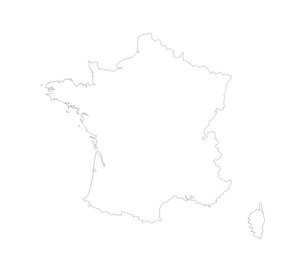
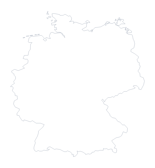
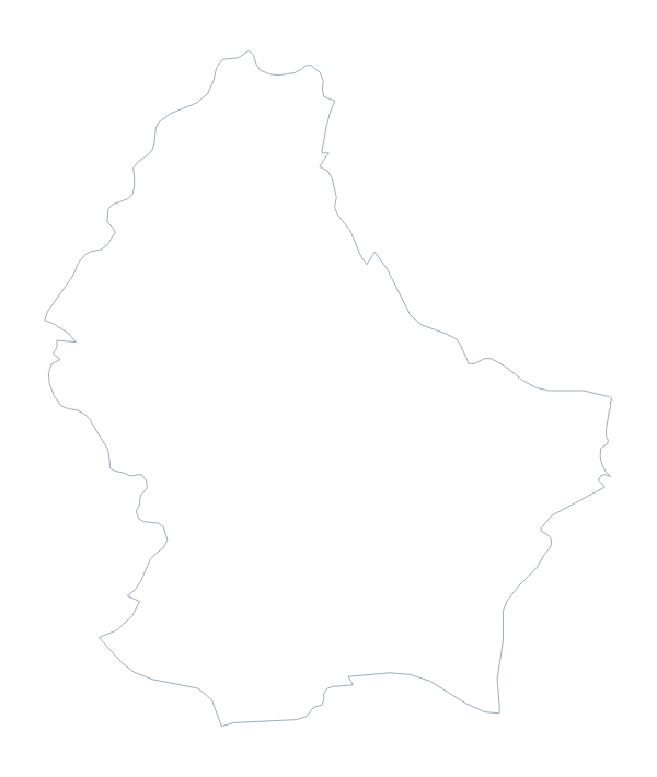
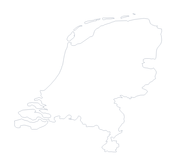
Maps of neighbouring places
Questions people ask
What is the difference between Outline only and With borders?
Outline only is Belgium as a single shape. With borders adds the 11 administrative areas inside it, and is the political blank map of Belgium. Neither version has any names.
Which file should I use in a worksheet, a slide or a design?
A PNG for a worksheet or slide, because its background is transparent; an SVG for Illustrator, Inkscape or Figma; a PDF for printing on A4 or Letter.
Is there an answer key for a labelling quiz?
Yes. The list of administrative areas further down this page names all 11 that the With borders version draws, so it works as your answer sheet.
Can I colour the map in before I download it?
Not on this page, which gives you the outline files. The editable map of Belgium has the bar for colouring areas, and Customise this map opens the outline in the editor.