Blank map of the Philippines
The outline, free as a PNG, SVG or PDF. Label it, colour it in or drop it into a slide.
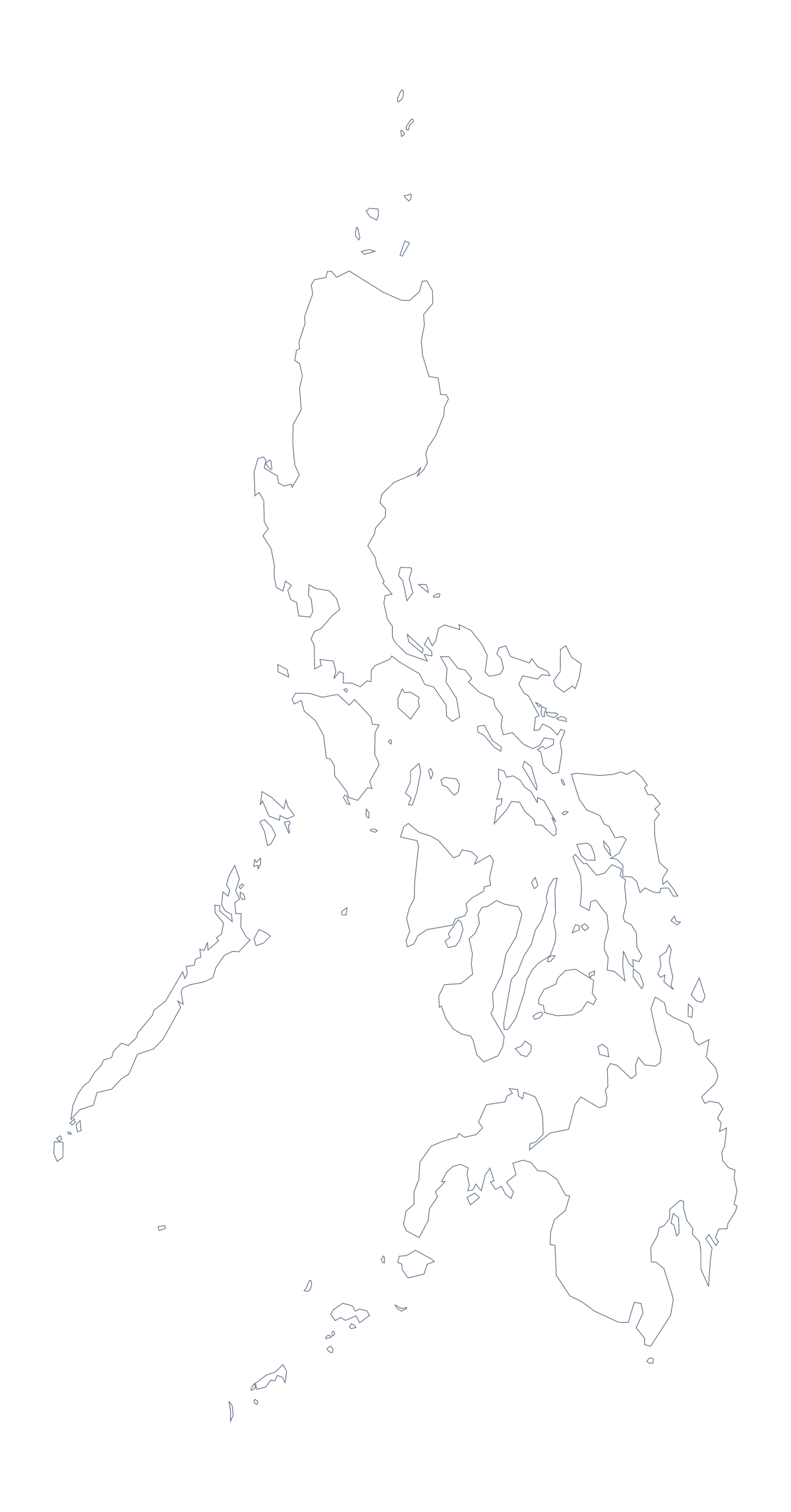
Using a blank map of the Philippines
For the Philippines, the shape has two levels of use. Outline only gives the shape alone, and With borders draws its 118 administrative areas. Each version comes as a PNG on a transparent background, an SVG and a PDF.
Design: grouping the 118 areas
The SVG is the most useful file for anyone making territories. Open it in a vector tool, select the areas that belong together and fill them with one colour; that is faster than clicking through 118 shapes one at a time on a web page. Save the result as a PNG for a slide. The areas stay separate, so a corrected territory is a quick change.
Slides and documents
Take the Outline only PNG for a title slide or a report cover; the transparent background means your own colour shows around the shape. Use the With borders PNG when the areas themselves are the subject, and give it a large space on the slide so that the small shapes can be seen.
A quiz
The political blank map of the Philippines is the With borders version. In a word-processor worksheet, number eight areas such as Aklan, Bukidnon, Cavite, Isabela, Masbate, Palawan, Tarlac and Zambales, and use the key further down this page as the answer sheet. A younger group can start from Outline only, which has no small shapes to distract from the whole country.
Choosing the file
PNG for slides and worksheets, SVG for design tools and large sizes, PDF for a sheet on A4 or Letter. For paper and ink choices, see the printable map of the Philippines. To add names, colours or pins, Customise this map opens the editor, or use the editable map of the Philippines.
How to do it in MapMaker
- Choose With borders for the 118 areas, or Outline only for the shape.
- Download the SVG for a design tool, or the PNG for a slide or worksheet.
- Place the file on your page and let your own background show through.
- Choose Customise this map if you want names or a title added.
The 118 administrative areas on the map
A key for labelling the map by hand.
- Abra
- Agusan del Norte
- Agusan del Sur
- Aklan
- Albay
- Angeles
- Antique
- Apayao
- Aurora
- Bacolod
- Baguio
- Basilan
- Bataan
- Batanes
- Batangas
- Benguet
- Biliran
- Bohol
- Bukidnon
- Bulacan
- Butuan
- Cagayan
- Cagayan de Oro
- Caloocan
- Camarines Norte
- Camarines Sur
- Camiguin
- Capiz
- Catanduanes
- Cavite
- Cebu
- Cebu
- Cotabato
- Cotabato
- Dagupan
- Davao
- Davao de Oro
- Davao del Norte
- Davao del Sur
- Davao Oriental
- Dinagat Islands
- Eastern Samar
- General Santos
- Guimaras
- Ifugao
- Iligan
- Ilocos Norte
- Ilocos Sur
- Iloilo
- Iloilo
- Isabela
- Kalinga
- La Union
- Laguna
- Lanao del Norte
- Lanao del Sur
- Lapu-Lapu
- Las Pinas
- Leyte
- Lucena
- Maguindanao
- Makati
- Malabon
- Mandaluyong
- Mandaue
- Marikina
- Marinduque
- Masbate
- Metro Manila
- Misamis Occidental
- Misamis Oriental
- Mountain
- Muntinlupa
- Naga
- Navotas
- Negros Occidental
- Negros Oriental
- Northern Samar
- Nueva Ecija
- Nueva Vizcaya
- Occidental Mindoro
- Olongapo
- Oriental Mindoro
- Ormoc
- Palawan
- Pampanga
- Pangasinan
- Parañaque
- Pasay
- Pasig
- Pateros
- Puerto Princesa
- Quezon
- Quezon City
- Quirino
- Rizal
- Romblon
- Samar
- San Juan
- Santiago
- Sarangani
- Siquijor
- Sorsogon
- South Cotabato
- Southern Leyte
- Sultan Kudarat
- Sulu
- Surigao del Sur
- Tacloban
- Taguig City
- Tarlac
- Tawi-Tawi
- Valenzuela City
- Zambales
- Zamboanga del Norte
- Zamboanga del Sur
- Zamboanga Peninsula
- Zamboanga Sibugay
Facts about the Philippines
The Philippines is in South-Eastern Asia. The capital is Manila. The population is about 110 million (2019 estimate). The Philippines has an area of about 294,000 km². The largest cities are Manila, Quezon City, Davao, Cagayan de Oro and General Santos. Across the sea, its neighbours include Indonesia, Malaysia and Taiwan. The map divides it into 118 administrative areas.
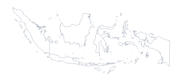
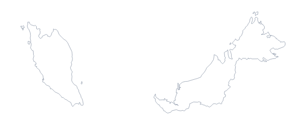
Maps of neighbouring places
Questions people ask
Is there a political blank map of the Philippines?
Yes, it is the With borders version. It draws the lines of all 118 administrative areas with no names, so it can be labelled from the list further down this page.
Can I make the outline bigger without it going blurry?
Yes. Use the SVG or the PDF: both are vector files, so the lines stay sharp at any size. This matters with 118 areas, since the small ones need room to be seen.
Can I open the SVG in Illustrator, Inkscape or Figma?
Yes. It opens in all three. You can select the 118 areas one by one, recolour them or group them into territories for your own design.
Is there an answer key for a labelling quiz?
Yes. The list of the 118 administrative areas further down this page, from Abra to Zamboanga Sibugay, serves as the key. Number the areas you want named and check the answers against it.