Blank map of Malaysia
The outline, free as a PNG, SVG or PDF. Label it, colour it in or drop it into a slide.
Using a blank map of Malaysia
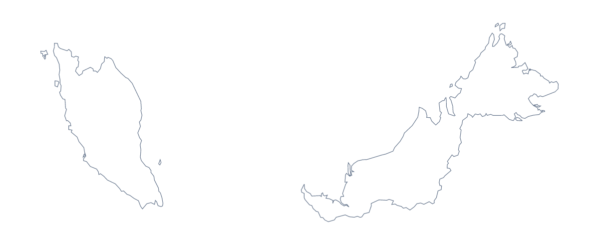
People who want the shape of Malaysia as a file usually have a project of their own already: a slide, a poster, a worksheet in a word processor. This page gives you the outline alone or with its 16 administrative areas, each as a PNG, an SVG and a PDF.
In a design tool
The SVG is the file to take into Illustrator, Inkscape or Figma. Because the 16 areas are separate shapes in the With borders version, you can fill each one with a brand colour, pull Sabah and Sarawak out of the layout for a callout, or trace the lines for a shop-window display. The Outline only SVG gives a single shape for a logo sketch or a cut-out.
In a report or a slide
Place the With borders PNG beside a table of your own figures, one row for each of the 16 areas, and take the area names from the list further down this page. The plain outline works as a quiet backdrop for a title slide or a section divider.
Which version, which file
The political blank map of Malaysia is the With borders version. It has no names, which is what makes it a labelling exercise. Take Outline only when inner lines would get in the way, for example behind a title.
Use the PNG in slides and documents: its transparent background takes the colour of the slide. Choose the SVG for design work and the PDF for A4 or Letter. The PDF prints at 100%; for more print choices, see the printable map of Malaysia.
When you need names or colours
Customise this map opens the same outline in the editor, where you can colour areas, show names and pin George Town or Johor Bahru. The editable map of Malaysia does the same with a bar of tools on the page.
How to do it in MapMaker
- Choose With borders to get the 16 administrative areas, or Outline only for the shape alone.
- Download the SVG for a design tool, or the PNG for a worksheet or slide.
- Place the file on your page; the transparent background lets your own colour show through.
- To add names or a title, choose Customise this map and download from the editor.
The 16 administrative areas on the map
A key for labelling the map by hand.
- Johor
- Kedah
- Kelantan
- Kuala Lumpur
- Labuan
- Melaka
- Negeri Sembilan
- Pahang
- Penang
- Perak
- Perlis
- Putrajaya
- Sabah
- Sarawak
- Selangor
- Terengganu
Facts about Malaysia
Malaysia is in South-Eastern Asia. The capital is Kuala Lumpur. The population is about 32 million (2019 estimate). Malaysia has an area of about 329,000 km². The largest cities are George Town, Kuala Lumpur, Kelang, Johor Bahru and Butterworth. It borders Brunei, Indonesia and Thailand. The map divides it into 16 administrative areas.
Maps of neighbouring places
Questions people ask
Is there a political blank map of Malaysia?
Yes, it is the With borders version. It draws the lines of all 16 administrative areas with no names on them, so pupils can label each one from the list further down this page.
Does the PNG have a transparent background?
Yes. Both the outline and the version with borders come as a PNG with no background colour, so it takes whatever colour sits behind it on your slide, poster or worksheet.
Can I open the SVG in Illustrator, Inkscape or Figma?
Yes. The SVG is a vector file, so it opens in all three and scales to any size without blurring. You can restyle the outline, move the 16 areas apart or trace them for a cut-out.
Can I show the countries around Malaysia?
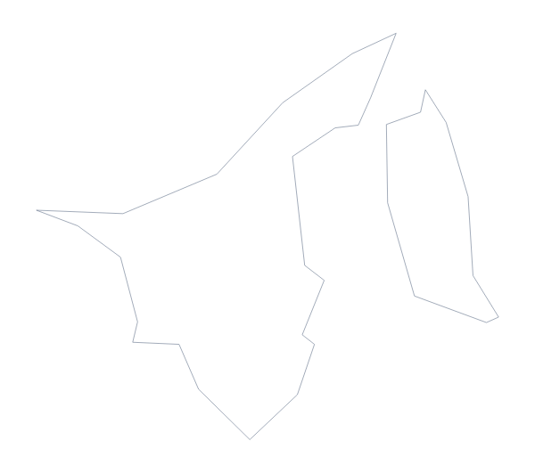
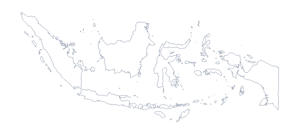
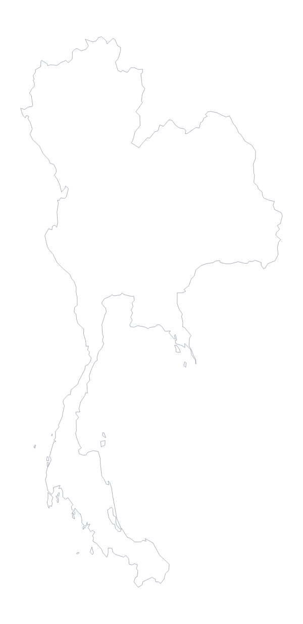
Not on this page, which shows the outline only. Choose Customise this map to open the editor, where the Neighbours switch draws Brunei, Indonesia and Thailand around it.