Blank map of Sierra Leone
The outline, free as a PNG, SVG or PDF. Label it, colour it in or drop it into a slide.
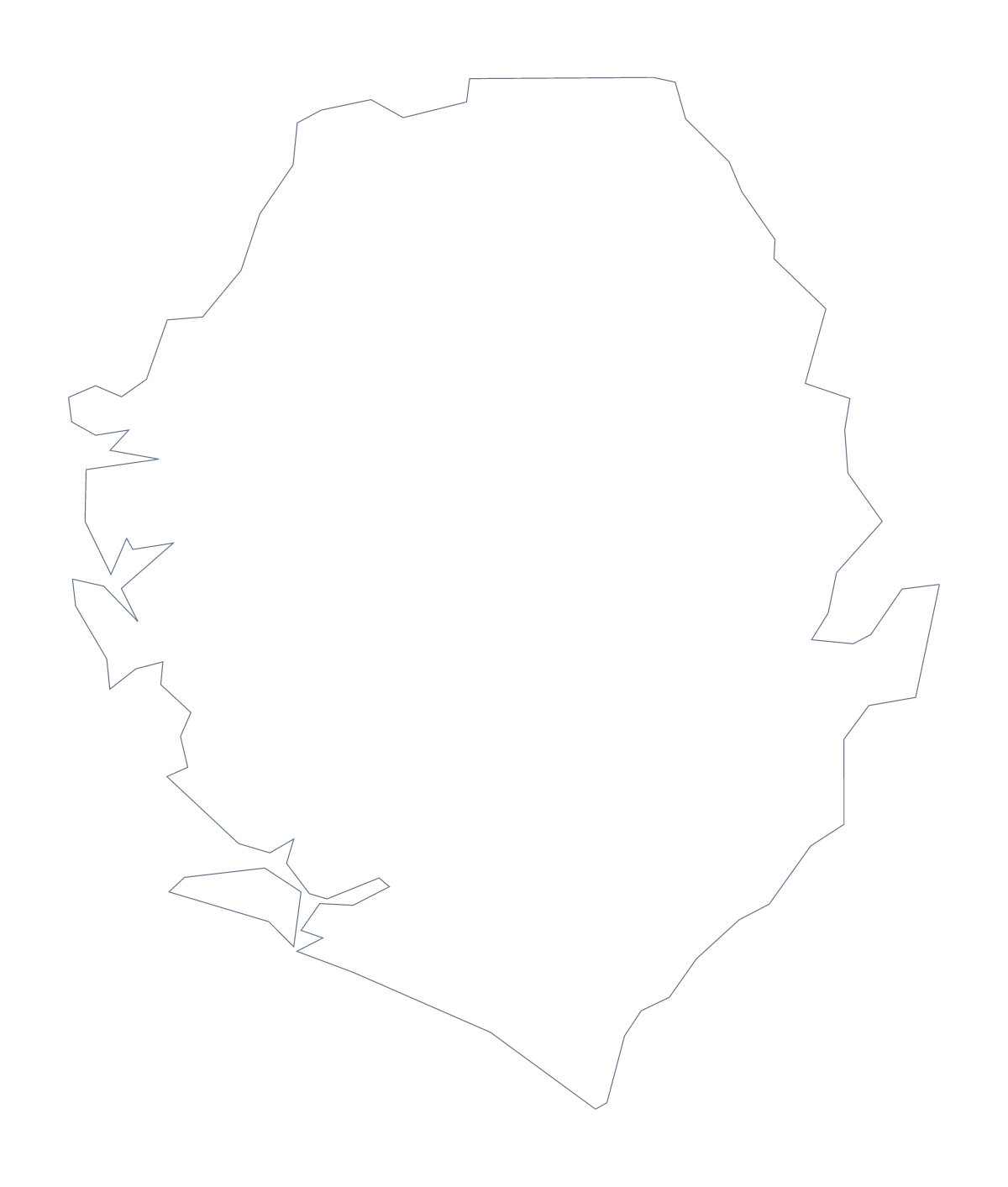
Using a blank map of Sierra Leone
Show a class an unlabelled shape and ask what it is, and you have a lesson starter. A blank map of Sierra Leone suits that game, and this page gives it as a file to put into your own slides or worksheets. There are two versions: Outline only, the shape alone, and With borders, with the 4 administrative areas drawn in. Each is a PNG on a transparent background, an SVG and a PDF.
Which shape is this?
Start a lesson with Outline only on the board. Ask pupils to guess the country, then reveal the name. Change to the With borders version and ask how many areas they can name: Eastern, Northern, Southern and Western Area. With four to place, the whole class can take part, and the list further down this page checks the answers.
A one-page profile
Insert the PNG in a word processor and build the page around it: a short paragraph for each of the four areas beside the map, with each heading taken from the list further down this page.
In design and slides
With four areas, the SVG is easy to restyle. Open it in Illustrator, Inkscape or Figma, colour the areas for a report cover and scale it up without blurring. For a slide, the PNG sits on any colour, since its background is transparent. The With borders file is the political blank map of Sierra Leone; Outline only suits a silhouette.
Print and more
To put the outline on paper, the PDF prints on A4 or Letter, and the printable map of Sierra Leone has the choices on ink. For names or colour on the map itself, use Customise this map.
How to do it in MapMaker
- Choose Outline only for the shape, or With borders for the 4 administrative areas.
- Download the PNG for a slide or worksheet, the SVG for a design tool or a PDF for your paper size.
- Insert the file and add the questions or labels you want around it.
- For names or colours on the map itself, choose Customise this map.
The 4 administrative areas on the map
A key for labelling the map by hand.
- Eastern
- Northern
- Southern
- Western Area
Facts about Sierra Leone
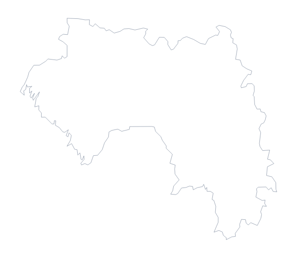
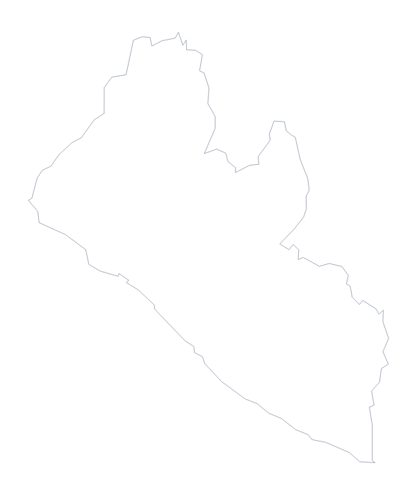
Sierra Leone is in Western Africa. The capital is Freetown. The population is about 7.8 million (2019 estimate). Sierra Leone has an area of about 71,900 km². The largest cities are Freetown, Bo, Kenema, Makeni and Koidu. It borders Guinea and Liberia. The map divides it into 4 administrative areas.
Maps of neighbouring places
Questions people ask
What is the difference between Outline only and With borders?
Outline only is the shape of Sierra Leone on its own. With borders adds its 4 administrative areas, Eastern, Northern, Southern and Western Area, without names, ready for labelling.
Is there a political blank map of Sierra Leone?
Yes. It is the With borders version, with the 4 administrative areas drawn in and no names. Use the list further down this page to check labels.
Is there an answer key for a labelling quiz?
Yes. The list of the 4 administrative areas lower on this page is the key. For a harder quiz, ask pupils to place Freetown, Bo, Kenema, Makeni and Koidu as well.
Which file should I use in a worksheet, a slide or a design?
Use the PNG for a worksheet or slide, because the background is transparent. Use the SVG for design tools or to enlarge it, and the PDF for A4 or Letter paper.