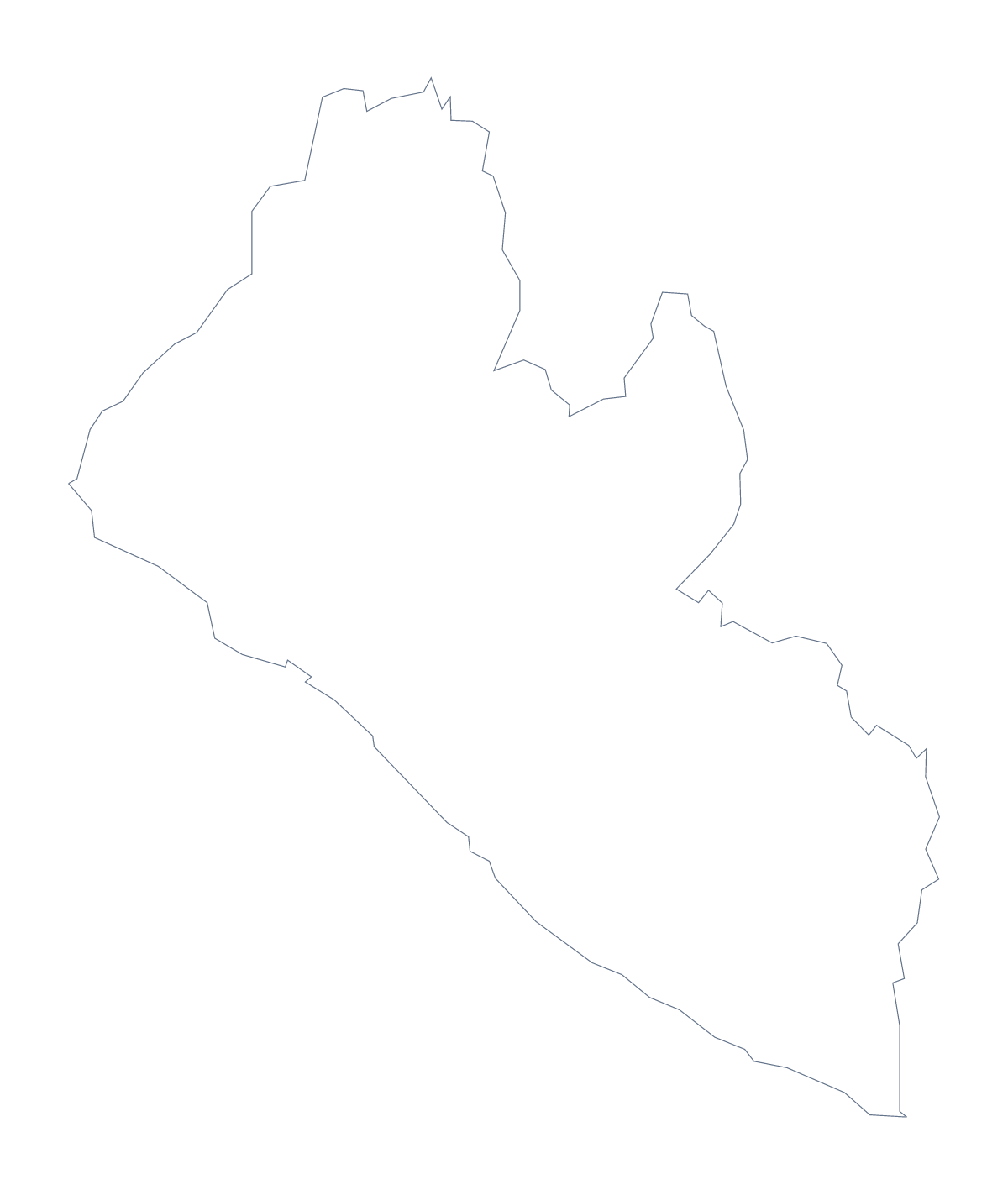
Blank map of Liberia
The outline, free as a PNG, SVG or PDF. Label it, colour it in or drop it into a slide.
Using a blank map of Liberia
Reports on Liberia, school projects and country profiles all need the same thing: the shape, clean, ready to drop into a page. This page has it in two versions. Outline only is the country alone; With borders draws its 15 administrative areas. Each version downloads as a PNG, an SVG or a PDF.
A profile slide or a report cover
A country profile slide often needs a map and little else. Place the transparent PNG on a coloured background, put the name of the country in large type beside it and keep the shape quiet. With With borders, add a numbered marker to the areas a project touches, then list them in a key at the side.
Numbered areas in your own page
Paste the With borders PNG into a page you build in a word processor, put a numbered box next to five areas and give each number a line of notes in a table beneath. The list further down this page gives the spellings.
A table of figures works well beside the shape: one row per number, with the area name copied from the list, a short note and, if you like, a source line under the table. Keep the table in your own document, so the map file stays plain and can be reused on the next page.
Choosing
The political blank map of Liberia is the With borders version, no names. PNG goes into documents and slides, SVG into a design tool, PDF onto A4 or Letter. For black and white or print settings, see the printable map of Liberia, and for colouring and naming areas, choose Customise this map.
How to do it in MapMaker
- Choose With borders for the 15 areas, or Outline only for the country's shape.
- Pick PNG for a worksheet or slide, SVG for a design tool or a PDF for A4 or Letter.
- Insert the file in your document and number the areas you want to describe.
- Spell the area names from the list further down this page.
- Choose Customise this map when you need names, colours or a title.
The 15 administrative areas on the map
A key for labelling the map by hand.
- Bomi
- Bong
- Gbarpolu
- Grand Bassa
- Grand Cape Mount
- Grand Gedeh
- Grand Kru
- Lofa
- Margibi
- Maryland
- Montserrado
- Nimba
- River Cess
- River Gee
- Sinoe
Facts about Liberia
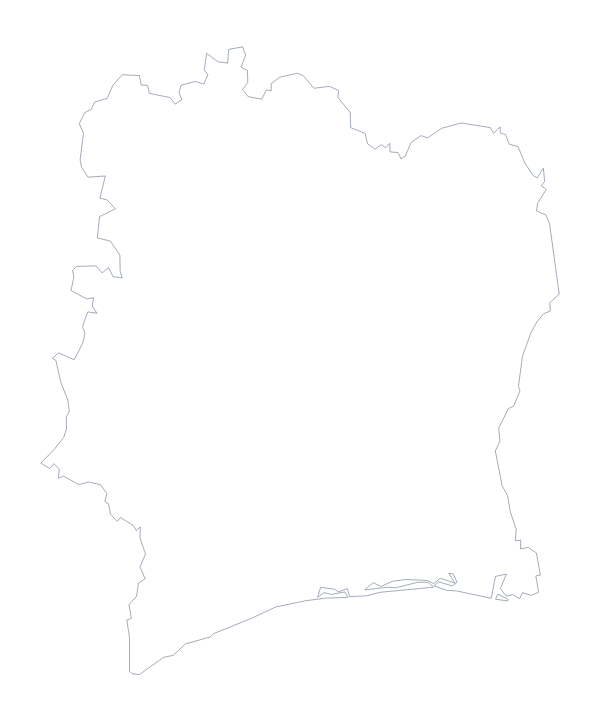
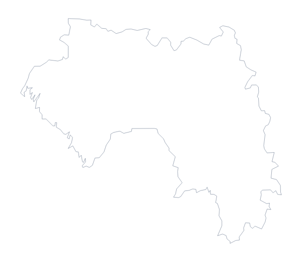
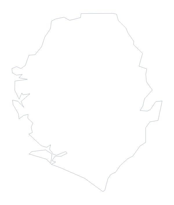
Liberia is in Western Africa. The capital is Monrovia. The population is about 4.9 million (2019 estimate). Liberia has an area of about 95,700 km². The largest cities are Monrovia, Buchanan, Gbarnga, Kakata and Harper. It borders Côte d'Ivoire, Guinea and Sierra Leone. The map divides it into 15 administrative areas.
Maps of neighbouring places
Questions people ask
What is the difference between Outline only and With borders?
Outline only is the country drawn with nothing inside it. With borders adds the lines between Liberia's 15 administrative areas. Neither version has any names on it.
Is there a political blank map of Liberia?
Yes. It is the With borders version, with the 15 areas drawn and left unnamed. The list further down this page gives you the key to check labels against.
Can I open the SVG in Illustrator, Inkscape or Figma?
Yes. It opens in all three as a vector file, so you can recolour each area, change line weights or scale Liberia up for a poster without it going soft.
How do I add names, a title or my own colours?
Choose Customise this map. The editor opens the same outline, where you can show names, pick colours, add a title on the Canvas tab and download the result.