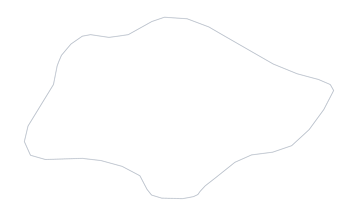
Blank map of Singapore
The outline, free as a PNG, SVG or PDF. Label it, colour it in or drop it into a slide.
Using a blank map of Singapore
The shape of Singapore is easy to place in a document of your own, and this page gives it to you in the form your tool takes. Outline only is the country on its own; With borders draws its 5 administrative areas. Each version comes as a PNG on a transparent background, an SVG and a PDF for A4 or Letter.
A site marker on a slide
For a presentation about where a business operates, the outline works as a quiet marker. Put the PNG on the slide, let the slide's own colour show through the transparent background and add a dot and a short label for each site. The outline is small enough to sit in a corner of a regional slide, beside a larger map, as a way of saying "this is the Singapore part".
Designers and craft makers
In Illustrator, Inkscape or Figma the SVG gives you clean paths to restyle: fill the shape with a brand colour, trace it into an icon or cut it from card. The With borders SVG splits it into 5 separate shapes, which you can colour one at a time for a poster or a handout.
Labelling and colouring in
The political blank map of Singapore is the With borders version. Its 5 areas are labelled in the list further down this page, which you can copy into a caption or a table beside the map in a report. Younger children may prefer Outline only, since there are no inner lines to cross.
When the map needs names printed on it, pins or a title, Customise this map opens the same outline in the editor. For a page ready for the printer, see the printable map of Singapore.
How to do it in MapMaker
- Choose Outline only for the shape, or With borders for its 5 areas.
- Download the PNG for a slide or worksheet, the SVG for a design tool or a PDF for A4 or Letter.
- Place the file in your document and add dots or labels of your own.
- Choose Customise this map if you need names, pins or a title on the map itself.
The 5 administrative areas on the map
A key for labelling the map by hand.
- Central Singapore Community Development Council
- North East Community Development Council
- North West
- South East Community Development Council
- South West Community Development Council
Facts about Singapore
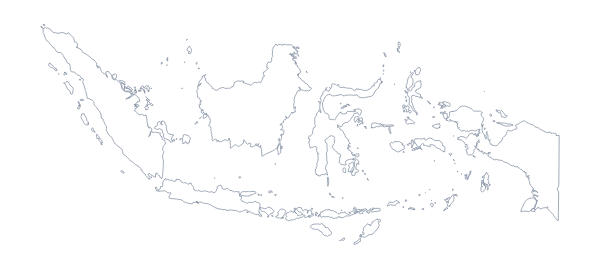
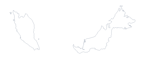
Singapore is in South-Eastern Asia. The capital is Singapore. The population is about 5.7 million (2019 estimate). Singapore has an area of about 510 km². Across the sea, its neighbours include Indonesia and Malaysia. The map divides it into 5 administrative areas.
Maps of neighbouring places
Questions people ask
What is the difference between Outline only and With borders?
Outline only is the shape of Singapore with nothing drawn inside it. With borders adds the lines between its 5 administrative areas, which helps when you want to label or colour them separately.
Is there a political blank map of Singapore?
Yes, the With borders version. It draws the 5 administrative areas with no names, so you can add your own labels or use the list on this page as an answer key.
Can I make the outline bigger without it going blurry?
Yes. Use the SVG, which is a vector file and stays sharp at any size, or the PDF. The PNG is fixed in size and will blur if you stretch it far beyond what you downloaded.