Blank map of Sweden
The outline, free as a PNG, SVG or PDF. Label it, colour it in or drop it into a slide.
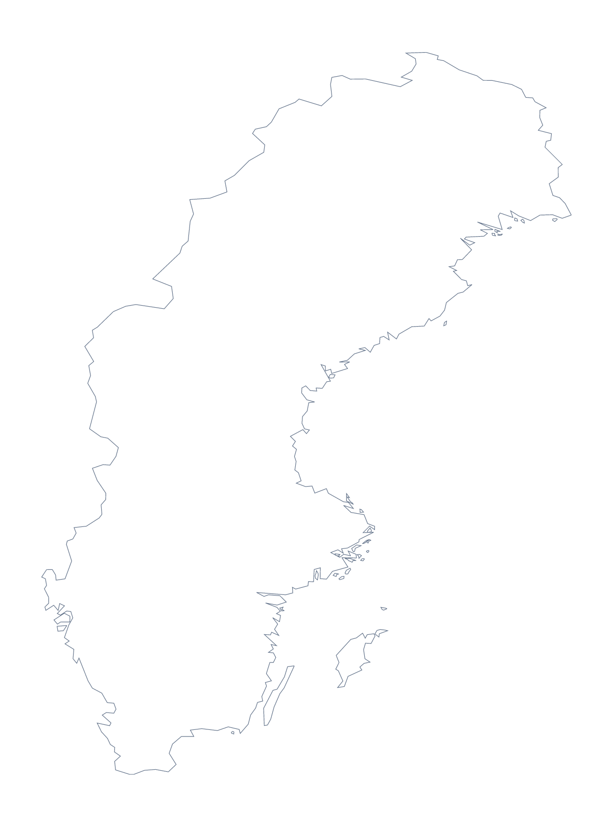
Using a blank map of Sweden
A blank map of Sweden goes into things: a quiz, a slide, a poster, a piece of artwork. You pick the version, Outline only or With borders, which adds its 21 administrative areas, and the file: a PNG with a transparent background, an SVG or a PDF on A4 or Letter.
A quiz built in your own document
Put the With borders PNG in a word processor or a slide, and add numbered labels beside seven or eight areas. Pupils write the names against the numbers. Keep the list further down this page as the answer sheet.
Slides and posters
The transparent PNG takes the colour of the slide it sits on, so Sweden can appear on a navy title slide or a pale report cover with no white box. For a poster, the SVG is the better file: it opens in Illustrator, Inkscape or Figma and scales up without blurring, so you can fill the shape with a photo or restyle the area lines. Delete the lines altogether for a plain silhouette.
Colouring in
Younger children can colour the shape of the outline and give the sheet a title. For older pupils, With borders suits a group task: give each of three groups seven areas to colour in one shade, and the finished sheets build into a single map.
Which version
The political blank map of Sweden is the With borders version. If you want to print it, the printable map of Sweden has the paper choices; for names, a title or the neighbours Norway and Finland, choose Customise this map.
How to do it in MapMaker
- Choose With borders for the 21 administrative areas, or Outline only for the plain shape.
- Pick PNG for a quiz or slide, SVG for a design tool or PDF, A4 or PDF, Letter.
- Place the file on your page and resize it from a corner so the proportions hold.
- Choose Customise this map for names, colours or a title, and download from the editor.
The 21 administrative areas on the map
A key for labelling the map by hand.
- Blekinge
- Dalarna
- Gävleborg
- Gotland
- Halland
- Jämtland
- Jönköping
- Kalmar
- Kronoberg
- Norrbotten
- Örebro
- Östergötland
- Skåne
- Södermanland
- Stockholm
- Uppsala
- Värmland
- Västerbotten
- Västernorrland
- Västmanland
- Västra Götaland
Facts about Sweden
Sweden is in Northern Europe. The capital is Stockholm. The population is about 10 million (2019 estimate). Sweden has an area of about 443,000 km². The largest cities are Stockholm, Göteborg, Malmö, Uppsala and Västerås. It borders Finland and Norway. The map divides it into 21 administrative areas.
Maps of neighbouring places
Questions people ask
What is the difference between Outline only and With borders?
Outline only is the shape of Sweden with no lines inside. With borders adds the lines of its 21 administrative areas. Neither version carries names.
Is there a political blank map of Sweden?
Yes. It is the With borders version, with the 21 administrative areas drawn in. The list further down this page gives each area's name for checking answers.
Does the PNG have a transparent background?
Yes. Everything outside the shape of Sweden is see-through, so it takes the colour of the slide or page you place it on.
Can I colour the map in before I download it?
Not on this page, which offers the outline as it is. Choose Customise this map to colour areas in the editor, or use the printable page's bar to colour before printing a PDF.