Blank map of Finland
The outline, free as a PNG, SVG or PDF. Label it, colour it in or drop it into a slide.
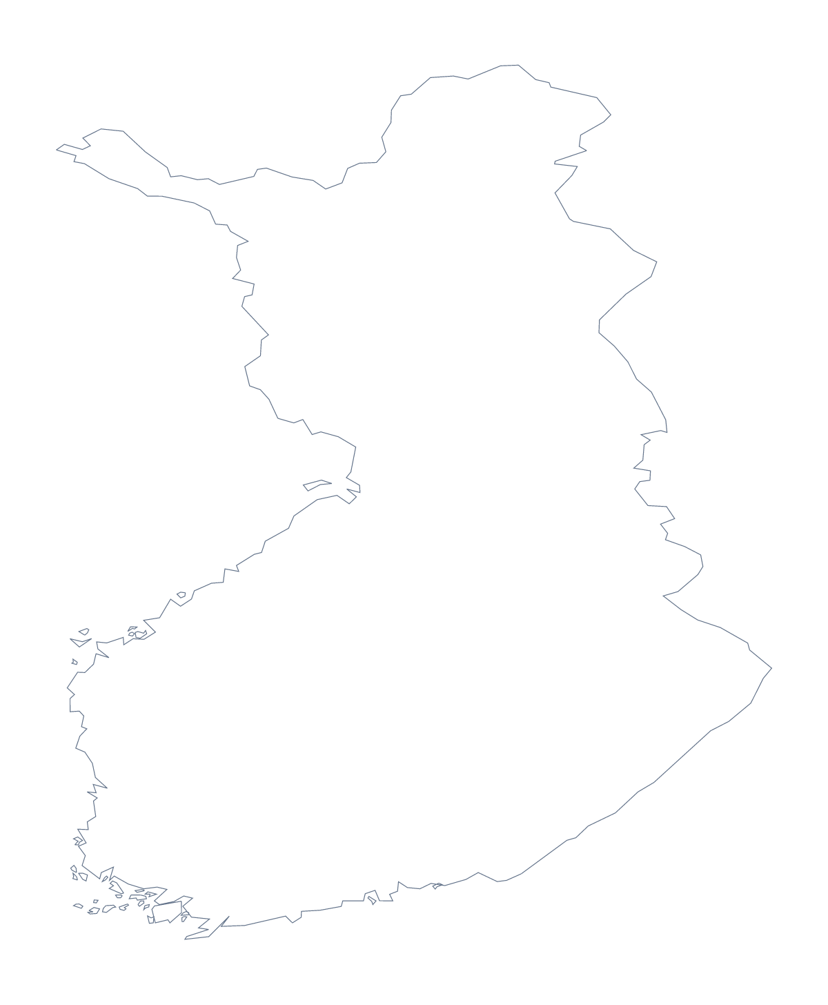
Using a blank map of Finland
Many people want the shape of Finland to trace, cut out or build on: a craft for a class, a poster, a cover for a report. You can take it here as Outline only or as With borders, which draws the 18 administrative areas. Each version comes as a PNG on a transparent background, an SVG and a PDF for A4 or Letter.
Tracing, cutting and colouring
Print the PDF of Outline only, or place the PNG on a page of your own, and children can trace the shape onto thin paper, cut it out and stick it into a project book. With borders works for colouring by a rule: older pupils choose a key, such as one colour for each of five groups of areas, and colour Lapland, Kainuu and the rest to match it.
A design starting point
In Illustrator, Inkscape or Figma, the SVG scales to any size without blurring, so a poster and a postcard can use the same file. Try a heavier line on the outline, or fill the areas of With borders from a brand palette. On a slide, the transparent PNG sits on the slide's colour with space for a title beside it.
Which version
The political blank map of Finland is the With borders version. If you want a silhouette, Outline only is plainer. A labelling worksheet can use With borders beside a word bank of area names, and the list on this page checks the answers. For ink and paper choices see the printable map of Finland.
How to do it in MapMaker
- Choose With borders for the 18 administrative areas, or Outline only for the plain shape.
- Download the PNG for a page or slide, the SVG for a design tool or a PDF for A4 or Letter.
- Place or print the file, then trace, cut, label or colour it as the task needs.
- Use the list of areas on this page as the key when you mark labelling answers.
- Choose Customise this map if the map needs names, colours or a title, and download from the editor.
The 18 administrative areas on the map
A key for labelling the map by hand.
- Central Finland
- Central Ostrobothnia
- Finland Proper
- Kainuu
- Kymenlaakso
- Lapland
- North Karelia
- Northern Ostrobothnia
- Northern Savonia
- Ostrobothnia
- Päijänne Tavastia
- Pirkanmaa
- Satakunta
- South Karelia
- Southern Ostrobothnia
- Southern Savonia
- Tavastia Proper
- Uusimaa
Facts about Finland
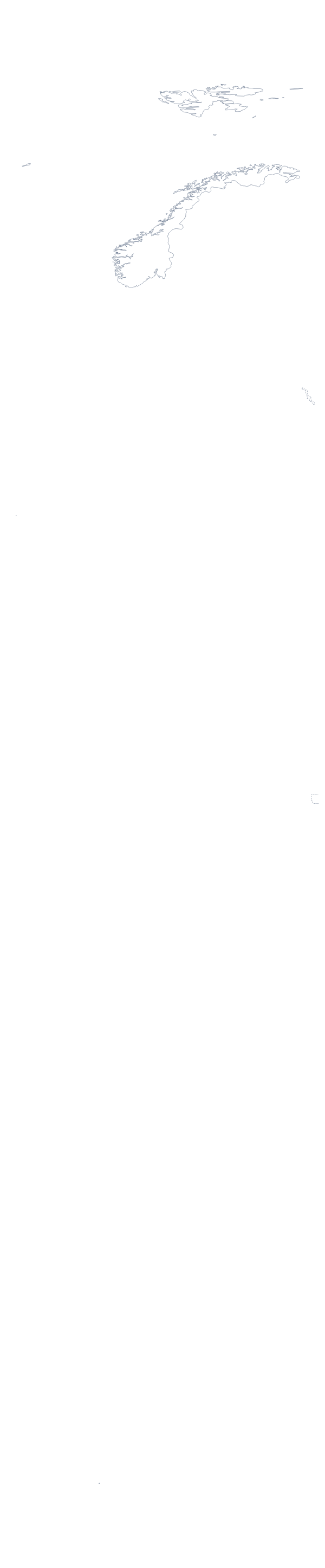
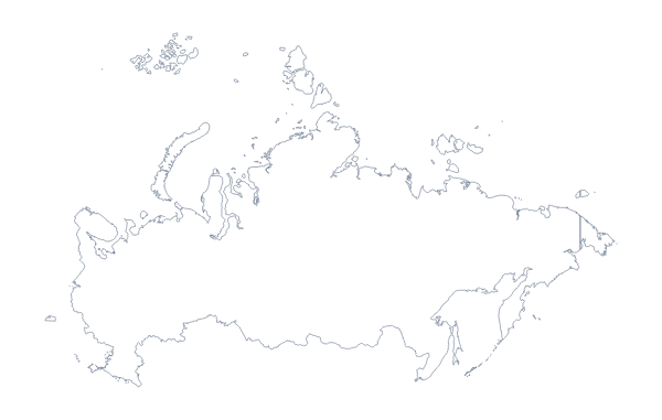
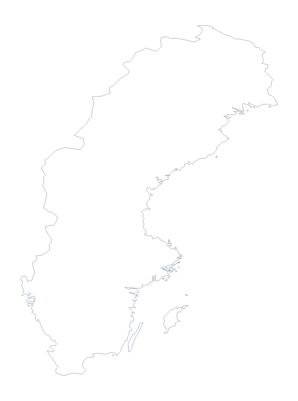
Finland is in Northern Europe. The capital is Helsinki. The population is about 5.5 million (2019 estimate). Finland has an area of about 331,000 km². The largest cities are Helsinki, Tampere, Turku, Oulu and Lahti. It borders Norway, Russia and Sweden. The map divides it into 18 administrative areas.
Maps of neighbouring places
Questions people ask
Is there a political blank map of Finland?
Yes. With borders is the political blank map: the 18 administrative areas drawn inside the outline, with no names on it. Outline only is the shape of Finland on its own.
Does the blank map show the names of the areas?
No, by design. The list of 18 administrative areas further down this page is a key for labelling by hand, and you can number the areas to match it.
Which file should I use in a worksheet, a slide or a design?
The PNG for a worksheet or a slide, because its transparent background takes the colour behind it. The SVG for Illustrator, Inkscape or Figma, and a PDF if you want the outline on A4 or Letter.
Can I show the countries around Finland?
Not on this page. The editable map of Finland has a Neighbours switch that draws Norway, Russia and Sweden in grey, and you can download the result from there.