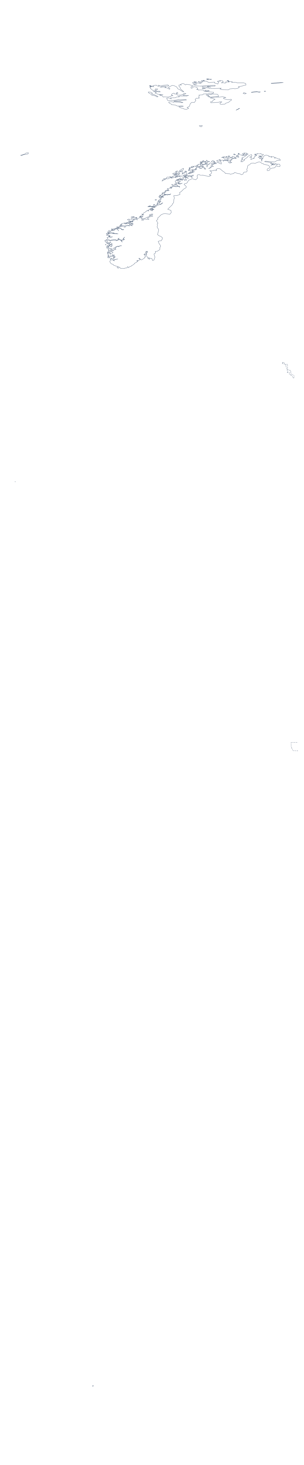
Blank map of Norway
The outline, free as a PNG, SVG or PDF. Label it, colour it in or drop it into a slide.
Using a blank map of Norway
Norway turns up on posters, in report covers and in classroom wall displays, and each of them needs the shape as a file. Here it is in two versions: Outline only, with nothing inside, and With borders, which adds its 21 administrative areas. Both come as a PNG on a transparent background, an SVG or a PDF.
A cover, a poster or a display
Place the PNG on a report cover tinted in your brand colour, and the country sits on it without a white box. In a design tool, open the SVG and give the outline a heavy line, or fill the areas with a palette that matches a campaign. A class display can use the SVG as a large outline for pupils to decorate, one area per group.
A labelling and quiz sheet
In your own worksheet, put the PNG of With borders beside a word bank of six or eight areas, say Akershus, Finnmark, Hedmark and Vestfold among them, and let pupils draw a line from each name to its area. Keep the list further down this page as the answer sheet. A warm-up is quicker: show Outline only on a slide with no title and ask which country it is.
Which version
The political blank map of Norway is the With borders version: area lines, no names. Take Outline only where inner lines would distract, as on a logo sketch or for younger pupils. For print choices of paper and ink, use the printable map of Norway; for names, colours or a title, Customise this map opens the same outline in the editor. The PDF prints at 100% on A4 or Letter as it is.
How to do it in MapMaker
- Choose With borders for the 21 areas, or Outline only for the shape.
- Pick PNG for a slide or worksheet, SVG for a design tool or a PDF for A4 or Letter.
- Place the PNG on your page and resize it from a corner so the proportions hold.
- Set a word bank of areas for a quiz and check answers against the list on this page.
- Choose Customise this map when it needs names, colours or a title.
The 21 administrative areas on the map
A key for labelling the map by hand.
- Akershus
- Aust-Agder
- Bouvet Island
- Buskerud
- Finnmark
- Hedmark
- Hordaland
- Møre og Romsdal
- Nord-Trøndelag
- Nordland
- Oppland
- Oslo
- Østfold
- Rogaland
- Sogn og Fjordane
- Sør-Trøndelag
- Svalbard
- Telemark
- Troms
- Vest-Agder
- Vestfold
Facts about Norway
Norway is in Northern Europe. The capital is Oslo. The population is about 5.3 million (2019 estimate). Norway has an area of about 380,000 km². The largest cities are Oslo, Bergen, Stavanger, Trondheim and Bærum. It borders Finland, Russia and Sweden. The map divides it into 21 administrative areas.
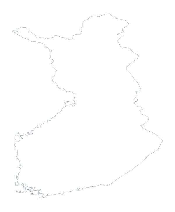
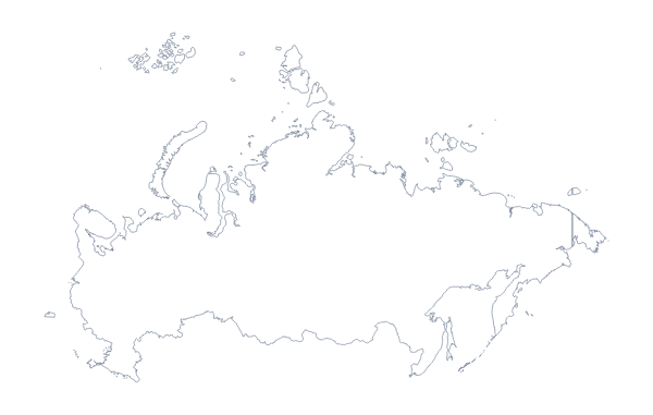
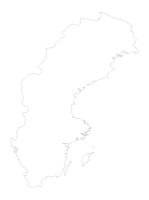
Maps of neighbouring places
Questions people ask
Is there a political blank map of Norway?
Yes. With borders is the political blank map of Norway: it draws the 21 administrative areas without names, and the list further down this page names every one for checking answers.
Does the PNG have a transparent background?
Yes. Everything around the outline is see-through, so Norway takes the colour of the slide, worksheet or poster you place it on.
Can I open the SVG in Illustrator, Inkscape or Figma?
Yes. The SVG is a vector file, so the outline of Norway and the lines of its areas stay sharp at any size and can be recoloured or traced.
Is there an answer key for a labelling quiz?
Yes. The list of administrative areas further down this page is the key. Number the ones you want found in your own worksheet and mark answers against the list.