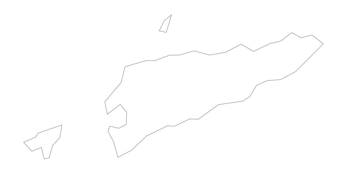
Blank map of Timor-Leste
The outline, free as a PNG, SVG or PDF. Label it, colour it in or drop it into a slide.
Using a blank map of Timor-Leste
Outline only gives you Timor-Leste as one shape; With borders draws its 13 administrative areas. Each version comes as a PNG on a transparent background, an SVG and a PDF for A4 or Letter, so you can put the shape into a worksheet, a slide or a piece of artwork without drawing it yourself.
A set of outlines for the region
Timor-Leste is one of the members on the map of ASEAN, and a presentation about the group often needs every member as a separate shape. Download each member's outline the same way and resize each on the slide by eye, since the files are not drawn to one scale. For the group as a whole, the blank map of ASEAN is a ready-made starting point.
Labelling and colouring
The political blank map of Timor-Leste is the With borders version. With 13 areas it is a comfortable size for a pupils' labelling sheet: place the PNG in a document, number six areas and ask for the names against the numbers. The list further down this page is the answer sheet. Younger children can use Outline only, a single shape, as the cover of a project booklet.
In a design tool
The SVG opens in Illustrator, Inkscape or Figma with every area as a separate path. Fill Baucau, Dili or Viqueque in one colour for a poster, or merge the paths back into a single shape for a logo sketch or a cut-out. Because it is a vector file, it can be enlarged for a display without blurring.
More than a shape
For names, pins or a title on the map itself, Customise this map opens the same outline in the editor. Printing choices, including black and white, are on the printable map of Timor-Leste.
How to do it in MapMaker
- Choose Outline only for the shape, or With borders for the 13 areas.
- Download the PNG for a slide or worksheet, the SVG for a design tool or a PDF for A4 or Letter.
- Place the file in your document and number the areas you want named.
- Check the answers against the list of areas below the map.
- Choose Customise this map for names or a title on the map.
The 13 administrative areas on the map
A key for labelling the map by hand.
- Aileu
- Ainaro
- Baucau
- Bobonaro
- Cova Lima
- Dili
- Ermera
- Lautém
- Liquiçá
- Manatuto
- Manufahi
- Oe-Cusse Ambeno
- Viqueque
Facts about Timor-Leste
Timor-Leste is in South-Eastern Asia. The capital is Dili. The population is about 1.3 million (2019 estimate). Timor-Leste has an area of about 15,100 km². It borders Indonesia. The map divides it into 13 administrative areas.
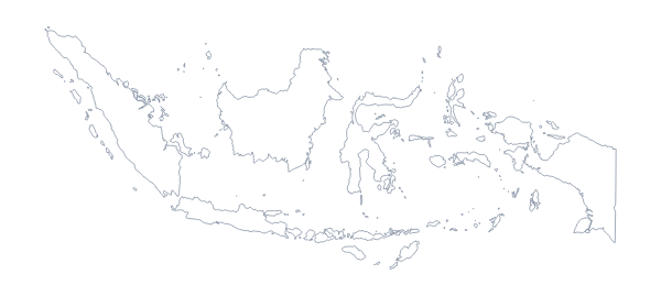
Maps of neighbouring places
Questions people ask
Is there a political blank map of Timor-Leste?
Yes, the With borders version. It draws the lines between the 13 administrative areas with no names, so the list further down this page can serve as the key.
Does the PNG have a transparent background?
Yes. The PNG has no background colour, so on a slide or worksheet only the outline of Timor-Leste shows and the colour behind it comes through.
Which file should I use in a worksheet, a slide or a design?
Use the PNG for a worksheet or slide, the SVG for Illustrator, Inkscape or Figma, where it scales without blurring, and the PDF for A4 or Letter.
Can I show the countries around Timor-Leste?
Not on this page, where the map does not change. Choose Customise this map and switch on Neighbours in the editor to draw the surrounding countries, then download from there.