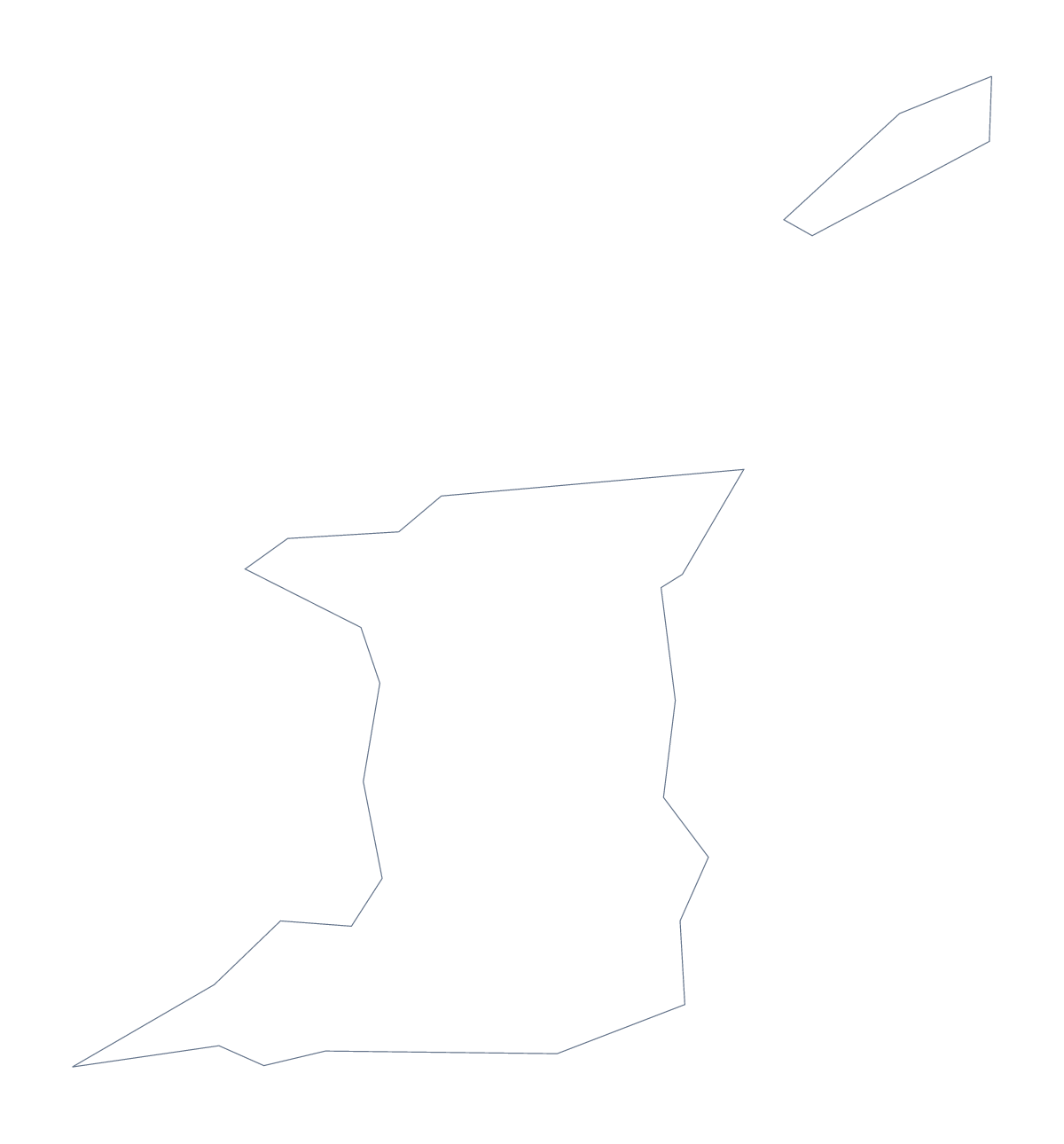
Blank map of Trinidad and Tobago
The outline, free as a PNG, SVG or PDF. Label it, colour it in or drop it into a slide.
Using a blank map of Trinidad and Tobago
Trinidad and Tobago comes as two files in one page. Outline only is the country as a single shape, and With borders shows the lines between its 16 administrative areas. Whichever you choose, you can take it as a PNG on a transparent background, an SVG or a PDF for A4 or Letter, and build the rest yourself.
Headers and captions
Place the With borders PNG at the head of a page and give the areas your text covers a caption each. Arima, Chaguanas, Point Fortin, Princes Town and Mayaro-Rio Claro are among the names in the list further down the page. Some are long, so leave a wide margin for captions.
Slides and posters
A slide about the country looks best with the transparent PNG sitting straight on the theme colour. Beside it, add Port-of-Spain and San Fernando as text, or a few headline figures. For a poster or a report cover, open the SVG in Illustrator, Inkscape or Figma, scale it to fit and restyle the lines.
A plain backdrop
Outline only has no lines inside the shape, so it makes a quiet backdrop behind a title or a table of figures. Lighten it in your slide software and the figures stay easy to read.
Which one to take
The political blank map of Trinidad and Tobago is the With borders version. Take PNG for documents and slides, SVG for design tools and PDF for A4 or Letter. Colour choices and black and white print settings are on the printable map of Trinidad and Tobago.
How to do it in MapMaker
- Choose With borders for the 16 areas, or Outline only for the plain shape.
- Pick PNG for a worksheet or slide, SVG for a design tool or a PDF for paper.
- Place the file on your page, leave room for captions and scale it from a corner.
- Take the area names for your captions from the list further down.
- Choose Customise this map to add names, colours or a title in the editor.
The 16 administrative areas on the map
A key for labelling the map by hand.
- Arima
- Chaguanas
- Couva-Tabaquite-Talparo
- Diego Martin Regional Corporation
- Mayaro-Rio Claro
- Penal-Debe Regional Corporation
- Point Fortin
- Port of Spain
- Princes Town
- San Fernando
- San Juan–Laventille
- Sangre Grande Regional Corporation
- Siparia Regional Corporation
- Tobago
- Tobago
- Tunapuna-Piarco Regional Corporation
Facts about Trinidad and Tobago
Trinidad and Tobago is in the Caribbean. The capital is Port-of-Spain. The population is about 1.4 million (2019 estimate). Trinidad and Tobago has an area of about 5,140 km². The largest cities are Port-of-Spain and San Fernando. Across the sea, its neighbours include Grenada, Saint Vincent and the Grenadines and Venezuela. The map divides it into 16 administrative areas.
Maps of neighbouring places

Questions people ask
What is the difference between Outline only and With borders?
Outline only is the shape of Trinidad and Tobago with nothing inside it. With borders adds the lines between its 16 administrative areas. Neither version has any names.
Does the PNG have a transparent background?
Yes. The space around the outline is see-through, so the PNG takes the colour of the slide, worksheet or poster it sits on, with no white box.
Is there an answer key for a labelling quiz?
Yes. The list further down this page names the 16 areas that With borders draws. Number the ones your pupils must find and mark their answers against it.
How do I add names, a title or my own colours?
Choose Customise this map. The editor opens the same outline, where you can show names, add a title under Canvas, colour the areas and download a PNG, JPG or SVG.